5202 E 9th St Texarkana, AR 71854
Estimated Value: $184,000 - $519,000
Studio
2
Baths
2,016
Sq Ft
$184/Sq Ft
Est. Value
About This Home
This home is located at 5202 E 9th St, Texarkana, AR 71854 and is currently estimated at $370,807, approximately $183 per square foot. 5202 E 9th St is a home located in Miller County with nearby schools including Arkansas High School and Washington Academy.
Ownership History
Date
Name
Owned For
Owner Type
Purchase Details
Closed on
May 5, 2022
Sold by
Nfj Partners Lp
Bought by
Wilson Willis D and Wilson Lori A
Current Estimated Value
Purchase Details
Closed on
Feb 7, 2019
Sold by
Lovelis Jack M
Bought by
Wilson Willis D and Wilson Lori Ann
Home Financials for this Owner
Home Financials are based on the most recent Mortgage that was taken out on this home.
Original Mortgage
$240,000
Interest Rate
4.4%
Mortgage Type
New Conventional
Purchase Details
Closed on
Jun 30, 2015
Sold by
Dlb Properties Llc
Bought by
Lovelis Jack M
Purchase Details
Closed on
Feb 29, 1980
Bought by
Lovelace Joe D
Create a Home Valuation Report for This Property
The Home Valuation Report is an in-depth analysis detailing your home's value as well as a comparison with similar homes in the area
Purchase History
| Date | Buyer | Sale Price | Title Company |
|---|---|---|---|
| Wilson Willis D | $55,000 | Langdon Davis | |
| Wilson Willis D | $325,000 | None Available | |
| Lovelis Jack M | -- | -- | |
| Lovelace Joe D | $35,000 | -- |
Source: Public Records
Mortgage History
| Date | Status | Borrower | Loan Amount |
|---|---|---|---|
| Previous Owner | Wilson Willis D | $240,000 |
Source: Public Records
Tax History
| Year | Tax Paid | Tax Assessment Tax Assessment Total Assessment is a certain percentage of the fair market value that is determined by local assessors to be the total taxable value of land and additions on the property. | Land | Improvement |
|---|---|---|---|---|
| 2025 | $3,011 | $80,070 | $6,880 | $73,190 |
| 2024 | $2,871 | $58,720 | $6,870 | $51,850 |
| 2023 | $2,799 | $58,720 | $6,870 | $51,850 |
| 2022 | $2,849 | $58,720 | $6,870 | $51,850 |
| 2021 | $2,849 | $58,720 | $6,870 | $51,850 |
| 2020 | $2,849 | $58,720 | $6,870 | $51,850 |
| 2019 | $2,683 | $55,690 | $6,870 | $48,820 |
| 2018 | $3,058 | $55,690 | $6,870 | $48,820 |
| 2017 | $3,057 | $55,690 | $6,870 | $48,820 |
| 2016 | $3,058 | $55,690 | $6,870 | $48,820 |
| 2015 | $3,015 | $54,923 | $6,870 | $48,053 |
| 2014 | $1,987 | $36,190 | $4,720 | $31,470 |
Source: Public Records
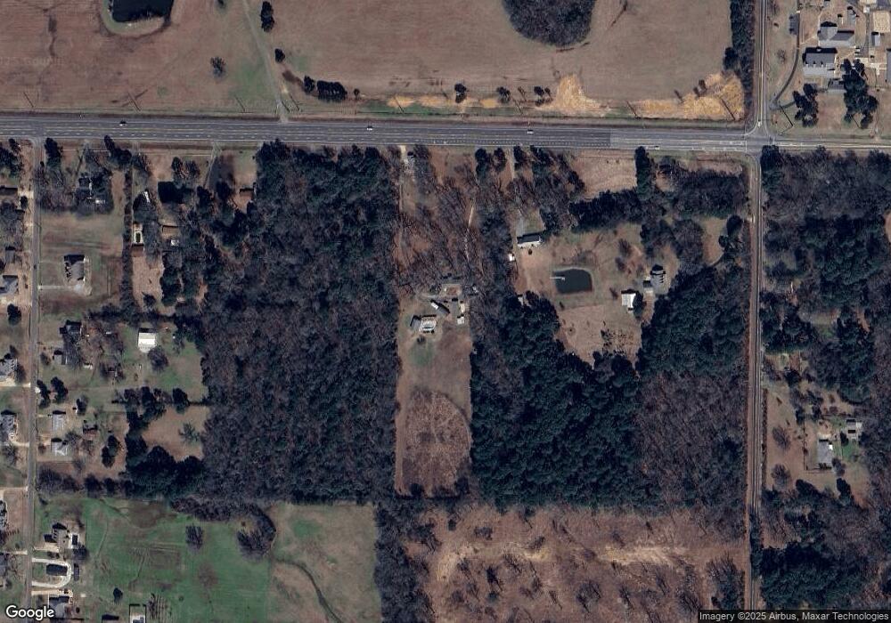
Map
Nearby Homes
- TBD U S Highway 82
- 409 Meadows Rd
- 225 Marguerite Dr
- 340 Meadowridge Cir
- 415 Meadowridge Cir
- 344 Meadowridge Cir
- 303 Jay Ln
- 4404 E 9th
- 4302 E 9th St
- 0 E 54th St
- 409 Paisley Cir
- 405 Paisley Cir
- 432 Paisley Cir
- 436 Paisley Cir
- 412 Paisley Cir
- 2105 Capitol Hill Rd
- 526 Shell
- 405 Shell Dr
- 3730 Genoa Rd
- 310 Shell Dr
- 5208 E 9th St
- 0 Harris Ln Unit 109964
- 845 N Rondo Rd
- 9974 U S Highway 82
- 5100 E 9th St
- 832 N Rondo Rd
- 818 N Rondo Rd
- 704 Meadows Rd
- 718 Meadows Rd
- 5006 E 9th St
- 620 Meadows Rd
- 620 Meadows Rd
- 810 N Rondo Rd
- 5215 Mcnatt Ln
- 736 N Rondo Rd
- 600 Meadows Rd
- 522 Meadows Rd
- 5410 E 9th St
- 5121 Mcnatt Ln
- 711 Meadows Rd
Your Personal Tour Guide
Ask me questions while you tour the home.