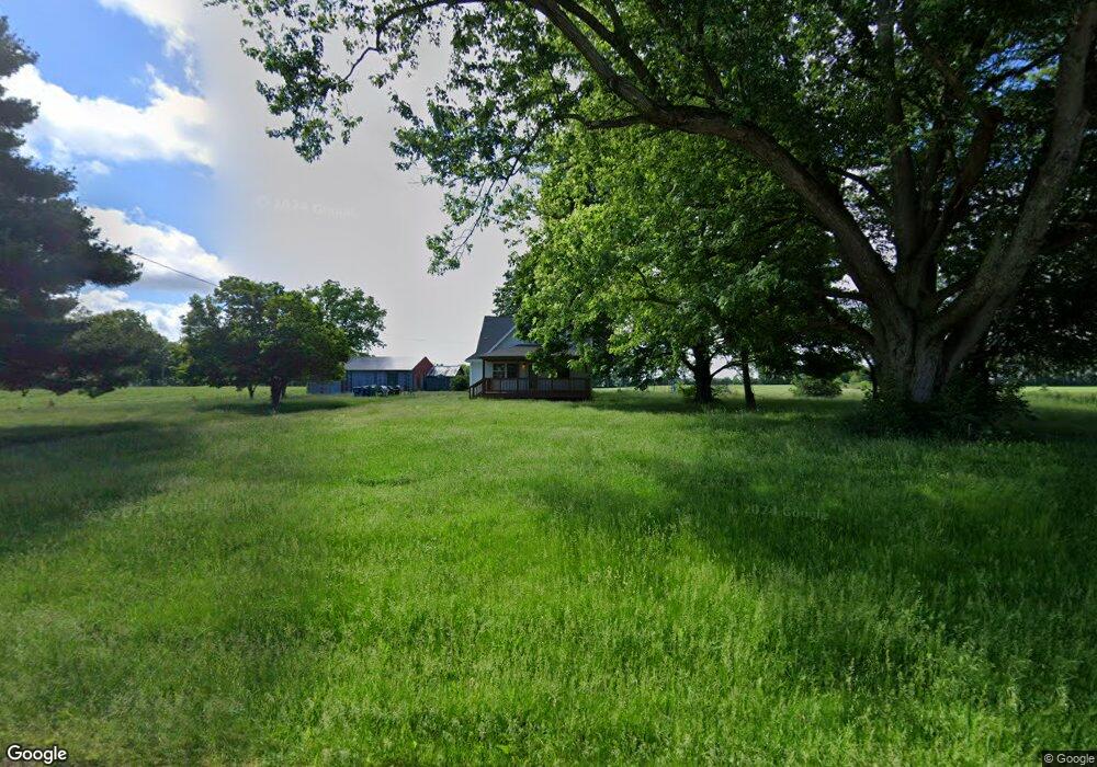
5202 W Us Highway 6 Union Mills, IN 46382
Estimated Value: $260,069 - $396,000
3
Beds
2
Baths
2,718
Sq Ft
$122/Sq Ft
Est. Value
About This Home
This home is located at 5202 W Us Highway 6, Union Mills, IN 46382 and is currently estimated at $332,767, approximately $122 per square foot. 5202 W Us Highway 6 is a home located in LaPorte County with nearby schools including South Central Elementary School and South Central Junior/Senior High School.
Ownership History
Date
Name
Owned For
Owner Type
Purchase Details
Closed on
May 18, 2017
Sold by
Kelly Timothy M and Kelly Mary Jane
Bought by
Kelly Corin Shawn and Kelly Corin S
Current Estimated Value
Purchase Details
Closed on
Dec 20, 2007
Sold by
Satoski Donald J and Satoski Joyce E
Bought by
Satoski Donald J and Satoski Joyce
Purchase Details
Closed on
Aug 28, 2007
Sold by
Satoski Donald J and Satoski Joyce E
Bought by
Kelly Timothy M and Kelly Corin S
Home Financials for this Owner
Home Financials are based on the most recent Mortgage that was taken out on this home.
Original Mortgage
$60,750
Interest Rate
6.72%
Mortgage Type
Unknown
Purchase Details
Closed on
Jun 6, 2006
Sold by
Satkoski Daniel R
Bought by
Satoski Donald J and Satoski Joyce E
Create a Home Valuation Report for This Property
The Home Valuation Report is an in-depth analysis detailing your home's value as well as a comparison with similar homes in the area
Home Values in the Area
Average Home Value in this Area
Purchase History
| Date | Buyer | Sale Price | Title Company |
|---|---|---|---|
| Kelly Corin Shawn | -- | None Available | |
| Satoski Donald J | -- | None Available | |
| Kelly Timothy M | -- | Ticor Title Insurance Co | |
| Satoski Donald J | -- | None Available |
Source: Public Records
Mortgage History
| Date | Status | Borrower | Loan Amount |
|---|---|---|---|
| Previous Owner | Kelly Timothy M | $60,750 |
Source: Public Records
Tax History Compared to Growth
Tax History
| Year | Tax Paid | Tax Assessment Tax Assessment Total Assessment is a certain percentage of the fair market value that is determined by local assessors to be the total taxable value of land and additions on the property. | Land | Improvement |
|---|---|---|---|---|
| 2024 | $1,827 | $186,300 | $30,300 | $156,000 |
| 2022 | $1,874 | $181,100 | $30,300 | $150,800 |
| 2021 | $3,360 | $168,600 | $30,300 | $138,300 |
| 2020 | $1,577 | $168,600 | $30,300 | $138,300 |
| 2019 | $1,600 | $163,100 | $30,300 | $132,800 |
| 2018 | $1,391 | $154,500 | $27,300 | $127,200 |
| 2017 | $1,390 | $151,100 | $27,300 | $123,800 |
| 2016 | $1,130 | $140,700 | $27,300 | $113,400 |
| 2014 | $688 | $103,700 | $22,300 | $81,400 |
Source: Public Records
Map
Nearby Homes
- 5653 S 425 W
- 210 Union St
- 411 E Hamilton St
- 104 N Cummings St
- 6475 W Joliet Rd
- 3555 S Maple Lane Ct
- W 800 S V L
- 5022 S Pine Valley Dr
- 998 W 400 S
- 6465 W 1100 S
- 1111 S 500 W
- 746 (lot43) E Eagle Flight Ln
- 604 Stanley Dr
- 1 Avenue B
- 1139 S 500 W
- 655 Fairview St
- 110 S Main St
- 603 Julie Dr
- 307 N Main St
- Lot 17 S Morgan Rd
- 5011 W Us Highway 6
- 5011 W Us Highway 6
- 4995 W Us Highway 6
- 5938 S 500 W
- 5077 W Us Highway 6
- 5123 U S 6
- 5123 W Us Highway 6
- 6097 S 500 W
- 5203 W Us Highway 6
- 4801 W Us Highway 6
- 5281 W Us Highway 6
- 4833 W Us Highway 6
- 6194 S 500 W
- 4844 W Us Highway 6
- 4844 U S 6
- 5171 W Us Highway 6
- 5719 S 500 W
- 5694 S 500 W
- 4777 W Us Highway 6
- 5384 W Us Highway 6