5203 Twinging Dr Okemos, MI 48864
Estimated Value: $552,167 - $641,000
4
Beds
3
Baths
3,400
Sq Ft
$175/Sq Ft
Est. Value
About This Home
This home is located at 5203 Twinging Dr, Okemos, MI 48864 and is currently estimated at $594,792, approximately $174 per square foot. 5203 Twinging Dr is a home located in Ingham County with nearby schools including Cornell Elementary School, Kinawa School, and Chippewa Middle School.
Ownership History
Date
Name
Owned For
Owner Type
Purchase Details
Closed on
Sep 21, 2015
Sold by
Kbbv Llc
Bought by
Raghavendra Redd Y Vutkoor and Venkataratnam Bhanumathi Gajula
Current Estimated Value
Home Financials for this Owner
Home Financials are based on the most recent Mortgage that was taken out on this home.
Original Mortgage
$332,500
Outstanding Balance
$263,316
Interest Rate
3.93%
Mortgage Type
New Conventional
Estimated Equity
$331,476
Purchase Details
Closed on
Nov 26, 2014
Sold by
Louis J Eyde Family Llc
Bought by
Kbbv Llc
Create a Home Valuation Report for This Property
The Home Valuation Report is an in-depth analysis detailing your home's value as well as a comparison with similar homes in the area
Home Values in the Area
Average Home Value in this Area
Purchase History
| Date | Buyer | Sale Price | Title Company |
|---|---|---|---|
| Raghavendra Redd Y Vutkoor | $74,900 | None Available | |
| Kbbv Llc | $7,005 | None Available |
Source: Public Records
Mortgage History
| Date | Status | Borrower | Loan Amount |
|---|---|---|---|
| Open | Raghavendra Redd Y Vutkoor | $332,500 |
Source: Public Records
Tax History
| Year | Tax Paid | Tax Assessment Tax Assessment Total Assessment is a certain percentage of the fair market value that is determined by local assessors to be the total taxable value of land and additions on the property. | Land | Improvement |
|---|---|---|---|---|
| 2025 | $11,788 | $270,300 | $60,000 | $210,300 |
| 2024 | $52 | $252,900 | $55,000 | $197,900 |
| 2023 | $11,186 | $219,500 | $50,000 | $169,500 |
| 2022 | $10,689 | $203,300 | $45,500 | $157,800 |
| 2021 | $10,482 | $201,900 | $44,400 | $157,500 |
| 2020 | $10,366 | $203,600 | $44,400 | $159,200 |
| 2019 | $10,033 | $195,000 | $42,600 | $152,400 |
| 2018 | $9,549 | $189,600 | $40,500 | $149,100 |
| 2017 | $9,128 | $189,200 | $38,900 | $150,300 |
| 2016 | $67 | $52,800 | $35,400 | $17,400 |
| 2015 | $67 | $32,700 | $0 | $0 |
| 2014 | $67 | $30,200 | $0 | $0 |
Source: Public Records
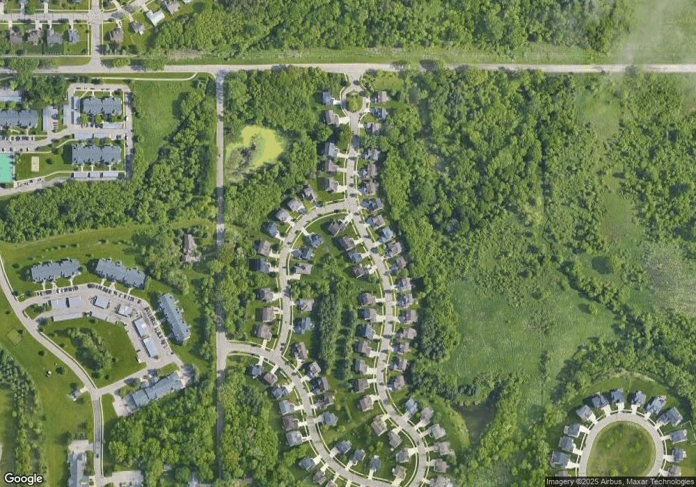
Map
Nearby Homes
- 1488 Silverstone Way
- 1171 Teakwood Cir
- 1830 Nemoke Trail
- 0 van Atta Rd
- 1563 W Pond Dr Unit 15
- 1571 W Pond Dr Unit 14
- 1555 W Pond Dr Unit 33
- 1555 W Pond Dr Unit 23
- 5684 Shaw St
- 5396 van Atta Rd
- 5384 van Atta Rd
- 2034 Central Park Dr
- 5828 Lake Dr
- 1815 Hamilton Rd
- 5837 Carlton St
- 4562 Dobie Rd
- 575 Piper Rd
- 1955 Bloomfield Dr
- 4562 Seneca Dr
- 5816 Beuna Pkwy
Your Personal Tour Guide
Ask me questions while you tour the home.