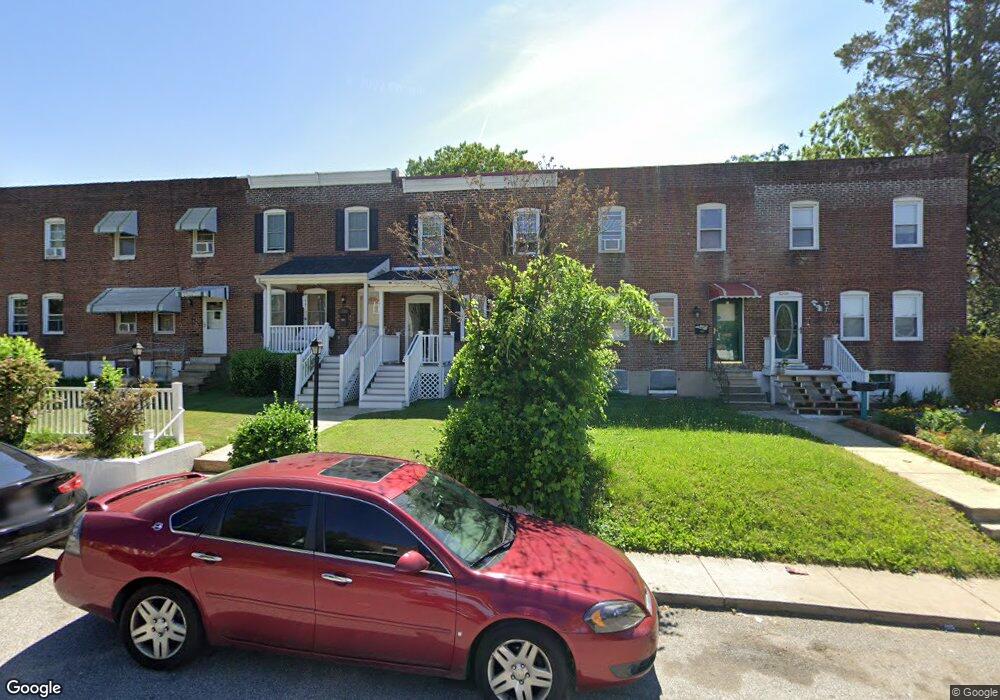
5204 Brookwood Rd Brooklyn, MD 21225
Estimated Value: $158,000 - $167,056
--
Bed
2
Baths
1,254
Sq Ft
$129/Sq Ft
Est. Value
About This Home
This home is located at 5204 Brookwood Rd, Brooklyn, MD 21225 and is currently estimated at $161,685, approximately $128 per square foot. 5204 Brookwood Rd is a home located in Anne Arundel County with nearby schools including Park Elementary School, Brooklyn Park Middle School, and North County High School.
Ownership History
Date
Name
Owned For
Owner Type
Purchase Details
Closed on
Oct 28, 2016
Sold by
West Loretta and Omohundro L0retta
Bought by
Arundel Community Development Serices In
Current Estimated Value
Purchase Details
Closed on
May 16, 1985
Bought by
Omohundro Mark L and Omohundro Loretta
Home Financials for this Owner
Home Financials are based on the most recent Mortgage that was taken out on this home.
Original Mortgage
$44,500
Interest Rate
13.02%
Create a Home Valuation Report for This Property
The Home Valuation Report is an in-depth analysis detailing your home's value as well as a comparison with similar homes in the area
Home Values in the Area
Average Home Value in this Area
Purchase History
| Date | Buyer | Sale Price | Title Company |
|---|---|---|---|
| Arundel Community Development Serices In | -- | None Available | |
| Omohundro Mark L | $44,500 | -- |
Source: Public Records
Mortgage History
| Date | Status | Borrower | Loan Amount |
|---|---|---|---|
| Previous Owner | Omohundro Mark L | $44,500 |
Source: Public Records
Tax History Compared to Growth
Tax History
| Year | Tax Paid | Tax Assessment Tax Assessment Total Assessment is a certain percentage of the fair market value that is determined by local assessors to be the total taxable value of land and additions on the property. | Land | Improvement |
|---|---|---|---|---|
| 2025 | $2,011 | $161,300 | $20,000 | $141,300 |
| 2024 | $2,011 | $143,167 | $0 | $0 |
| 2023 | $1,783 | $125,033 | $0 | $0 |
| 2022 | $1,494 | $106,900 | $20,000 | $86,900 |
| 2021 | $2,914 | $103,400 | $0 | $0 |
| 2020 | $1,379 | $99,900 | $0 | $0 |
| 2019 | $1,343 | $96,400 | $20,000 | $76,400 |
| 2018 | $967 | $95,367 | $0 | $0 |
| 2017 | $1,293 | $94,333 | $0 | $0 |
| 2016 | -- | $93,300 | $0 | $0 |
| 2015 | -- | $93,300 | $0 | $0 |
| 2014 | -- | $93,300 | $0 | $0 |
Source: Public Records
Map
Nearby Homes
- 5300 Brookwood Rd
- 5210 Brookwood Rd
- 5201 Brookwood Rd
- 458 Seward Ave
- 444 Seward Ave
- 25 Ballman Ct
- 5103 Ballman Ave
- 4931 Brookwood Rd
- 4952 Brookwood Rd
- 5101 Ballman Ave
- 4946 Brookwood Rd
- 5226 Patrick Henry Dr
- 5206 Patrick Henry Dr
- 5602 Ballman Ave
- 942 1st St
- 923 1st St
- 907 Victory Ave
- 915 1st St
- 221 Townsend Ave
- 912 1st St
- 5202 Brookwood Rd
- 5206 Brookwood Rd
- 5208 Brookwood Rd
- 5200 Brookwood Rd
- 5210 Brookwood Rd Unit 2
- 5210 Brookwood Rd
- 5212 Brookwood Rd
- 5130 Brookwood Rd
- 5214 Brookwood Rd
- 5128 Brookwood Rd
- 5216 Brookwood Rd
- 5126 Brookwood Rd
- 5218 Brookwood Rd
- 5124 Brookwood Rd
- 5220 Brookwood Rd
- 5122 Brookwood Rd
- 5222 Brookwood Rd
- 5222 Brookwood Rd Unit FIRST FLOOR
- 5120 Brookwood Rd
- 227 Southerly Rd