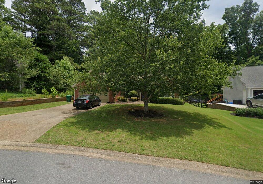
5204 Michaels Way Unit 1 Woodstock, GA 30188
Estimated Value: $415,000 - $438,879
3
Beds
2
Baths
1,890
Sq Ft
$226/Sq Ft
Est. Value
About This Home
This home is located at 5204 Michaels Way Unit 1, Woodstock, GA 30188 and is currently estimated at $426,940, approximately $225 per square foot. 5204 Michaels Way Unit 1 is a home located in Cherokee County with nearby schools including Arnold Mill Elementary School, Mill Creek Middle School, and River Ridge High School.
Ownership History
Date
Name
Owned For
Owner Type
Purchase Details
Closed on
May 26, 1993
Sold by
Robillard Richard B and Robillard Carol M
Bought by
Signoret Monica M
Current Estimated Value
Home Financials for this Owner
Home Financials are based on the most recent Mortgage that was taken out on this home.
Original Mortgage
$86,000
Interest Rate
7.45%
Create a Home Valuation Report for This Property
The Home Valuation Report is an in-depth analysis detailing your home's value as well as a comparison with similar homes in the area
Home Values in the Area
Average Home Value in this Area
Purchase History
| Date | Buyer | Sale Price | Title Company |
|---|---|---|---|
| Signoret Monica M | $107,500 | -- |
Source: Public Records
Mortgage History
| Date | Status | Borrower | Loan Amount |
|---|---|---|---|
| Closed | Signoret Monica M | $86,000 |
Source: Public Records
Tax History Compared to Growth
Tax History
| Year | Tax Paid | Tax Assessment Tax Assessment Total Assessment is a certain percentage of the fair market value that is determined by local assessors to be the total taxable value of land and additions on the property. | Land | Improvement |
|---|---|---|---|---|
| 2025 | $1,287 | $159,008 | $34,800 | $124,208 |
| 2024 | $4,103 | $157,888 | $34,800 | $123,088 |
| 2023 | $3,713 | $142,884 | $31,600 | $111,284 |
| 2022 | $3,367 | $128,120 | $28,800 | $99,320 |
| 2021 | $3,041 | $107,112 | $24,000 | $83,112 |
| 2020 | $2,674 | $94,108 | $17,600 | $76,508 |
| 2019 | $2,407 | $84,720 | $17,600 | $67,120 |
| 2018 | $2,199 | $76,920 | $17,600 | $59,320 |
| 2017 | $2,174 | $188,600 | $17,600 | $57,840 |
| 2016 | $2,072 | $177,900 | $16,800 | $54,360 |
| 2015 | $1,862 | $158,300 | $12,240 | $51,080 |
| 2014 | $1,750 | $148,500 | $12,240 | $47,160 |
Source: Public Records
Map
Nearby Homes
- 5202 Michaels Way Unit 1
- 5206 Michaels Way
- 1625 Willow Way
- 5200 Michaels Way
- 5208 Michaels Way
- 1623 Willow Way
- 1627 Willow Way
- 5124 Shotwell St
- 1629 Willow Way
- 5203 Michaels Way Unit II
- 5120 Shotwell St
- 1621 Willow Way
- 5210 Michaels Way Unit 2
- 0 Michaels Way Unit 3271194
- 1631 Willow Way
- 5205 Michaels Way
- 5113 Shotwell St
- 5118 Shotwell St
- 5212 Michaels Way
- 5115 Shotwell St Unit 1