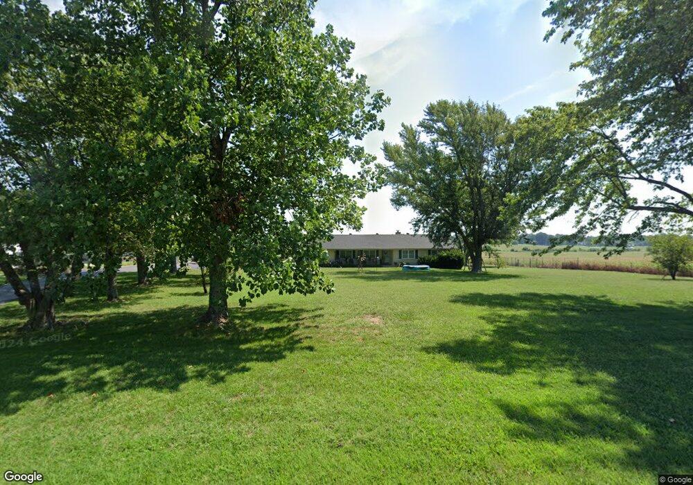
5204 S Farm Road 67 Republic, MO 65738
Estimated Value: $301,000 - $343,000
3
Beds
2
Baths
2,338
Sq Ft
$140/Sq Ft
Est. Value
About This Home
This home is located at 5204 S Farm Road 67, Republic, MO 65738 and is currently estimated at $327,768, approximately $140 per square foot. 5204 S Farm Road 67 is a home located in Greene County with nearby schools including Schofield Elementary School, Republic Middle School, and Republic High School.
Ownership History
Date
Name
Owned For
Owner Type
Purchase Details
Closed on
Dec 8, 2010
Sold by
Robinson Micheal C
Bought by
Lusby Craig and Lusby Cynthia
Current Estimated Value
Home Financials for this Owner
Home Financials are based on the most recent Mortgage that was taken out on this home.
Original Mortgage
$136,256
Outstanding Balance
$91,296
Interest Rate
4.5%
Mortgage Type
FHA
Estimated Equity
$236,472
Purchase Details
Closed on
Dec 3, 2010
Sold by
Robinson Tena Lea
Bought by
Robinson Michael C
Home Financials for this Owner
Home Financials are based on the most recent Mortgage that was taken out on this home.
Original Mortgage
$136,256
Outstanding Balance
$91,296
Interest Rate
4.5%
Mortgage Type
FHA
Estimated Equity
$236,472
Purchase Details
Closed on
Mar 24, 2006
Sold by
Robinson Michael C
Bought by
Carter Wayne M and Carter Shawna M
Home Financials for this Owner
Home Financials are based on the most recent Mortgage that was taken out on this home.
Original Mortgage
$68,000
Interest Rate
6.24%
Mortgage Type
Construction
Create a Home Valuation Report for This Property
The Home Valuation Report is an in-depth analysis detailing your home's value as well as a comparison with similar homes in the area
Home Values in the Area
Average Home Value in this Area
Purchase History
| Date | Buyer | Sale Price | Title Company |
|---|---|---|---|
| Lusby Craig | -- | None Available | |
| Robinson Michael C | -- | None Available | |
| Carter Wayne M | -- | None Available |
Source: Public Records
Mortgage History
| Date | Status | Borrower | Loan Amount |
|---|---|---|---|
| Open | Lusby Craig | $136,256 | |
| Closed | Robinson Michael C | $136,256 | |
| Previous Owner | Carter Wayne M | $68,000 |
Source: Public Records
Tax History Compared to Growth
Tax History
| Year | Tax Paid | Tax Assessment Tax Assessment Total Assessment is a certain percentage of the fair market value that is determined by local assessors to be the total taxable value of land and additions on the property. | Land | Improvement |
|---|---|---|---|---|
| 2025 | $1,504 | $31,830 | $5,510 | $26,320 |
| 2024 | $1,504 | $28,750 | $4,560 | $24,190 |
| 2023 | $1,473 | $28,750 | $4,560 | $24,190 |
| 2022 | $1,383 | $26,900 | $4,560 | $22,340 |
| 2021 | $1,383 | $26,900 | $4,560 | $22,340 |
| 2020 | $1,383 | $26,450 | $4,560 | $21,890 |
| 2019 | $1,377 | $26,450 | $4,560 | $21,890 |
| 2018 | $1,329 | $24,720 | $4,560 | $20,160 |
| 2017 | $1,319 | $24,570 | $4,560 | $20,010 |
| 2016 | $1,322 | $24,570 | $4,560 | $20,010 |
| 2015 | $1,321 | $24,570 | $4,560 | $20,010 |
| 2014 | $1,339 | $24,660 | $4,560 | $20,100 |
Source: Public Records
Map
Nearby Homes
- 1021 W Crestview Ln
- 000 W Crestview Ln
- 1135 W Broad St
- 5751 S Farm Road 67
- 473 S Michelle Ave
- Lot 23 The Woods
- 552 S Michelle Ave
- 573 S Charlotte Ct
- 135 N Bonnie Ave
- 511 S Concordia Ave
- 530 Ashley St
- 347 W Elm St
- 2450 Highway 60
- .94+/- Ac Highway 60
- 5024 S Farm Road 57
- 0 Highway 60 Unit 60308100
- 0 Highway 60 Unit 60308095
- 626 N Phelps Ave
- 520 N College Ave
- 532 N College Ave
- 5204 S Farm Road 67 Unit 67
- 5172 S Farm Road 67
- 5249 S Farm Road 67
- 5136 S Farm Road 67
- 5331 S Farm Road 67
- 10224 W Farm Road 178
- 5027 S Farm Road 67
- 10262 W Farm Road 178
- 10122 W Farm Road 178
- 10170 W Farm Road 178
- 1590 W State Highway 174
- 4977 S Farm Road 67
- Tbd W State Highway 174
- 10431 W Farm Road 178
- 10044 W Farm Road 178
- 000 S Farm Road 67
- Tbd S Farm Road 67
- 1325 W State Highway 174
- 10574 W State Highway 174
- 1037 W Meadowview Ln