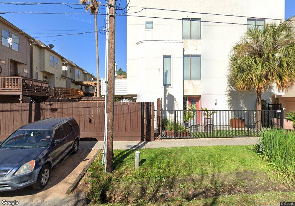
5205 Rose St Unit A Houston, TX 77007
Rice Military NeighborhoodEstimated Value: $430,000 - $478,000
3
Beds
4
Baths
2,021
Sq Ft
$224/Sq Ft
Est. Value
About This Home
This home is located at 5205 Rose St Unit A, Houston, TX 77007 and is currently estimated at $452,203, approximately $223 per square foot. 5205 Rose St Unit A is a home located in Harris County with nearby schools including Memorial Elementary School, Hogg Middle, and Lamar High School.
Ownership History
Date
Name
Owned For
Owner Type
Purchase Details
Closed on
Aug 27, 2004
Sold by
The Waterhill Companies Ltd
Bought by
Baker Suzanne R
Current Estimated Value
Home Financials for this Owner
Home Financials are based on the most recent Mortgage that was taken out on this home.
Original Mortgage
$188,000
Outstanding Balance
$94,380
Interest Rate
6.08%
Mortgage Type
Purchase Money Mortgage
Estimated Equity
$357,823
Create a Home Valuation Report for This Property
The Home Valuation Report is an in-depth analysis detailing your home's value as well as a comparison with similar homes in the area
Home Values in the Area
Average Home Value in this Area
Purchase History
| Date | Buyer | Sale Price | Title Company |
|---|---|---|---|
| Baker Suzanne R | -- | Chicago Title Insurance Co |
Source: Public Records
Mortgage History
| Date | Status | Borrower | Loan Amount |
|---|---|---|---|
| Open | Baker Suzanne R | $188,000 |
Source: Public Records
Tax History
| Year | Tax Paid | Tax Assessment Tax Assessment Total Assessment is a certain percentage of the fair market value that is determined by local assessors to be the total taxable value of land and additions on the property. | Land | Improvement |
|---|---|---|---|---|
| 2025 | $6,266 | $414,418 | $198,782 | $215,636 |
| 2024 | $6,266 | $425,503 | $177,857 | $247,646 |
| 2023 | $6,266 | $415,394 | $177,857 | $237,537 |
| 2022 | $9,072 | $412,000 | $177,857 | $234,143 |
| 2021 | $9,760 | $418,755 | $177,857 | $240,898 |
| 2020 | $9,943 | $410,609 | $177,857 | $232,752 |
| 2019 | $10,263 | $405,564 | $177,857 | $227,707 |
| 2018 | $7,644 | $390,567 | $125,546 | $265,021 |
| 2017 | $9,735 | $385,000 | $125,546 | $259,454 |
| 2016 | $9,735 | $385,000 | $125,546 | $259,454 |
| 2015 | $7,712 | $445,003 | $125,546 | $319,457 |
| 2014 | $7,712 | $415,727 | $125,546 | $290,181 |
Source: Public Records
Map
Nearby Homes
- 5213 Rose St
- 5212 Rose St Unit B
- 5203 Lillian St
- 821 Lester St
- 5313 Lillian St
- 5208 Blossom St Unit 5
- 926 Lester St
- 906 Reinerman St
- 802 Detering St
- 5105 Lillian St
- 5401 Floyd St
- 5306 Gibson St
- 516 Reinerman St
- 5407 Lillian St
- 5014 Lillian St
- 5404 Blossom St
- 405 Reinerman St
- 5443 Rose St
- 503 Detering St
- 906 Reinicke St
- 5205 Rose St Unit B
- 5205 Rose St
- 723 Reinerman St
- 707 Reinerman St
- 5207 Rose St Unit B
- 5207 Rose St
- 5203 Rose St Unit B
- 5203 Rose St Unit A
- 5203 Rose St
- 705 Reinerman St
- 721 Reinerman St
- 709 Reinerman St
- 5209 Rose St Unit B
- 5209 Rose St Unit A
- 5209 Rose St
- 711 Reinerman St
- 719 Reinerman St
- 5207B Rose St
- 725 Reinerman St
- 658 Lester St
Your Personal Tour Guide
Ask me questions while you tour the home.