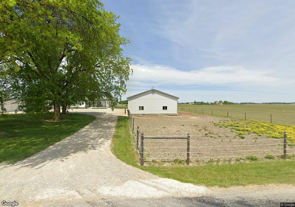
5205 W 100 N Decatur, IN 46733
Estimated Value: $389,000 - $741,000
6
Beds
2
Baths
4,032
Sq Ft
$131/Sq Ft
Est. Value
About This Home
This home is located at 5205 W 100 N, Decatur, IN 46733 and is currently estimated at $529,762, approximately $131 per square foot. 5205 W 100 N is a home located in Adams County with nearby schools including Adams Central Elementary School, Adams Central Middle School, and Adams Central High School.
Ownership History
Date
Name
Owned For
Owner Type
Purchase Details
Closed on
Oct 4, 2013
Sold by
Ringger Gary K and Ringger Rosetta K
Bought by
Wickey Jacob J and Wickey Rosanna E
Current Estimated Value
Home Financials for this Owner
Home Financials are based on the most recent Mortgage that was taken out on this home.
Original Mortgage
$144,000
Outstanding Balance
$93,757
Interest Rate
4.3%
Mortgage Type
Adjustable Rate Mortgage/ARM
Estimated Equity
$436,005
Create a Home Valuation Report for This Property
The Home Valuation Report is an in-depth analysis detailing your home's value as well as a comparison with similar homes in the area
Home Values in the Area
Average Home Value in this Area
Purchase History
| Date | Buyer | Sale Price | Title Company |
|---|---|---|---|
| Wickey Jacob J | -- | None Available |
Source: Public Records
Mortgage History
| Date | Status | Borrower | Loan Amount |
|---|---|---|---|
| Open | Wickey Jacob J | $144,000 |
Source: Public Records
Tax History Compared to Growth
Tax History
| Year | Tax Paid | Tax Assessment Tax Assessment Total Assessment is a certain percentage of the fair market value that is determined by local assessors to be the total taxable value of land and additions on the property. | Land | Improvement |
|---|---|---|---|---|
| 2024 | $3,868 | $446,100 | $40,400 | $405,700 |
| 2023 | $3,523 | $381,700 | $28,100 | $353,600 |
| 2022 | $3,109 | $354,300 | $27,400 | $326,900 |
| 2021 | $4,492 | $407,500 | $35,000 | $372,500 |
| 2020 | $1,342 | $157,100 | $24,000 | $133,100 |
| 2019 | $1,269 | $157,100 | $24,500 | $132,600 |
| 2018 | $1,255 | $153,500 | $24,600 | $128,900 |
| 2017 | $1,254 | $150,400 | $23,000 | $127,400 |
| 2016 | $967 | $145,800 | $23,200 | $122,600 |
| 2014 | $1,004 | $144,600 | $28,400 | $116,200 |
| 2013 | $1,279 | $158,100 | $28,400 | $129,700 |
Source: Public Records
Map
Nearby Homes
- 3260 N 200 W
- 5020 N 400 W
- 222 W Andrews St
- 210 W Walnut St
- 6010 N 600 W
- 138 E Washington St
- 3803 U S 224
- 102 S Van Buren St
- 101 S Van Buren St
- 1851 N High Pointe Ct
- 1759 Granger Ln
- 1765 Granger Ln
- 1779 Granger Ln
- 1773 Granger Ln
- 3959 U S 27
- 665 Dobby Ct
- 649 Hagrid Blvd
- 0 E Woodstone Ln
- 660 Malfoy Ct
- 610 Malfoy Ct