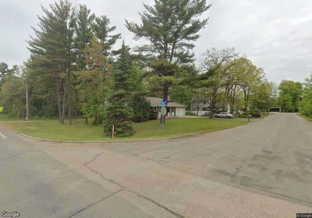
5206 Forest Cir Stevens Point, WI 54481
Estimated Value: $276,000 - $302,666
3
Beds
2
Baths
--
Sq Ft
19,820
Sq Ft Lot
About This Home
This home is located at 5206 Forest Cir, Stevens Point, WI 54481 and is currently estimated at $287,167. 5206 Forest Cir is a home with nearby schools including McKinley Center, Benjamin Franklin Junior High School, and Stevens Point Area Senior High School.
Ownership History
Date
Name
Owned For
Owner Type
Purchase Details
Closed on
Dec 12, 2025
Sold by
Glazer Cheryl Ann and Baumhofer Katherine Mary
Bought by
Pfeiffer Matthew D and Pfeiffer Cheri L
Current Estimated Value
Home Financials for this Owner
Home Financials are based on the most recent Mortgage that was taken out on this home.
Original Mortgage
$222,000
Outstanding Balance
$219,933
Interest Rate
6.22%
Mortgage Type
New Conventional
Estimated Equity
$67,234
Create a Home Valuation Report for This Property
The Home Valuation Report is an in-depth analysis detailing your home's value as well as a comparison with similar homes in the area
Home Values in the Area
Average Home Value in this Area
Purchase History
| Date | Buyer | Sale Price | Title Company |
|---|---|---|---|
| Pfeiffer Matthew D | $277,500 | Point Title |
Source: Public Records
Mortgage History
| Date | Status | Borrower | Loan Amount |
|---|---|---|---|
| Open | Pfeiffer Matthew D | $222,000 |
Source: Public Records
Tax History
| Year | Tax Paid | Tax Assessment Tax Assessment Total Assessment is a certain percentage of the fair market value that is determined by local assessors to be the total taxable value of land and additions on the property. | Land | Improvement |
|---|---|---|---|---|
| 2025 | -- | $219,400 | $32,500 | $186,900 |
| 2024 | -- | $219,400 | $32,500 | $186,900 |
| 2023 | $0 | $219,400 | $32,500 | $186,900 |
| 2022 | $3,568 | $147,300 | $25,300 | $122,000 |
| 2021 | $3,449 | $147,300 | $25,300 | $122,000 |
| 2020 | $3,485 | $147,300 | $25,300 | $122,000 |
| 2019 | $3,433 | $147,300 | $25,300 | $122,000 |
| 2018 | $3,219 | $147,300 | $25,300 | $122,000 |
| 2017 | $3,133 | $147,300 | $25,300 | $122,000 |
| 2016 | $2,735 | $116,100 | $20,600 | $95,500 |
| 2015 | $2,766 | $116,100 | $20,600 | $95,500 |
| 2014 | $2,691 | $116,100 | $20,600 | $95,500 |
Source: Public Records
Map
Nearby Homes
- 2825 Leahy Ave
- 262 White Oak Ave
- 36.20 Acres Brentwood Dr
- 10 Acres Brentwood Dr
- 3350 Bonnie Bay Rd
- Lot 66 Glenwood Ave
- 600 7th St
- 3325 Della St
- 2619 Sunset Blvd
- 44.59 Acres Brilowski Rd
- 840 Ramble Ln
- 703 Greenbriar Ave
- 2200 Post Rd
- 66.81 Acres Porter Dr
- 5570 Applewood Ct
- 1528 Treder Ave
- 1011 Melody Ln
- 0 County Road R Unit 22203659
- 2710 Porter Rd
- 1031-1033 Fred's Ct
- 5220 Forest Cir
- 3258 Tulip Ln
- 5207 Forest Cir
- 4808 Nicolet Ave
- 3301 Glacier Dr
- 3248 Tulip Ln
- 3241 Hoover Rd
- 3271 Tulip Ln
- 3259 Tulip Ln
- 5232 Forest Cir
- 4800 Nicolet Ave
- 3291 Hoover Rd
- 3309 Glacier Dr
- 5229 Forest Cir
- 5203 Howard Ave
- 3243 Tulip Ln
- 5133 Ranchland Cir
- 5219 Howard Ave
- 3317 Glacier Dr
- 4717 Nicolet Ave
Your Personal Tour Guide
Ask me questions while you tour the home.