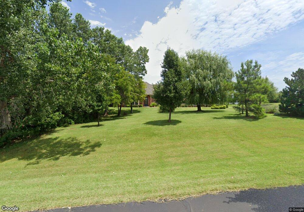
5206 Pheasant Crest Rd Edmond, OK 73034
East Edmond NeighborhoodEstimated Value: $512,000 - $617,000
3
Beds
3
Baths
2,647
Sq Ft
$216/Sq Ft
Est. Value
About This Home
This home is located at 5206 Pheasant Crest Rd, Edmond, OK 73034 and is currently estimated at $571,130, approximately $215 per square foot. 5206 Pheasant Crest Rd is a home located in Oklahoma County with nearby schools including Centennial Elementary School, Central Middle School, and Memorial High School.
Ownership History
Date
Name
Owned For
Owner Type
Purchase Details
Closed on
Dec 12, 2013
Sold by
Mason William M and Mason Patsy A
Bought by
Mason William M and Mason Patsy A
Current Estimated Value
Purchase Details
Closed on
Oct 7, 2008
Sold by
Allen Barry Arnold and Allen Jackie N
Bought by
The Roy F Bolding & Janice G Bolding Rev
Purchase Details
Closed on
Dec 9, 2005
Sold by
K & L Homes Llc
Bought by
Allen Barry Arnold and Allen Jackie N
Home Financials for this Owner
Home Financials are based on the most recent Mortgage that was taken out on this home.
Original Mortgage
$239,920
Interest Rate
6.3%
Mortgage Type
Fannie Mae Freddie Mac
Purchase Details
Closed on
Oct 15, 2004
Sold by
Pheasant Pointe Development Llc
Bought by
K&L Homes Llc
Create a Home Valuation Report for This Property
The Home Valuation Report is an in-depth analysis detailing your home's value as well as a comparison with similar homes in the area
Home Values in the Area
Average Home Value in this Area
Purchase History
| Date | Buyer | Sale Price | Title Company |
|---|---|---|---|
| Mason William M | -- | None Available | |
| The Roy F Bolding & Janice G Bolding Rev | $324,000 | The Oklahoma City Abstract & | |
| Allen Barry Arnold | $300,000 | Oklahoma City Abstract & Tit | |
| K&L Homes Llc | $39,000 | Oklahoma City Abstract & Tit |
Source: Public Records
Mortgage History
| Date | Status | Borrower | Loan Amount |
|---|---|---|---|
| Previous Owner | Allen Barry Arnold | $239,920 |
Source: Public Records
Tax History
| Year | Tax Paid | Tax Assessment Tax Assessment Total Assessment is a certain percentage of the fair market value that is determined by local assessors to be the total taxable value of land and additions on the property. | Land | Improvement |
|---|---|---|---|---|
| 2025 | $5,906 | $59,047 | $9,537 | $49,510 |
| 2023 | $5,583 | $53,558 | $6,996 | $46,562 |
| 2022 | $5,337 | $51,007 | $7,460 | $43,547 |
| 2021 | $5,060 | $48,579 | $8,144 | $40,435 |
| 2020 | $4,877 | $46,266 | $7,756 | $38,510 |
| 2019 | $4,667 | $44,063 | $7,217 | $36,846 |
| 2018 | $4,471 | $41,965 | $0 | $0 |
| 2017 | $4,503 | $42,459 | $7,423 | $35,036 |
| 2016 | $4,500 | $42,514 | $7,423 | $35,091 |
| 2015 | $4,498 | $42,554 | $6,581 | $35,973 |
| 2014 | $4,001 | $37,900 | $6,581 | $31,319 |
Source: Public Records
Map
Nearby Homes
- 7941 E Sorghum Mill Rd
- 5216 Bing Cir
- 5225 Skylar Rae Rd
- 8416 Rainier St
- 5333 Lannister Ln
- 4917 Highgarden Ave
- 4601 Maple Ridge Dr
- 4541 Maple Ridge Dr
- 4600 Maple Ridge Dr
- 4549 Maple Ridge Dr
- 4625 Maple Ridge Dr
- 8624 Snow Ct
- 4528 Maple Ridge Dr
- 8301 Grass Creek Dr
- 8708 Snow Ct
- 8801 Spruce St
- 5001 Braavos Way
- 391 Old Creek Rd
- 8749 Spruce St
- 8001 Amber Ridge Dr
- 5207 Pheasant Crest Rd
- 8141 Quail Roost Dr
- 8028 Quail Roost Dr
- 5318 Pheasant Crest Rd
- 5319 Pheasant Crest Rd
- 5143 Pheasant Crest Rd
- 8140 Quail Roost Dr
- 8200 E Sorghum Mill Rd
- 8207 Quail Roost Dr
- 5252 Pheasant Pointe Dr
- 5430 Pheasant Crest Rd
- 5208 Pheasant Pointe Dr
- 5304 Pheasant Pointe Dr
- 5431 Pheasant Crest Rd
- 7916 Dove Crossing Dr
- 5124 Brittany Paige Dr
- 5241 White Gold Ave
- 5233 White Gold Ave
- 5225 Whitegold Ave
- 8209 Lambert Way
Your Personal Tour Guide
Ask me questions while you tour the home.