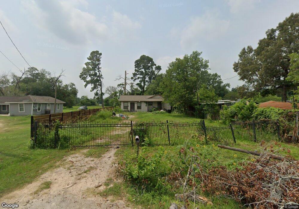
5206 Polly St Houston, TX 77016
East Little York NeighborhoodEstimated Value: $128,492 - $186,000
3
Beds
1
Bath
1,040
Sq Ft
$158/Sq Ft
Est. Value
About This Home
This home is located at 5206 Polly St, Houston, TX 77016 and is currently estimated at $164,373, approximately $158 per square foot. 5206 Polly St is a home located in Harris County with nearby schools including Shadydale Elementary School, Forest Brook Middle, and North Forest High School.
Ownership History
Date
Name
Owned For
Owner Type
Purchase Details
Closed on
Sep 3, 2004
Sold by
Ross Barry Douglas and Ross Barbara
Bought by
Black John D
Current Estimated Value
Home Financials for this Owner
Home Financials are based on the most recent Mortgage that was taken out on this home.
Original Mortgage
$43,500
Outstanding Balance
$21,680
Interest Rate
5.97%
Mortgage Type
Purchase Money Mortgage
Estimated Equity
$142,693
Create a Home Valuation Report for This Property
The Home Valuation Report is an in-depth analysis detailing your home's value as well as a comparison with similar homes in the area
Home Values in the Area
Average Home Value in this Area
Purchase History
| Date | Buyer | Sale Price | Title Company |
|---|---|---|---|
| Black John D | -- | Vanguard Title Co Of Texas |
Source: Public Records
Mortgage History
| Date | Status | Borrower | Loan Amount |
|---|---|---|---|
| Open | Black John D | $43,500 |
Source: Public Records
Tax History Compared to Growth
Tax History
| Year | Tax Paid | Tax Assessment Tax Assessment Total Assessment is a certain percentage of the fair market value that is determined by local assessors to be the total taxable value of land and additions on the property. | Land | Improvement |
|---|---|---|---|---|
| 2025 | $1,058 | $103,455 | $56,924 | $46,531 |
| 2024 | $1,058 | $94,360 | $49,579 | $44,781 |
| 2023 | $1,058 | $83,902 | $31,216 | $52,686 |
| 2022 | $1,051 | $73,382 | $31,216 | $42,166 |
| 2021 | $1,011 | $64,171 | $22,035 | $42,136 |
| 2020 | $955 | $54,172 | $22,035 | $32,137 |
| 2019 | $907 | $44,566 | $15,425 | $29,141 |
| 2018 | $0 | $36,977 | $12,854 | $24,123 |
| 2017 | $749 | $36,977 | $12,854 | $24,123 |
| 2016 | $681 | $26,943 | $7,712 | $19,231 |
| 2015 | $375 | $26,943 | $7,712 | $19,231 |
| 2014 | $375 | $26,943 | $7,712 | $19,231 |
Source: Public Records
Map
Nearby Homes
- 5203 Mayle St
- 5125 Mayle St
- 9705 Peachtree St
- 5713 Rietta St
- 5715 Rietta St
- 4708 Antha St
- 5914 Breland St
- 5418 Parker Rd
- 9421 Sandra St
- 7902 S Lockwood Dr
- 9711 Bertwood St
- 4606 Tidwell Rd
- 7631 Hirsch Rd
- 9603 Bertwood St
- 9325 Grady St
- 9410 Dandy St
- 5621 Haywood St
- 4514 Wyte Ln
- 4917 Tronewood St
- 0 Haywood St Unit 63273227
- 5210 Polly St
- 5202 Polly St
- 9820 Peachtree St
- 0 TBD Polly St
- 0 TBD Polly St St
- 9818 Peachtree St
- 5205 Polly St
- 5213 Polly St
- 5113 Senior St
- 5109 Senior St
- 9814 Peachtree St
- 5210 Mayle St
- 5206 Mayle St
- 5202 Mayle St
- 9901 Peachtree St Unit 6B
- 5214 Mayle St
- 5214 Mayle St Unit B
- 5214 Mayle St Unit A
- 5105 Senior St
- 5208 Mayle St