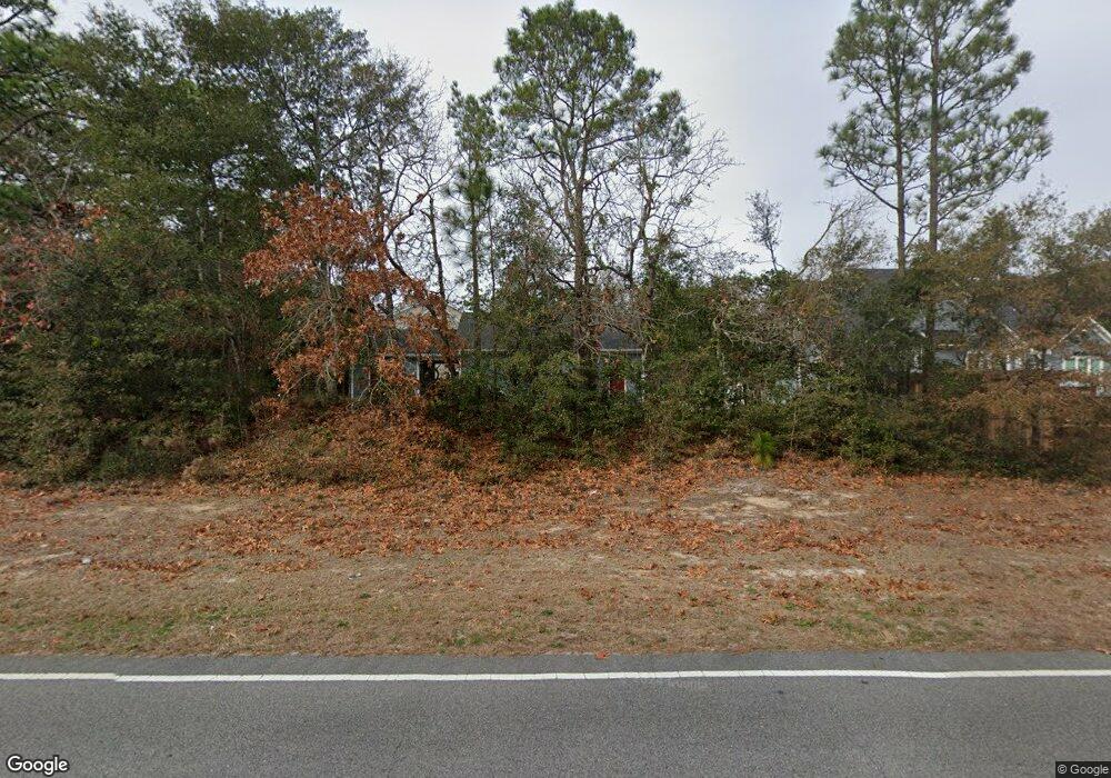
5207 White Ibis Ct Southport, NC 28461
Estimated Value: $798,000 - $987,000
4
Beds
3
Baths
3,113
Sq Ft
$291/Sq Ft
Est. Value
About This Home
This home is located at 5207 White Ibis Ct, Southport, NC 28461 and is currently estimated at $904,995, approximately $290 per square foot. 5207 White Ibis Ct is a home located in Brunswick County with nearby schools including Southport Elementary School, South Brunswick Middle School, and South Brunswick High School.
Ownership History
Date
Name
Owned For
Owner Type
Purchase Details
Closed on
Jan 25, 2021
Sold by
Julian Marho N
Bought by
Julian Marho N and Julian Sandra G
Current Estimated Value
Purchase Details
Closed on
Jun 30, 2016
Sold by
Nguyen Lam
Bought by
Julian Marlo N
Purchase Details
Closed on
May 31, 2012
Sold by
Branch Banking & Trust Company
Bought by
Nguyen Lam
Purchase Details
Closed on
Aug 18, 2010
Sold by
Robinson Julie E and Robinson Stephen H
Bought by
Branch Banking & Trust Company
Create a Home Valuation Report for This Property
The Home Valuation Report is an in-depth analysis detailing your home's value as well as a comparison with similar homes in the area
Home Values in the Area
Average Home Value in this Area
Purchase History
| Date | Buyer | Sale Price | Title Company |
|---|---|---|---|
| Julian Marho N | -- | None Listed On Document | |
| Julian Marlo N | -- | None Available | |
| Nguyen Lam | $11,500 | None Available | |
| Branch Banking & Trust Company | $82,400 | None Available |
Source: Public Records
Tax History Compared to Growth
Tax History
| Year | Tax Paid | Tax Assessment Tax Assessment Total Assessment is a certain percentage of the fair market value that is determined by local assessors to be the total taxable value of land and additions on the property. | Land | Improvement |
|---|---|---|---|---|
| 2025 | $5,548 | $715,070 | $100,000 | $615,070 |
| 2024 | $5,548 | $715,070 | $100,000 | $615,070 |
| 2023 | $5,817 | $715,070 | $100,000 | $615,070 |
| 2022 | $5,817 | $566,670 | $60,000 | $506,670 |
| 2021 | $0 | $518,830 | $60,000 | $458,830 |
| 2020 | $506 | $342,740 | $60,000 | $282,740 |
| 2019 | $506 | $60,000 | $60,000 | $0 |
| 2018 | $547 | $65,000 | $65,000 | $0 |
| 2017 | $546 | $65,000 | $65,000 | $0 |
| 2016 | $511 | $65,000 | $65,000 | $0 |
| 2015 | $511 | $65,000 | $65,000 | $0 |
| 2014 | $931 | $126,500 | $126,500 | $0 |
Source: Public Records
Map
Nearby Homes
- 5147 Fernwood Dr
- 5122 Prices Creek Dr
- 5138 Fernwood Dr
- 5122 Fernwood Dr
- 5988 Gray Squirrel Path
- 1.12 Ac Jabbertown Rd
- 5975 Gray Squirrel Path
- 136 Park Ave
- 1014 Softwind Way
- 2035 Oakton Dr Unit 9
- 1010 Softwind Way
- 131 Stuart Ave Unit 42
- 131 Stuart Ave
- 1015 E Moore St
- 1003 Softwind Way
- 2071 Rosin Dr Unit 19
- 2079 Rosin Dr
- 2079 Rosin Dr Unit 17
- 305 Fire Fly SE
- 1012 E Moore St
- 5205 White Ibis Ct
- 0 E Moore St
- 524 E Moore St
- 3 E Moore St
- 1203 E Moore St
- 1.08 Acres E Moore St
- 5210 White Ibis Ct
- 5203 White Ibis Ct
- 1379 E Moore St
- Lot 78 White Ibis Ct
- 0 White Ibis Ct
- 5204 White Ibis Ct
- 5208 White Ibis Ct
- 5201 White Ibis Ct
- 000 Jabbertown Rd
- 6106 Harbor Oaks Dr
- 6104 Harbor Oaks Dr
- 5114 Prices Creek Dr
- 6102 Harbor Oaks Dr
- 6108 60 Harbor Oaks Dr