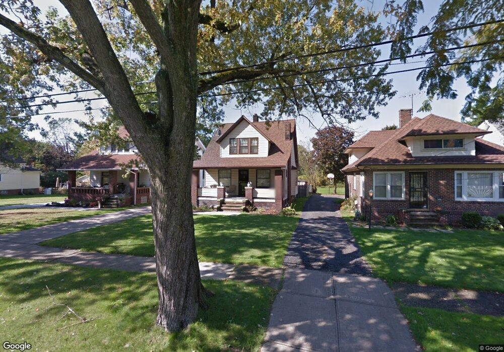
5208 Anthony St Maple Heights, OH 44137
Estimated Value: $146,669 - $170,000
3
Beds
1
Bath
1,929
Sq Ft
$81/Sq Ft
Est. Value
About This Home
This home is located at 5208 Anthony St, Maple Heights, OH 44137 and is currently estimated at $155,417, approximately $80 per square foot. 5208 Anthony St is a home located in Cuyahoga County with nearby schools including Abraham Lincoln Elementary School, Rockside/ J.F. Kennedy School, and Barack Obama School.
Ownership History
Date
Name
Owned For
Owner Type
Purchase Details
Closed on
Oct 24, 1997
Sold by
Kocmit Otto M
Bought by
Gordon Michael V
Current Estimated Value
Home Financials for this Owner
Home Financials are based on the most recent Mortgage that was taken out on this home.
Original Mortgage
$79,550
Outstanding Balance
$13,005
Interest Rate
7.65%
Mortgage Type
FHA
Estimated Equity
$142,412
Purchase Details
Closed on
Aug 16, 1991
Sold by
Kocmit Otto M
Bought by
Kocmit Otto M
Purchase Details
Closed on
Oct 19, 1984
Sold by
Kocmit Otto M and Kocmit Ann
Bought by
Kocmit Otto M
Purchase Details
Closed on
Jan 1, 1975
Bought by
Kocmit Otto M and Kocmit Ann
Create a Home Valuation Report for This Property
The Home Valuation Report is an in-depth analysis detailing your home's value as well as a comparison with similar homes in the area
Home Values in the Area
Average Home Value in this Area
Purchase History
| Date | Buyer | Sale Price | Title Company |
|---|---|---|---|
| Gordon Michael V | $79,600 | -- | |
| Kocmit Otto M | -- | -- | |
| Kocmit Otto M | -- | -- | |
| Kocmit Otto M | -- | -- |
Source: Public Records
Mortgage History
| Date | Status | Borrower | Loan Amount |
|---|---|---|---|
| Open | Gordon Michael V | $79,550 |
Source: Public Records
Tax History
| Year | Tax Paid | Tax Assessment Tax Assessment Total Assessment is a certain percentage of the fair market value that is determined by local assessors to be the total taxable value of land and additions on the property. | Land | Improvement |
|---|---|---|---|---|
| 2024 | $3,895 | $42,910 | $9,100 | $33,810 |
| 2023 | $2,926 | $27,510 | $5,600 | $21,910 |
| 2022 | $2,916 | $27,510 | $5,600 | $21,910 |
| 2021 | $3,116 | $27,510 | $5,600 | $21,910 |
| 2020 | $2,648 | $20,830 | $4,240 | $16,590 |
| 2019 | $2,636 | $59,500 | $12,100 | $47,400 |
| 2018 | $2,548 | $20,830 | $4,240 | $16,590 |
| 2017 | $2,507 | $19,320 | $4,550 | $14,770 |
| 2016 | $2,426 | $19,320 | $4,550 | $14,770 |
| 2015 | $2,900 | $19,320 | $4,550 | $14,770 |
| 2014 | $2,900 | $25,770 | $6,060 | $19,710 |
Source: Public Records
Map
Nearby Homes
- 5204 Anthony St
- 5210 Theodore St
- 5212 Catherine St
- 5246 Philip Ave
- 5231 Philip Ave
- 16907 Maple Heights Blvd
- 5082 Philip Ave
- 5062 Lee Rd
- 16174 Friend Ave
- 17282 Mccracken Rd
- 17005 Mapleboro Ave
- 5177 Cato St
- 5382 Lee Rd Unit 102
- 5382 Lee Rd Unit 204
- 5382 Lee Rd Unit 202
- 5150 Arch St
- 17914 Libby Rd
- 5370 Lee Rd Unit 302
- 17409 Mapleboro Ave
- 5239 Arch St
- 5214 Anthony St
- 5206 Anthony St
- 5188 Anthony St
- 5220 Anthony St
- 5182 Anthony St
- 5228 Anthony St
- 5211 Anthony St
- 5207 Anthony St
- 5217 Anthony St
- 5201 Anthony St
- 5221 Anthony St
- 5232 Anthony St
- 5178 Anthony St
- 5225 Anthony St
- 5229 Anthony St
- 5181 Anthony St
- 5172 Anthony St
- 5236 Anthony St
- 5177 Anthony St
- 5231 Anthony St
Your Personal Tour Guide
Ask me questions while you tour the home.