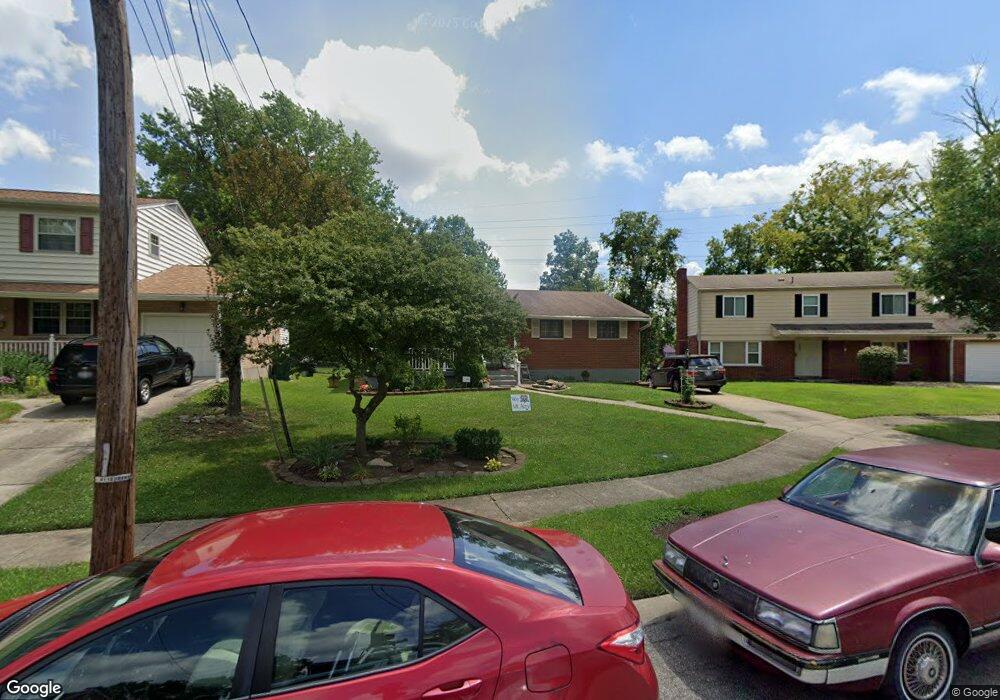
5208 Horizonvue Dr Cincinnati, OH 45239
Mount Airy NeighborhoodEstimated Value: $252,000 - $274,000
3
Beds
3
Baths
1,247
Sq Ft
$210/Sq Ft
Est. Value
About This Home
This home is located at 5208 Horizonvue Dr, Cincinnati, OH 45239 and is currently estimated at $262,286, approximately $210 per square foot. 5208 Horizonvue Dr is a home located in Hamilton County with nearby schools including Mt. Airy Elementary School, Western Hills High School, and Gilbert A. Dater High School.
Ownership History
Date
Name
Owned For
Owner Type
Purchase Details
Closed on
Jun 7, 2002
Sold by
Shriver Michael B and Shriver Kristie L
Bought by
Herring Howard and Herring Annie Ruth
Current Estimated Value
Home Financials for this Owner
Home Financials are based on the most recent Mortgage that was taken out on this home.
Original Mortgage
$134,900
Outstanding Balance
$55,787
Interest Rate
6.5%
Estimated Equity
$206,499
Create a Home Valuation Report for This Property
The Home Valuation Report is an in-depth analysis detailing your home's value as well as a comparison with similar homes in the area
Home Values in the Area
Average Home Value in this Area
Purchase History
| Date | Buyer | Sale Price | Title Company |
|---|---|---|---|
| Herring Howard | $134,900 | Tri Star Title |
Source: Public Records
Mortgage History
| Date | Status | Borrower | Loan Amount |
|---|---|---|---|
| Open | Herring Howard | $134,900 |
Source: Public Records
Tax History Compared to Growth
Tax History
| Year | Tax Paid | Tax Assessment Tax Assessment Total Assessment is a certain percentage of the fair market value that is determined by local assessors to be the total taxable value of land and additions on the property. | Land | Improvement |
|---|---|---|---|---|
| 2024 | $2,881 | $58,185 | $9,573 | $48,612 |
| 2023 | $2,998 | $58,185 | $9,573 | $48,612 |
| 2022 | $1,587 | $31,935 | $7,900 | $24,035 |
| 2021 | $1,511 | $31,935 | $7,900 | $24,035 |
| 2020 | $1,571 | $31,935 | $7,900 | $24,035 |
| 2019 | $1,388 | $27,531 | $6,811 | $20,720 |
| 2018 | $1,391 | $27,531 | $6,811 | $20,720 |
| 2017 | $1,313 | $27,531 | $6,811 | $20,720 |
| 2016 | $1,883 | $35,400 | $7,445 | $27,955 |
| 2015 | $1,705 | $35,400 | $7,445 | $27,955 |
| 2014 | $1,718 | $35,400 | $7,445 | $27,955 |
| 2013 | $1,950 | $38,479 | $8,092 | $30,387 |
Source: Public Records
Map
Nearby Homes
- 2730 Bristol Hill Ct
- 5306 Fox Rd
- 4771 Shepherd Creek Rd
- 2969 Orchardtree Ct
- 5350 Orchardcreek Ct
- 5277 Orchardridge Ct
- 2773 W North Bend Rd
- 2949 N Bend Rd
- 2601 Kathleen Ct
- 5360 Colerain Ave
- 3076 Hoock Ct
- 3072 N Bend Rd
- 5587 Vogel Rd
- 0 Samver Rd Unit 1841558
- 5607 Leumas Dr
- 5618 Leumas Rd
- 5610 Samver Rd
- 0 N Bend Rd
- 5607 Samver Rd
- 5523 Kirby Ave
- 5212 Horizonvue Dr
- 5204 Horizonvue Dr
- 2739 Bristol Hill Ct
- 2745 Bristol Hill Ct
- 2751 Bristol Hill Ct
- 5209 Horizonvue Dr
- 5200 Horizonvue Dr
- 5213 Horizonvue Dr
- 5201 Horizonvue Dr
- 5205 Horizonvue Dr
- 2735 Bristol Hill Ct
- 5217 Horizonvue Dr
- 5221 Horizonvue Dr
- 5226 Horizonvue Dr
- 2746 Bristol Hill Ct
- 2742 Bristol Hill Ct
- 2738 Bristol Hill Ct
- 2734 Bristol Hill Ct
- 5227 Horizonvue Dr
- 5230 Horizonvue Dr