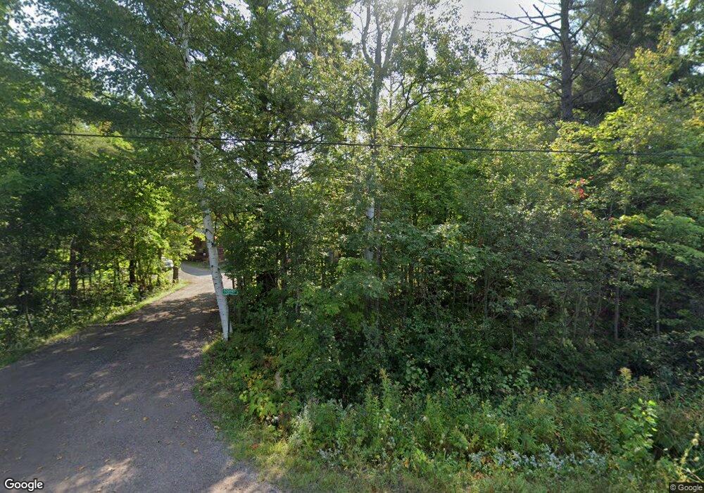
52082 Boston Rd Hancock, MI 49930
Estimated Value: $227,963 - $391,000
--
Bed
--
Bath
880
Sq Ft
$352/Sq Ft
Est. Value
About This Home
This home is located at 52082 Boston Rd, Hancock, MI 49930 and is currently estimated at $309,482, approximately $351 per square foot. 52082 Boston Rd is a home with nearby schools including Barkell Elementary School, Hancock Middle/High School, and Copper Island Academy.
Ownership History
Date
Name
Owned For
Owner Type
Purchase Details
Closed on
Apr 15, 2022
Sold by
Putman Gregory A and Putman Lindsay I
Bought by
Sebbas John J
Current Estimated Value
Purchase Details
Closed on
Jul 16, 2021
Sold by
Putman Gregory A A and Putman Lindsay I
Bought by
Sebbas John J and Sebbas Jennifer J
Purchase Details
Closed on
Jul 7, 2020
Sold by
Rapson Harold A
Bought by
Putman Gregory A
Purchase Details
Closed on
Jun 4, 2019
Sold by
Hart Roger L and Hart Betty L
Bought by
Rapson Harold A
Create a Home Valuation Report for This Property
The Home Valuation Report is an in-depth analysis detailing your home's value as well as a comparison with similar homes in the area
Home Values in the Area
Average Home Value in this Area
Purchase History
| Date | Buyer | Sale Price | Title Company |
|---|---|---|---|
| Sebbas John J | $60,000 | -- | |
| Sebbas John J | $60,000 | -- | |
| Putman Gregory A | $11,000 | Transnation Title Agency | |
| Rapson Harold A | $3,050 | Attorney Only |
Source: Public Records
Tax History Compared to Growth
Tax History
| Year | Tax Paid | Tax Assessment Tax Assessment Total Assessment is a certain percentage of the fair market value that is determined by local assessors to be the total taxable value of land and additions on the property. | Land | Improvement |
|---|---|---|---|---|
| 2025 | $3,648 | $116,296 | $0 | $0 |
| 2024 | $900 | $86,975 | $0 | $0 |
| 2023 | $385 | $34,051 | $0 | $0 |
| 2022 | $1,591 | $29,737 | $0 | $0 |
| 2021 | $693 | $12,973 | $0 | $0 |
| 2020 | $616 | $10,750 | $0 | $0 |
| 2019 | $342 | $6,200 | $0 | $0 |
| 2018 | $343 | $6,200 | $0 | $0 |
| 2017 | $327 | $6,200 | $0 | $0 |
| 2016 | -- | $6,000 | $0 | $0 |
| 2015 | -- | $6,000 | $0 | $0 |
| 2014 | -- | $5,789 | $0 | $0 |
Source: Public Records
Map
Nearby Homes
- TBD F Boston Rd
- TBD B Gorton Rd
- Lot 1 Airport Rd Unit Co Rd 35B
- TBD Lake Annie Cross Cut Rd
- tbd M203
- 50739 5th St
- TBD Oikarinen Rd
- 49962 Rosenlund Rd
- TBD5 Dolomite Dr
- TBD6 Dolomite Dr
- TBD8 Dolomite Dr
- TBD4 Dolomite Dr
- TBD2 Dolomite Dr
- TBD16 Dolomite Dr
- TBD14 Dolomite Dr
- TBD7 Dolomite Dr
- TBD15 Dolomite Dr
- TBD3 Dolomite Dr
- TBD1 Dolomite Dr
- TBD13 Dolomite Dr
- TBD F Boston Rd
- 52094 Boston Rd
- 51970 Boston Rd
- 51950 Boston Rd
- 21610 1st St
- 51949 Boston Rd
- 21664 1st St
- 21671 1st St
- 21581 1st St
- 21581 1st St
- 51854 Boston Rd
- 51818 Boston Rd
- 21880 1st St
- 22010 1st St
- 51855 Boston Rd
- 52540 Boston Rd
- TBD Boston Rd
- 0 Boston Rd Unit 1103533
- 0 Boston Rd Unit 10059257
- 52410 Wirtanen Rd
