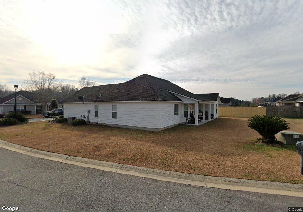
5209 Newman Way Hahira, GA 31632
Estimated Value: $291,120 - $338,000
3
Beds
2
Baths
1,820
Sq Ft
$172/Sq Ft
Est. Value
About This Home
This home is located at 5209 Newman Way, Hahira, GA 31632 and is currently estimated at $312,780, approximately $171 per square foot. 5209 Newman Way is a home with nearby schools including Westside Elementary School, Hahira Middle School, and Lowndes High School.
Ownership History
Date
Name
Owned For
Owner Type
Purchase Details
Closed on
Feb 28, 2012
Bought by
Barfield Audrey
Current Estimated Value
Home Financials for this Owner
Home Financials are based on the most recent Mortgage that was taken out on this home.
Original Mortgage
$167,510
Outstanding Balance
$115,232
Interest Rate
3.9%
Mortgage Type
New Conventional
Estimated Equity
$197,548
Purchase Details
Closed on
Dec 8, 2011
Sold by
Grove Pointe Llc
Bought by
Maples Brothers Construction Llc
Purchase Details
Closed on
Feb 28, 2006
Bought by
Grove Pointe Llc
Create a Home Valuation Report for This Property
The Home Valuation Report is an in-depth analysis detailing your home's value as well as a comparison with similar homes in the area
Home Values in the Area
Average Home Value in this Area
Purchase History
| Date | Buyer | Sale Price | Title Company |
|---|---|---|---|
| Barfield Audrey | $176,327 | -- | |
| Maples Brothers Construction Llc | $37,000 | -- | |
| Grove Pointe Llc | -- | -- |
Source: Public Records
Mortgage History
| Date | Status | Borrower | Loan Amount |
|---|---|---|---|
| Open | Barfield Audrey | $167,510 |
Source: Public Records
Tax History Compared to Growth
Tax History
| Year | Tax Paid | Tax Assessment Tax Assessment Total Assessment is a certain percentage of the fair market value that is determined by local assessors to be the total taxable value of land and additions on the property. | Land | Improvement |
|---|---|---|---|---|
| 2024 | $2,404 | $102,432 | $24,000 | $78,432 |
| 2023 | $2,300 | $98,432 | $20,000 | $78,432 |
| 2022 | $2,366 | $90,857 | $20,000 | $70,857 |
| 2021 | $1,872 | $70,286 | $20,000 | $50,286 |
| 2020 | $1,738 | $70,286 | $20,000 | $50,286 |
| 2019 | $1,463 | $59,556 | $15,600 | $43,956 |
| 2018 | $1,478 | $59,556 | $15,600 | $43,956 |
| 2017 | $1,503 | $59,556 | $15,600 | $43,956 |
| 2016 | $1,507 | $59,556 | $15,600 | $43,956 |
| 2015 | -- | $59,556 | $15,600 | $43,956 |
| 2014 | $1,474 | $59,556 | $15,600 | $43,956 |
Source: Public Records
Map
Nearby Homes
- 4029 Ashbourne Dr
- 5078 Planters Crossing
- 5229 Maycomb Ave
- 4664 Amelia Cir
- 5379 Maycomb Ave
- 4562 Amelia Cir
- 4732 Amelia Cir
- 5263 Maycomb Ave
- 5372 Myrick Cir
- 5028 Hatfield Cir
- 5116 Hatfield Cir
- 4504 Wellington Woods Dr
- 5051 Hatfield Cir
- The Carol Plan at Ballantyne
- The Ryleigh Plan at Ballantyne
- The Embry Plan at Ballantyne
- The Belfort Plan at Ballantyne
- 1000 Ballantyne Ln
- 0 Dasher Grove Rd
- 3061 Houser Way
- 5201 Newman Way
- 5206 Abbott Cir
- 5221 Abbott Cir
- 5227 Abbott Cir
- 5193 Newman Way
- 5210 Newman Way
- 5200 Abbott Cir
- 5200 Newman Way
- 5217 Abbott Cir
- 5231 Abbott Cir
- 5207 Abbott Cir
- 5211 Abbott Cir
- 5194 Newman Way
- 5187 Newman Way
- 5203 Abbott Cir
- 5196 Abbott Cir
- 5235 Abbott Cir
- 5125 Planters Crossing
- 5199 Abbott Cir
- 5121 Planters Crossing