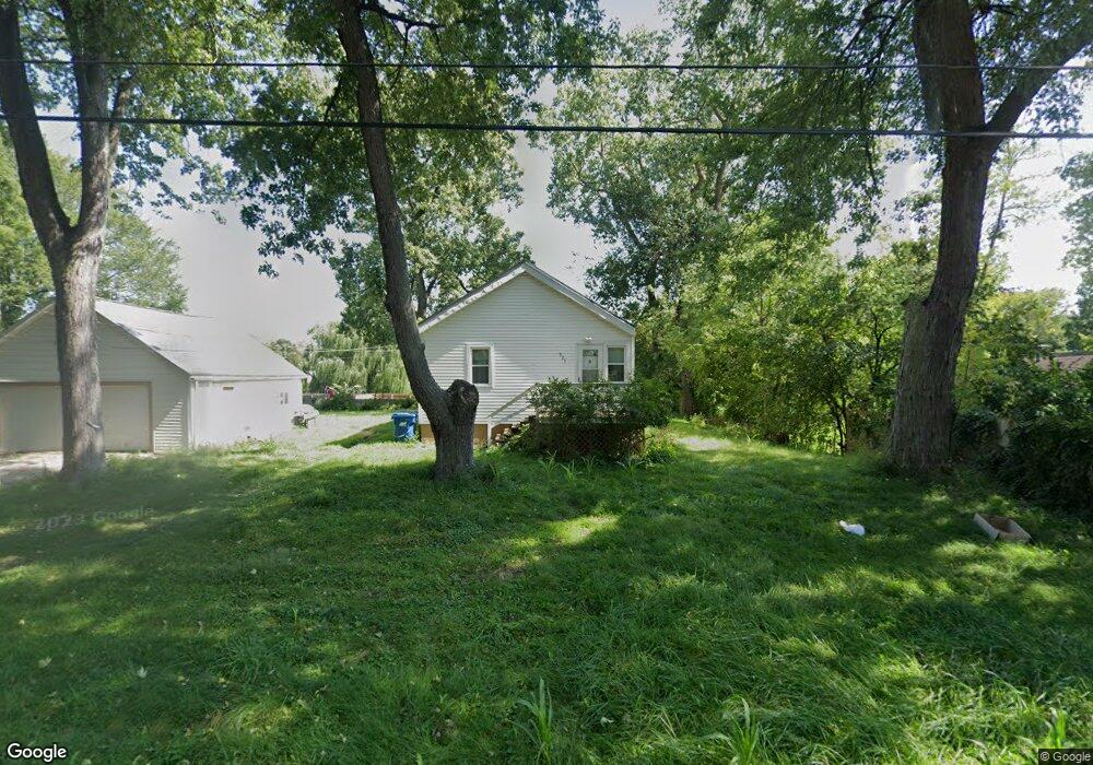
521 22nd St Jackson, MI 49203
Estimated Value: $122,000 - $148,000
3
Beds
1
Bath
792
Sq Ft
$173/Sq Ft
Est. Value
About This Home
This home is located at 521 22nd St, Jackson, MI 49203 and is currently estimated at $137,140, approximately $173 per square foot. 521 22nd St is a home located in Jackson County with nearby schools including Hunt Elementary School, Middle School at Parkside, and Jackson High School.
Ownership History
Date
Name
Owned For
Owner Type
Purchase Details
Closed on
Mar 6, 2013
Sold by
Zuniga Heladio
Bought by
Curran John R
Current Estimated Value
Purchase Details
Closed on
Mar 22, 2010
Sold by
Vazquez Victor Manuel Zuniga and Zuniga Chrystal L
Bought by
Zuniga Heladio
Purchase Details
Closed on
Jan 27, 2010
Sold by
Zuniga Heladio
Bought by
Vazquez Victor Manuel Zuniga and Zuniga Chrystal L
Purchase Details
Closed on
Jan 8, 2010
Sold by
Vazquez Victor Manuel Zuniga and Zuniga Chrystal L
Bought by
Zuniga Heladio
Purchase Details
Closed on
Aug 29, 2008
Sold by
Vazquez Zuniga Josefina
Bought by
Vazquez Victor Manuel Zuniga
Create a Home Valuation Report for This Property
The Home Valuation Report is an in-depth analysis detailing your home's value as well as a comparison with similar homes in the area
Home Values in the Area
Average Home Value in this Area
Purchase History
| Date | Buyer | Sale Price | Title Company |
|---|---|---|---|
| Curran John R | $46,000 | At | |
| Zuniga Heladio | -- | At | |
| Vazquez Victor Manuel Zuniga | -- | At | |
| Zuniga Heladio | -- | At | |
| Vazquez Victor Manuel Zuniga | -- | None Available |
Source: Public Records
Tax History
| Year | Tax Paid | Tax Assessment Tax Assessment Total Assessment is a certain percentage of the fair market value that is determined by local assessors to be the total taxable value of land and additions on the property. | Land | Improvement |
|---|---|---|---|---|
| 2025 | $1,111 | $69,300 | $0 | $0 |
| 2024 | $7 | $58,300 | $0 | $0 |
| 2023 | $673 | $48,600 | $0 | $0 |
| 2022 | $1,016 | $42,000 | $0 | $0 |
| 2021 | $1,005 | $40,200 | $0 | $0 |
| 2020 | $994 | $35,800 | $0 | $0 |
| 2019 | $1,328 | $31,900 | $0 | $0 |
| 2018 | $950 | $29,700 | $0 | $0 |
| 2017 | $761 | $28,300 | $0 | $0 |
| 2016 | $499 | $26,700 | $26,700 | $0 |
| 2015 | $1,091 | $24,800 | $24,800 | $0 |
| 2014 | $1,091 | $23,800 | $0 | $0 |
| 2013 | -- | $23,800 | $23,800 | $0 |
Source: Public Records
Map
Nearby Homes
- 406 21st St
- 723 22nd St
- 310 21st St
- 528 18th St
- 760 Woodbine Blvd
- 1604 W Washington Ave
- 1512 W Washington Ave
- 701 S Durand St
- 693 Leo Rd
- 829 Thorntree Blvd
- 1302 Elmwood Ave
- 1031 S Durand St
- 204 S Wisner St
- 108 N Thompson St
- 109 N Thompson St
- 1127 S Brown St
- 121 N Thompson St
- 1005 S Wisner St
- 0 Laurence Ave Unit 25062864
- 3250 Carlton Blvd
Your Personal Tour Guide
Ask me questions while you tour the home.