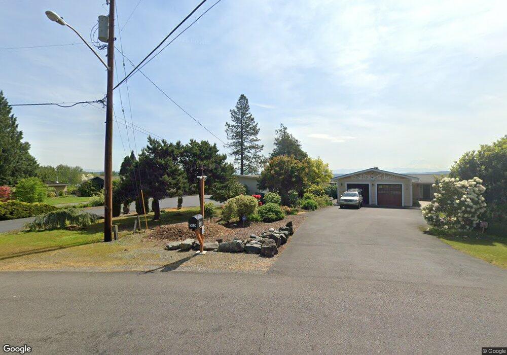
521 Aaby Dr Auburn, WA 98001
West Hill-Midway NeighborhoodEstimated Value: $573,551 - $631,000
2
Beds
2
Baths
1,380
Sq Ft
$430/Sq Ft
Est. Value
About This Home
This home is located at 521 Aaby Dr, Auburn, WA 98001 and is currently estimated at $593,638, approximately $430 per square foot. 521 Aaby Dr is a home located in King County with nearby schools including Evergreen Heights Elementary School, Cascade Middle School, and Auburn High School.
Ownership History
Date
Name
Owned For
Owner Type
Purchase Details
Closed on
Apr 6, 2007
Sold by
Froeschl Max and Froeschl Norma J
Bought by
Petheram William
Current Estimated Value
Home Financials for this Owner
Home Financials are based on the most recent Mortgage that was taken out on this home.
Original Mortgage
$261,120
Outstanding Balance
$157,706
Interest Rate
6.13%
Mortgage Type
Purchase Money Mortgage
Estimated Equity
$435,932
Purchase Details
Closed on
Jul 18, 1994
Sold by
Froeschl Max and Froeschl Norma J
Bought by
Froeschl Max and Froeschl Norma J
Create a Home Valuation Report for This Property
The Home Valuation Report is an in-depth analysis detailing your home's value as well as a comparison with similar homes in the area
Home Values in the Area
Average Home Value in this Area
Purchase History
| Date | Buyer | Sale Price | Title Company |
|---|---|---|---|
| Petheram William | $326,400 | First American | |
| Froeschl Max | -- | -- |
Source: Public Records
Mortgage History
| Date | Status | Borrower | Loan Amount |
|---|---|---|---|
| Open | Petheram William | $261,120 |
Source: Public Records
Tax History Compared to Growth
Tax History
| Year | Tax Paid | Tax Assessment Tax Assessment Total Assessment is a certain percentage of the fair market value that is determined by local assessors to be the total taxable value of land and additions on the property. | Land | Improvement |
|---|---|---|---|---|
| 2024 | $6,800 | $577,000 | $275,000 | $302,000 |
| 2023 | $6,259 | $505,000 | $173,000 | $332,000 |
| 2022 | $5,928 | $550,000 | $204,000 | $346,000 |
| 2021 | $5,455 | $448,000 | $176,000 | $272,000 |
| 2020 | $5,308 | $389,000 | $162,000 | $227,000 |
| 2018 | $5,187 | $372,000 | $141,000 | $231,000 |
| 2017 | $4,897 | $335,000 | $135,000 | $200,000 |
| 2016 | $4,274 | $317,000 | $153,000 | $164,000 |
| 2015 | $4,214 | $294,000 | $145,000 | $149,000 |
| 2014 | -- | $281,000 | $140,000 | $141,000 |
| 2013 | -- | $234,000 | $140,000 | $94,000 |
Source: Public Records
Map
Nearby Homes
- 36829 52nd Ave S Unit E/F
- 36812 52nd Ave S Unit H
- 36820 52nd Ave S Unit I
- 36836 52nd Ave S Unit JK
- 36844 52nd Ave S Unit L
- 118 G St SW
- 31855 51st Ave S
- 5007 S 324th St
- 4917 S 315th Place
- 32362 48th Ave S
- 505 B St NE
- 5615 S 305th St
- 509 C St SW
- 32534 44th Ave S
- 32540 44th Ave S
- 32606 44th Ave S
- 3073 3rd St NE
- 30194 63rd Place S
- 321 3rd St NE
- 306 2nd St NE