521 Airline Rd Stevens Point, WI 54481
Estimated Value: $251,000 - $322,000
Studio
--
Bath
--
Sq Ft
0.56
Acres Lot
About This Home
This home is located at 521 Airline Rd, Stevens Point, WI 54481 and is currently estimated at $289,731. 521 Airline Rd is a home located in Portage County with nearby schools including McDill Elementary School, Benjamin Franklin Junior High School, and Stevens Point Area Senior High School.
Ownership History
Date
Name
Owned For
Owner Type
Purchase Details
Closed on
Jan 28, 2022
Sold by
Josephine Kraklow
Bought by
Kluck Lisa and Kraklow Richard
Current Estimated Value
Home Financials for this Owner
Home Financials are based on the most recent Mortgage that was taken out on this home.
Original Mortgage
$212,087
Outstanding Balance
$193,762
Interest Rate
3.22%
Mortgage Type
FHA
Estimated Equity
$95,969
Purchase Details
Closed on
Mar 11, 2013
Sold by
Kraklow Josephine Josephine
Bought by
Kraklow Josephine
Create a Home Valuation Report for This Property
The Home Valuation Report is an in-depth analysis detailing your home's value as well as a comparison with similar homes in the area
Home Values in the Area
Average Home Value in this Area
Purchase History
We collect this data history from publicly available records. To have your information removed, we recommend requesting removal directly through your county’s website.
| Date | Buyer | Sale Price | Title Company |
|---|---|---|---|
| Kluck Lisa | $216,000 | Gowey Abstract & Title | |
| Kraklow Josephine | $100 | -- |
Source: Public Records
Mortgage History
We collect this data history from publicly available records. To have your information removed, we recommend requesting removal directly through your county’s website.
| Date | Status | Borrower | Loan Amount |
|---|---|---|---|
| Open | Kluck Lisa | $212,087 |
Source: Public Records
Tax History
| Year | Tax Paid | Tax Assessment Tax Assessment Total Assessment is a certain percentage of the fair market value that is determined by local assessors to be the total taxable value of land and additions on the property. | Land | Improvement |
|---|---|---|---|---|
| 2025 | $3,674 | $211,400 | $43,300 | $168,100 |
| 2024 | $39 | $211,400 | $43,300 | $168,100 |
| 2023 | $4,281 | $211,400 | $43,300 | $168,100 |
| 2022 | $3,112 | $211,400 | $43,300 | $168,100 |
| 2021 | $2,767 | $143,000 | $30,500 | $112,500 |
| 2020 | $2,749 | $143,000 | $30,500 | $112,500 |
| 2019 | $2,786 | $143,000 | $30,500 | $112,500 |
| 2018 | $2,625 | $143,000 | $30,500 | $112,500 |
| 2017 | $2,460 | $143,000 | $30,500 | $112,500 |
| 2016 | $2,492 | $143,000 | $30,500 | $112,500 |
| 2015 | $2,463 | $143,000 | $30,500 | $112,500 |
| 2014 | $2,405 | $143,000 | $30,500 | $112,500 |
Source: Public Records
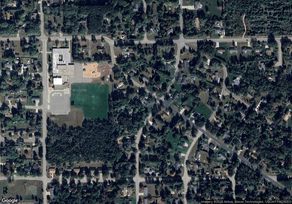
Map
Nearby Homes
- 2704 Post Rd
- 2906 Post Rd
- 3017 1st St
- 3019 1st St
- 630 Bobs Dr
- 2200 Post Rd
- 1900 Julie Ln
- 1915 School St
- 530 Canterbury Dr
- 3350 Bonnie Bay Rd
- 2410 Hickory Dr
- 321 Crossbow Dr
- 3365 Feltz Ave
- 4314 2nd St
- 4420 1st St
- 1561 Ojibwa Ln
- 3208 Della St
- 1830 Blueberry Dr
- 36.20 Acres Brentwood Dr
- 10 Acres Brentwood Dr
Your Personal Tour Guide
Ask me questions while you tour the home.