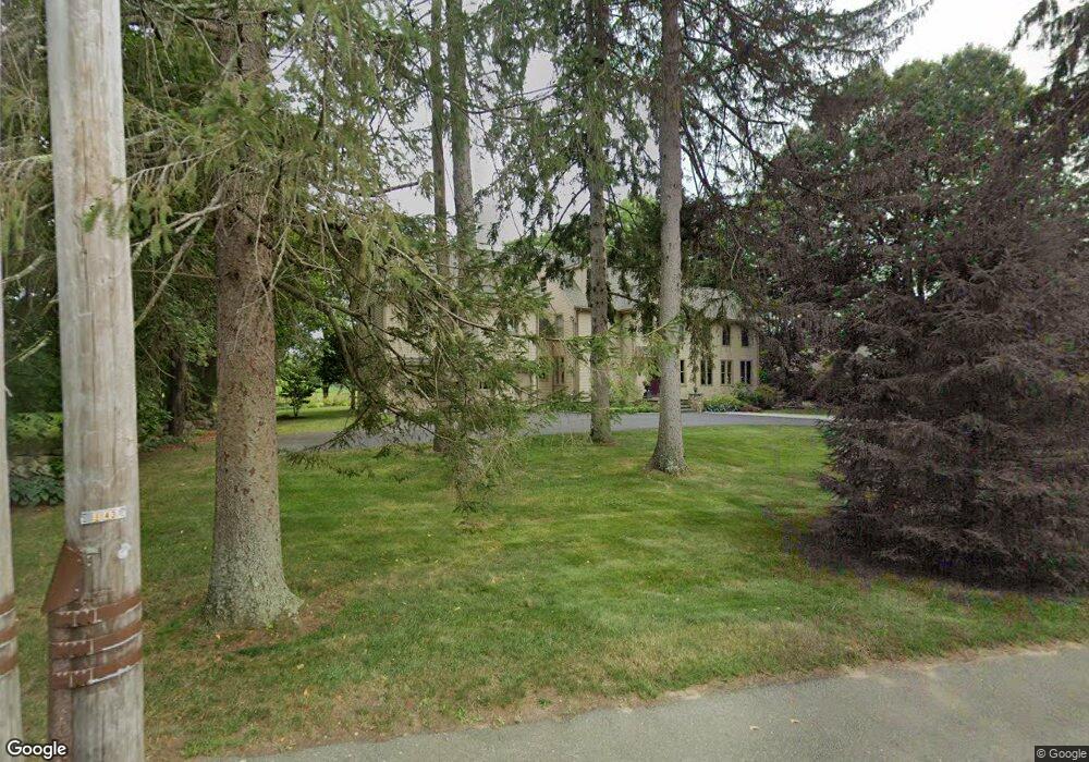
521 Barretts Mill Rd Concord, MA 01742
Estimated Value: $1,765,168 - $2,137,000
4
Beds
4
Baths
3,914
Sq Ft
$484/Sq Ft
Est. Value
About This Home
This home is located at 521 Barretts Mill Rd, Concord, MA 01742 and is currently estimated at $1,894,542, approximately $484 per square foot. 521 Barretts Mill Rd is a home located in Middlesex County with nearby schools including Thoreau Elementary School, Concord Middle School, and Concord Carlisle High School.
Ownership History
Date
Name
Owned For
Owner Type
Purchase Details
Closed on
May 23, 1989
Sold by
Tittmann Lucy K
Bought by
Otoole Karen D
Current Estimated Value
Purchase Details
Closed on
May 11, 1988
Sold by
Mcgrath James T
Bought by
Tittman Lucy K
Create a Home Valuation Report for This Property
The Home Valuation Report is an in-depth analysis detailing your home's value as well as a comparison with similar homes in the area
Home Values in the Area
Average Home Value in this Area
Purchase History
| Date | Buyer | Sale Price | Title Company |
|---|---|---|---|
| Otoole Karen D | $455,000 | -- | |
| Tittman Lucy K | $273,000 | -- |
Source: Public Records
Mortgage History
| Date | Status | Borrower | Loan Amount |
|---|---|---|---|
| Open | Tittman Lucy K | $250,000 | |
| Closed | Tittman Lucy K | $220,000 |
Source: Public Records
Tax History Compared to Growth
Tax History
| Year | Tax Paid | Tax Assessment Tax Assessment Total Assessment is a certain percentage of the fair market value that is determined by local assessors to be the total taxable value of land and additions on the property. | Land | Improvement |
|---|---|---|---|---|
| 2025 | $205 | $1,549,500 | $580,500 | $969,000 |
| 2024 | $20,345 | $1,549,500 | $580,500 | $969,000 |
| 2023 | $18,800 | $1,450,600 | $527,700 | $922,900 |
| 2022 | $17,604 | $1,192,700 | $422,100 | $770,600 |
| 2021 | $17,038 | $1,157,500 | $422,100 | $735,400 |
| 2020 | $16,688 | $1,172,700 | $422,100 | $750,600 |
| 2019 | $15,372 | $1,083,300 | $389,400 | $693,900 |
| 2018 | $15,359 | $1,074,800 | $390,400 | $684,400 |
| 2017 | $15,253 | $1,084,100 | $399,700 | $684,400 |
| 2016 | $14,968 | $1,075,300 | $381,100 | $694,200 |
| 2015 | $14,130 | $988,800 | $352,900 | $635,900 |
Source: Public Records
Map
Nearby Homes
- 79-81 Assabet Ave
- 855 Barretts Mill Rd
- 295 Musterfield Rd
- 244 Musterfield Rd
- 488 Elm St
- 138 Baker Ave
- 987 Lowell Rd
- 213 Nashoba Rd
- 19 Whippoorwill Ln
- 29 Concord Greene Unit 2
- 16 Concord Greene Unit 5
- 343 Nashawtuc Rd
- 24 Concord Greene Unit 7
- 23 Concord Greene Unit 4
- 29 Willard Common
- 1053 Main St
- 49 Willard Common
- 46 Wood St
- 38 McCallar Ln
- 10 Wingate Ln
- 505 Barretts Mill Rd
- 537 Barretts Mill Rd
- 520 Barretts Mill Rd
- 41 Lee Dr
- 510 Barretts Mill Rd
- 540 Barretts Mill Rd
- 490 Barretts Mill Rd
- 59 Lee Dr
- 554 Barretts Mill Rd
- 48 Lee Dr
- 474 Barretts Mill Rd
- 568 Barretts Mill Rd
- 575 Barretts Mill Rd
- 62 Lee Dr
- 71 Lee Dr
- 586 Barretts Mill Rd
- 89 Lee Dr
- 120 Lanes End
- 105 Lee Dr
- 90 Lee Dr