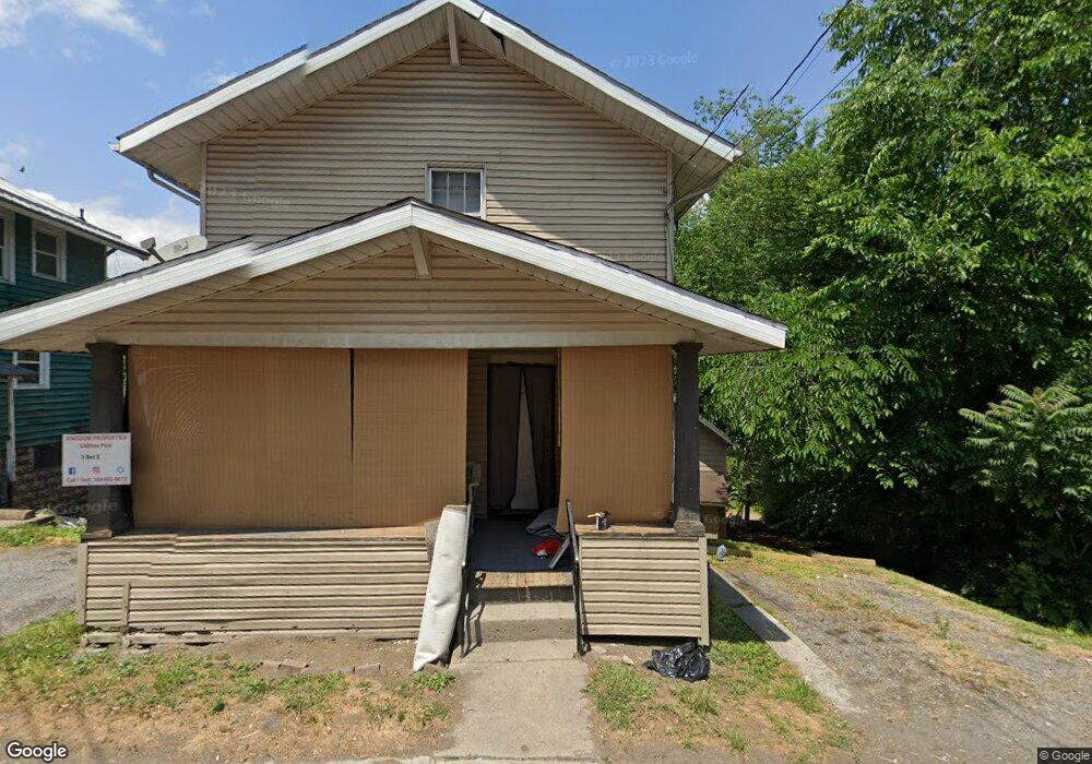
521 Brockway Ave Morgantown, WV 26501
South Park NeighborhoodEstimated Value: $147,949 - $197,000
2
Beds
1
Bath
1,040
Sq Ft
$155/Sq Ft
Est. Value
About This Home
This home is located at 521 Brockway Ave, Morgantown, WV 26501 and is currently estimated at $161,237, approximately $155 per square foot. 521 Brockway Ave is a home located in Monongalia County with nearby schools including Mountainview Elementary School, South Middle School, and Morgantown High School.
Create a Home Valuation Report for This Property
The Home Valuation Report is an in-depth analysis detailing your home's value as well as a comparison with similar homes in the area
Home Values in the Area
Average Home Value in this Area
Tax History Compared to Growth
Tax History
| Year | Tax Paid | Tax Assessment Tax Assessment Total Assessment is a certain percentage of the fair market value that is determined by local assessors to be the total taxable value of land and additions on the property. | Land | Improvement |
|---|---|---|---|---|
| 2025 | $1,312 | $49,740 | $22,800 | $26,940 |
| 2024 | $1,312 | $49,740 | $22,800 | $26,940 |
| 2023 | $1,309 | $46,980 | $22,800 | $24,180 |
| 2022 | $1,187 | $46,560 | $22,800 | $23,760 |
| 2021 | $1,192 | $46,560 | $22,800 | $23,760 |
| 2020 | $1,196 | $46,560 | $22,800 | $23,760 |
| 2019 | $1,203 | $46,560 | $22,800 | $23,760 |
| 2018 | $1,206 | $46,560 | $22,800 | $23,760 |
| 2017 | $1,130 | $43,440 | $21,540 | $21,900 |
| 2016 | $1,084 | $41,460 | $19,560 | $21,900 |
| 2015 | $1,003 | $39,780 | $17,880 | $21,900 |
| 2014 | $927 | $38,160 | $16,560 | $21,600 |
Source: Public Records
Map
Nearby Homes
- 657 E Brockway Ave
- 513 Brockway Ave
- 518 Pennsylvania Ave
- 514 Pennsylvania Ave
- 509 Brockway Ave
- 530 Brockway Ave
- 510 Pennsylvania Ave
- 469 Brockway Ave
- 519 Clark St
- 539 Brockway Ave
- 542 Pennsylvania Ave
- 541 Brockway Ave
- 538 Brockway Ave
- 463 Brockway Ave
- 515 Clark St
- 542 Brockway Ave
- 464 Brockway Ave
- 509 Clark St
- 545 Brockway Ave
- 539 Pennsylvania Ave Unit 539 penn