521 Brookside Dr Wexford, PA 15090
Pine Township NeighborhoodEstimated Value: $323,000 - $618,000
3
Beds
1
Bath
2,443
Sq Ft
$215/Sq Ft
Est. Value
About This Home
This home is located at 521 Brookside Dr, Wexford, PA 15090 and is currently estimated at $524,768, approximately $214 per square foot. 521 Brookside Dr is a home located in Allegheny County with nearby schools including Wexford Elementary School, Eden Hall Upper Elementary, and Pine-Richland Middle School.
Ownership History
Date
Name
Owned For
Owner Type
Purchase Details
Closed on
May 29, 2018
Sold by
Alberts Kurt D and Alberts Alison R
Bought by
Alberts Kurt David and Alberts Alison R
Current Estimated Value
Purchase Details
Closed on
Sep 18, 2013
Sold by
Reith Edward H
Bought by
Alberts Kurt D
Purchase Details
Closed on
Aug 1, 2012
Sold by
Mayer Robert J
Bought by
Reith Edward H
Create a Home Valuation Report for This Property
The Home Valuation Report is an in-depth analysis detailing your home's value as well as a comparison with similar homes in the area
Home Values in the Area
Average Home Value in this Area
Purchase History
| Date | Buyer | Sale Price | Title Company |
|---|---|---|---|
| Alberts Kurt David | -- | None Available | |
| Alberts Kurt D | $41,500 | -- | |
| Reith Edward H | $34,000 | -- |
Source: Public Records
Tax History Compared to Growth
Tax History
| Year | Tax Paid | Tax Assessment Tax Assessment Total Assessment is a certain percentage of the fair market value that is determined by local assessors to be the total taxable value of land and additions on the property. | Land | Improvement |
|---|---|---|---|---|
| 2025 | $6,886 | $272,000 | $62,000 | $210,000 |
| 2024 | $6,886 | $272,000 | $62,000 | $210,000 |
| 2023 | $6,886 | $272,000 | $62,000 | $210,000 |
| 2022 | $6,886 | $272,000 | $62,000 | $210,000 |
| 2021 | $1,441 | $272,000 | $62,000 | $210,000 |
| 2020 | $7,713 | $304,700 | $62,000 | $242,700 |
| 2019 | $6,632 | $262,000 | $62,000 | $200,000 |
| 2018 | $1,239 | $262,000 | $62,000 | $200,000 |
| 2017 | $6,533 | $262,000 | $62,000 | $200,000 |
| 2016 | $1,239 | $262,000 | $62,000 | $200,000 |
| 2015 | $1,239 | $351,600 | $62,000 | $289,600 |
| 2014 | $8,769 | $34,000 | $34,000 | $0 |
Source: Public Records
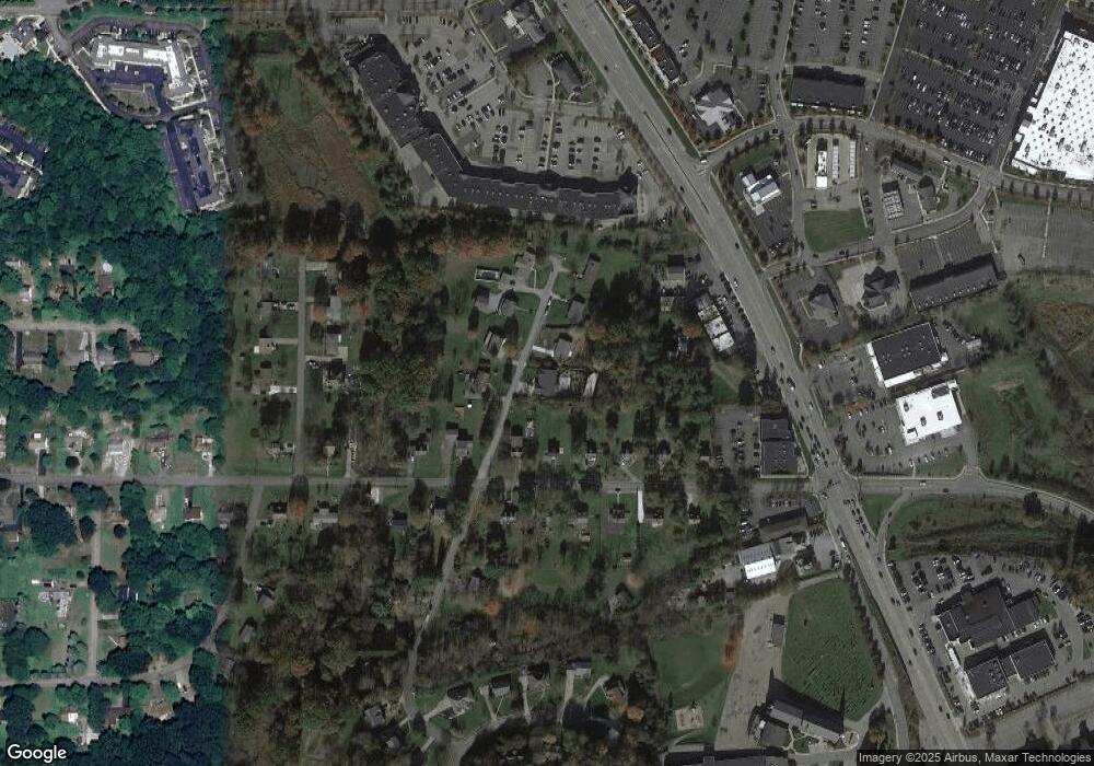
Map
Nearby Homes
- Marshall II Plan at Marshall Crossing
- Marshall I Plan at Marshall Crossing
- Marshall III Plan at Marshall Crossing
- Marshall IV Plan at Marshall Crossing
- 608 Garden Way
- 411 Fairgate Dr
- 947 Park Plaza
- 602 Fairgate Dr
- 290 Wexford Bayne Rd
- 307 Georgetowne Ct
- 118 Blue Heron Dr
- 1368 Royal Oak Dr
- 613 Lincoln Rd
- 509 Altmyer Fields Ln
- 110 Mckinney Rd
- 340 Fox Meadow Dr
- 603 Edgewood Rd
- Nantucket Plan at The Orchard at Bauerle
- Napa Plan at The Orchard at Bauerle
- Aspen Plan at The Orchard at Bauerle