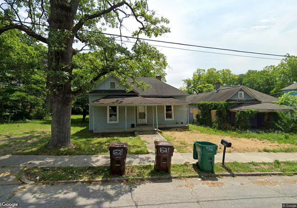
521 Cable St High Point, NC 27260
Downtown High Point NeighborhoodEstimated Value: $164,000 - $178,000
2
Beds
1
Bath
1,088
Sq Ft
$159/Sq Ft
Est. Value
About This Home
This home is located at 521 Cable St, High Point, NC 27260 and is currently estimated at $173,355, approximately $159 per square foot. 521 Cable St is a home located in Guilford County with nearby schools including Northwood Elementary School, Ferndale Middle School, and High Point Central High School.
Ownership History
Date
Name
Owned For
Owner Type
Purchase Details
Closed on
Nov 24, 2025
Sold by
Denim Love Trust
Bought by
521 Cable Street Llc
Current Estimated Value
Purchase Details
Closed on
Dec 6, 2024
Sold by
Long Michael A and Long Patricia R
Bought by
Jcmnc Llc
Purchase Details
Closed on
Feb 19, 2020
Sold by
S & S Investments Llc
Bought by
Long Michael
Purchase Details
Closed on
Jun 18, 2019
Sold by
Bartlett Edyth H
Bought by
S & S Investments Llc
Create a Home Valuation Report for This Property
The Home Valuation Report is an in-depth analysis detailing your home's value as well as a comparison with similar homes in the area
Home Values in the Area
Average Home Value in this Area
Purchase History
| Date | Buyer | Sale Price | Title Company |
|---|---|---|---|
| 521 Cable Street Llc | $175,500 | None Listed On Document | |
| Jcmnc Llc | $650,000 | None Listed On Document | |
| Long Michael | $9,000 | None Available | |
| S & S Investments Llc | $8,000 | None Available |
Source: Public Records
Tax History
| Year | Tax Paid | Tax Assessment Tax Assessment Total Assessment is a certain percentage of the fair market value that is determined by local assessors to be the total taxable value of land and additions on the property. | Land | Improvement |
|---|---|---|---|---|
| 2025 | $540 | $39,200 | $11,000 | $28,200 |
| 2024 | $540 | $39,200 | $11,000 | $28,200 |
| 2023 | $540 | $39,200 | $11,000 | $28,200 |
| 2022 | $528 | $39,200 | $11,000 | $28,200 |
| 2021 | $332 | $24,100 | $5,000 | $19,100 |
| 2020 | $332 | $24,100 | $5,000 | $19,100 |
| 2019 | $332 | $24,100 | $0 | $0 |
| 2018 | $330 | $24,100 | $0 | $0 |
| 2017 | $332 | $24,100 | $0 | $0 |
| 2016 | $323 | $23,000 | $0 | $0 |
| 2015 | $324 | $23,000 | $0 | $0 |
| 2014 | $330 | $23,000 | $0 | $0 |
Source: Public Records
Map
Nearby Homes
- 515 Cable St
- 516 Whiteoak St
- 518 Whiteoak St
- 517 Walnut St
- 809 E Green Dr
- 1219 Furlough Ave
- 812 E Russell Ave
- 311 Park St
- 1204 Pearson Place
- 1201 Pearson Place
- 1314 Franklin Ave
- 1224 S Downing St
- 427 Tate St
- 705 Wise Ave
- 702 Park St
- 640 Wesley Dr
- 505 E Grimes Ave
- 114 Eccles Place
- 909 Randolph St
- 1907 E Green Dr
Your Personal Tour Guide
Ask me questions while you tour the home.