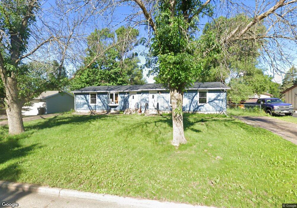
521 Cedar Dr N Hudson, WI 54016
Estimated Value: $357,000 - $371,000
Studio
--
Bath
--
Sq Ft
13,155
Sq Ft Lot
About This Home
This home is located at 521 Cedar Dr N, Hudson, WI 54016 and is currently estimated at $361,981. 521 Cedar Dr N is a home located in St. Croix County with nearby schools including North Hudson Elementary School, Hudson Middle School, and Hudson High School.
Ownership History
Date
Name
Owned For
Owner Type
Purchase Details
Closed on
May 22, 2024
Sold by
Larson Paul A and Larson Holly A
Bought by
Lmg Investments Llc
Current Estimated Value
Purchase Details
Closed on
Jul 25, 2014
Sold by
Harwell Fredrick J and Harwell Deborah J
Bought by
Larson Paul A and Larson Holly A
Home Financials for this Owner
Home Financials are based on the most recent Mortgage that was taken out on this home.
Original Mortgage
$189,337
Interest Rate
4.2%
Mortgage Type
VA
Create a Home Valuation Report for This Property
The Home Valuation Report is an in-depth analysis detailing your home's value as well as a comparison with similar homes in the area
Home Values in the Area
Average Home Value in this Area
Purchase History
| Date | Buyer | Sale Price | Title Company |
|---|---|---|---|
| Lmg Investments Llc | $360,000 | Legacy Title | |
| Larson Paul A | $184,900 | None Available |
Source: Public Records
Mortgage History
| Date | Status | Borrower | Loan Amount |
|---|---|---|---|
| Previous Owner | Larson Paul A | $189,337 |
Source: Public Records
Tax History
| Year | Tax Paid | Tax Assessment Tax Assessment Total Assessment is a certain percentage of the fair market value that is determined by local assessors to be the total taxable value of land and additions on the property. | Land | Improvement |
|---|---|---|---|---|
| 2025 | $4,282 | $299,300 | $64,400 | $234,900 |
| 2024 | $41 | $299,300 | $64,400 | $234,900 |
| 2023 | $3,877 | $299,300 | $64,400 | $234,900 |
| 2022 | $3,869 | $299,300 | $64,400 | $234,900 |
| 2021 | $3,746 | $184,300 | $36,500 | $147,800 |
| 2020 | $3,634 | $184,300 | $36,500 | $147,800 |
| 2019 | $3,387 | $184,300 | $36,500 | $147,800 |
| 2018 | $3,335 | $184,300 | $36,500 | $147,800 |
| 2017 | $3,215 | $184,300 | $36,500 | $147,800 |
| 2016 | $3,215 | $184,300 | $36,500 | $147,800 |
| 2015 | $2,945 | $184,300 | $36,500 | $147,800 |
| 2014 | $2,923 | $184,300 | $36,500 | $147,800 |
| 2013 | $3,021 | $192,300 | $40,000 | $152,300 |
Source: Public Records
Map
Nearby Homes
- 602 Prairie Dr N
- 1102 Sommers St N
- 1031 Sommers St N
- 1029 Sommers St N
- 641 8th St N
- 709 Saint Croix St N
- 888 Bluebird Ct N
- 1110 Partridge Ln
- 403 7th St N
- 1143 Sommers St N
- 312 Meadow Dr N
- 612 4th St N Unit 15
- 1205 Riverside Dr N
- 1205 Riverside Drive N
- 322 5th St N
- 709 Riverside Dr N
- 214 Galahad Place N
- 811 Fox Tree Ln N
- 621 Mallalieu Dr
- 1233 7th St
- 521 Cedar Dr N
- 521 Cedar Dr N Unit 521-523
- 525 Cedar Dr N
- 519 Cedar Dr N
- 522 10th St N
- 520 10th St N
- 1010 Michaelson St N
- 517 Cedar Dr N
- 522 Cedar Dr N
- 518 Cedar Dr N
- 524 Cedar Dr N
- 518 10th St N
- 601 Cedar Dr N
- 516 Cedar Dr N
- 513 Cedar Dr N
- 602 10th St N
- 600 Cedar Dr N
- 521 Prairie Dr N
- 512 Cedar Dr N
- 516 10th St N
Your Personal Tour Guide
Ask me questions while you tour the home.