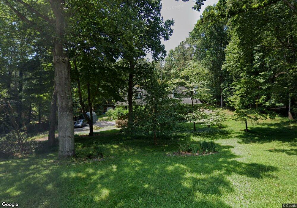
521 Cherokee Mills Dr Woodstock, GA 30189
Sutallee NeighborhoodEstimated Value: $478,000 - $520,000
4
Beds
3
Baths
2,260
Sq Ft
$221/Sq Ft
Est. Value
About This Home
This home is located at 521 Cherokee Mills Dr, Woodstock, GA 30189 and is currently estimated at $498,991, approximately $220 per square foot. 521 Cherokee Mills Dr is a home located in Cherokee County with nearby schools including Boston Elementary School, E. T. Booth Middle School, and Etowah High School.
Ownership History
Date
Name
Owned For
Owner Type
Purchase Details
Closed on
Apr 4, 2003
Sold by
Bishop William
Bought by
Jackson William B and Jackson Cancace
Current Estimated Value
Home Financials for this Owner
Home Financials are based on the most recent Mortgage that was taken out on this home.
Original Mortgage
$125,000
Outstanding Balance
$53,660
Interest Rate
5.74%
Mortgage Type
New Conventional
Estimated Equity
$445,331
Purchase Details
Closed on
Jul 22, 1994
Sold by
Collie Susan
Bought by
Bishop William
Home Financials for this Owner
Home Financials are based on the most recent Mortgage that was taken out on this home.
Original Mortgage
$60,000
Interest Rate
8.28%
Mortgage Type
Purchase Money Mortgage
Create a Home Valuation Report for This Property
The Home Valuation Report is an in-depth analysis detailing your home's value as well as a comparison with similar homes in the area
Home Values in the Area
Average Home Value in this Area
Purchase History
| Date | Buyer | Sale Price | Title Company |
|---|---|---|---|
| Jackson William B | -- | -- | |
| Bishop William | $143,000 | -- |
Source: Public Records
Mortgage History
| Date | Status | Borrower | Loan Amount |
|---|---|---|---|
| Open | Jackson William B | $125,000 | |
| Previous Owner | Bishop William | $60,000 |
Source: Public Records
Tax History Compared to Growth
Tax History
| Year | Tax Paid | Tax Assessment Tax Assessment Total Assessment is a certain percentage of the fair market value that is determined by local assessors to be the total taxable value of land and additions on the property. | Land | Improvement |
|---|---|---|---|---|
| 2024 | $973 | $188,068 | $36,000 | $152,068 |
| 2023 | $809 | $180,108 | $36,000 | $144,108 |
| 2022 | $861 | $139,228 | $36,000 | $103,228 |
| 2021 | $820 | $109,028 | $28,000 | $81,028 |
| 2020 | $774 | $95,948 | $24,200 | $71,748 |
| 2019 | $762 | $92,840 | $22,000 | $70,840 |
| 2018 | $767 | $90,680 | $22,000 | $68,680 |
| 2017 | $769 | $216,900 | $22,000 | $64,760 |
| 2016 | $722 | $194,200 | $20,000 | $57,680 |
| 2015 | $642 | $168,400 | $20,000 | $47,360 |
| 2014 | $1,934 | $169,900 | $20,000 | $47,960 |
Source: Public Records
Map
Nearby Homes
- 617 Driftwood Dr
- 627 Apache Trail
- 1508 Towne Harbor Ln
- 477 Victoria Rd
- 1511 Harbor Watch Ct
- 1364 Towne Harbor Trail
- 313 Maltibe Dr
- 146 Sunset Ln
- 819 Victoria Place
- 7119 Big Woods Dr
- 507 Huntgate Rd
- 1028 Deer Hollow Dr
- 7307 Carriage Creek Rd
- 306 N Briar Ridge
- 314 Bethel Dr
- 1001 Deer Hollow Dr
- 104 Rose Cottage Ln Unit 65
- 519 Cherokee Mills Dr
- 523 Cherokee Mills Dr
- 535 Cherokee Mills Dr
- 0 N Victoria Rd Unit 7408816
- 0 N Victoria Rd Unit 7498768
- 0 N Victoria Rd Unit 5063511
- 0 N Victoria Rd Unit 5196647
- 0 N Victoria Rd Unit 5542429
- 0 N Victoria Rd Unit 5576661
- 0 N Victoria Rd Unit 5583534
- 0 N Victoria Rd Unit 5602096
- 0 N Victoria Rd Unit 5638635
- 0 N Victoria Rd Unit 5741207
- 0 N Victoria Rd Unit 5741196
- 0 N Victoria Rd Unit 7461710
- 0 N Victoria Rd Unit 7069314
- 0 N Victoria Rd Unit 7593508
- 0 N Victoria Rd Unit 3191801
- 0 N Victoria Rd Unit 8287869
- 0 N Victoria Rd Unit 7219970