521 Cullum Rd Ninety Six, SC 29666
Estimated Value: $343,000 - $520,000
3
Beds
1
Bath
1,444
Sq Ft
$287/Sq Ft
Est. Value
About This Home
This home is located at 521 Cullum Rd, Ninety Six, SC 29666 and is currently estimated at $414,396, approximately $286 per square foot. 521 Cullum Rd is a home with nearby schools including Ninety Six Primary School, Ninety Six Elementary School, and Edgewood Middle School.
Ownership History
Date
Name
Owned For
Owner Type
Purchase Details
Closed on
Sep 24, 2020
Sold by
Dominick William R
Bought by
Burden Leslie D and Burden Clinton Adam
Current Estimated Value
Purchase Details
Closed on
Feb 2, 2017
Sold by
Dominick Saundra L
Bought by
Burden Leslie D and Dominick William R
Home Financials for this Owner
Home Financials are based on the most recent Mortgage that was taken out on this home.
Original Mortgage
$130,000
Interest Rate
4.2%
Mortgage Type
Commercial
Purchase Details
Closed on
Dec 29, 2016
Sold by
Dominick Saundra J
Bought by
Burden Leslie D and Dominick William R
Home Financials for this Owner
Home Financials are based on the most recent Mortgage that was taken out on this home.
Original Mortgage
$130,000
Interest Rate
4.2%
Mortgage Type
Commercial
Create a Home Valuation Report for This Property
The Home Valuation Report is an in-depth analysis detailing your home's value as well as a comparison with similar homes in the area
Home Values in the Area
Average Home Value in this Area
Purchase History
| Date | Buyer | Sale Price | Title Company |
|---|---|---|---|
| Burden Leslie D | -- | None Available | |
| Burden Leslie D | -- | None Available | |
| Burden Leslie D | -- | None Available |
Source: Public Records
Mortgage History
| Date | Status | Borrower | Loan Amount |
|---|---|---|---|
| Previous Owner | Burden Leslie D | $130,000 |
Source: Public Records
Tax History Compared to Growth
Tax History
| Year | Tax Paid | Tax Assessment Tax Assessment Total Assessment is a certain percentage of the fair market value that is determined by local assessors to be the total taxable value of land and additions on the property. | Land | Improvement |
|---|---|---|---|---|
| 2024 | $1,235 | $8,180 | $0 | $0 |
| 2023 | $1,235 | $8,180 | $0 | $0 |
| 2022 | $1,223 | $8,180 | $0 | $0 |
| 2021 | $3,923 | $12,260 | $0 | $0 |
| 2020 | $1,186 | $7,960 | $0 | $0 |
| 2019 | $1,182 | $7,960 | $0 | $0 |
| 2018 | $1,172 | $199,000 | $120,000 | $79,000 |
| 2017 | $1,162 | $199,000 | $120,000 | $79,000 |
| 2016 | $2,732 | $140,500 | $56,600 | $83,900 |
| 2015 | $2,388 | $122,200 | $49,200 | $73,000 |
| 2014 | -- | $7,330 | $0 | $0 |
| 2010 | -- | $106,300 | $42,800 | $63,500 |
Source: Public Records
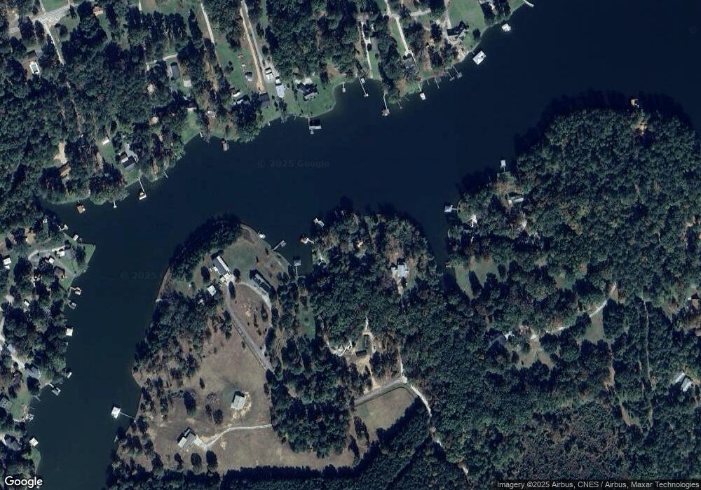
Map
Nearby Homes
- 104 Bayview Dr
- 219 Nautical Way
- 1734 Pineland Shores Cir
- 102 P C Jean Rd
- 316 Pulham Rd
- 201 Harborside Dr
- 305 Pullham Rd
- 00 Pineland Shores Cir
- 463 Cane Creek Camp Park
- 463 Cane Creek Camp Lot 41 Rd
- 0 Osprey Cir Unit 1546660
- 0 Osprey Cir Unit 22500021
- 0 Osprey Cir Unit 22499942
- 220 Gardenia Dr
- 242 Gardenia Dr
- 334 Pelican Harbor Dr
- 681 Amber Hill Cir
- 712 State Road S-30-566
- 1806 N Hwy 246
- 130 Sassafrass
- 523 Cullum Rd
- 525 Cullum Rd
- 515 Cullum Rd
- 517 Cullum Rd
- 1118 Calhoun Rd E
- 515 Rabbit Run Rd
- 1110 Calhoun Rd E
- 1114 Calhoun Rd E
- 218 Breazeale Rd
- 517 Rabbit Run Rd
- 505 Rabbit Run Rd
- 106 Irvines Cir
- 114 Irvines Cir
- 216 Breazeale Rd
- 116B Irvines Cir
- 116 Irvines Cir
- 112 Irvines Cir
- 511 Cullum Rd
- 214 Breazeale Rd
- 204 Breazeale Rd