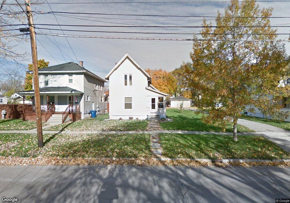
521 E Comstock St Owosso, MI 48867
Estimated Value: $102,000 - $124,086
3
Beds
1
Bath
1,272
Sq Ft
$90/Sq Ft
Est. Value
About This Home
This home is located at 521 E Comstock St, Owosso, MI 48867 and is currently estimated at $114,772, approximately $90 per square foot. 521 E Comstock St is a home located in Shiawassee County with nearby schools including Owosso High School, Salem Lutheran School, and St. Joseph School.
Ownership History
Date
Name
Owned For
Owner Type
Purchase Details
Closed on
Feb 25, 2026
Sold by
Mary Hartmann
Bought by
New American Funding Llc and New America Funding
Current Estimated Value
Purchase Details
Closed on
Sep 14, 2009
Sold by
Homesales Inc
Bought by
Criner Alice
Purchase Details
Closed on
Dec 30, 2002
Sold by
Feldpausch Cynthia J and Arbuckle Cynthia J
Bought by
Cornett David P
Home Financials for this Owner
Home Financials are based on the most recent Mortgage that was taken out on this home.
Original Mortgage
$79,900
Interest Rate
6.23%
Create a Home Valuation Report for This Property
The Home Valuation Report is an in-depth analysis detailing your home's value as well as a comparison with similar homes in the area
Home Values in the Area
Average Home Value in this Area
Purchase History
| Date | Buyer | Sale Price | Title Company |
|---|---|---|---|
| New American Funding Llc | $85,760 | None Listed On Document | |
| Criner Alice | $26,000 | -- | |
| Homesales Inc | -- | -- | |
| Cornett David P | $78,900 | Chicago Title Of Michigan In |
Source: Public Records
Mortgage History
| Date | Status | Borrower | Loan Amount |
|---|---|---|---|
| Previous Owner | Cornett David P | $79,900 |
Source: Public Records
Tax History
| Year | Tax Paid | Tax Assessment Tax Assessment Total Assessment is a certain percentage of the fair market value that is determined by local assessors to be the total taxable value of land and additions on the property. | Land | Improvement |
|---|---|---|---|---|
| 2025 | $1,496 | $55,500 | $0 | $0 |
| 2024 | $1,496 | $50,900 | $0 | $0 |
| 2023 | $941 | $45,800 | $0 | $0 |
| 2022 | $1,447 | $41,000 | $0 | $0 |
| 2021 | $1,373 | $37,900 | $0 | $0 |
| 2020 | $1,417 | $34,800 | $0 | $0 |
| 2019 | $1,398 | $31,100 | $0 | $0 |
| 2018 | $1,083 | $30,400 | $0 | $0 |
| 2017 | $1,083 | $29,500 | $0 | $0 |
| 2016 | $1,083 | $29,500 | $0 | $0 |
| 2015 | $1,083 | $28,900 | $0 | $0 |
| 2014 | -- | $28,700 | $0 | $0 |
Source: Public Records
Map
Nearby Homes
- 218 S Oak St
- 905 E Exchange St
- 403 Randolph St
- 6 E Main St
- 418 E Oliver St
- 5 E Main St
- 410 N Saginaw St
- 118 E Oliver St
- 211 N Ball St
- 309 Goodhue St
- 915 Corunna Ave
- 321 E Stewart St
- 321 N Ball St
- 615 Broadway Ave
- 303 W Williams St
- 631 Woodlawn Ave
- 748 Broadway Ave
- V/L W South (1 6) Acres St
- V/L Michigan 52
- V/L Short St
- 519 E Comstock St
- 527 E Comstock St
- 0 E Comstock St
- 533 E Comstock St
- 515 E Comstock St
- 109 S Oak St
- 501 E Comstock St
- 116 S Dewey St
- 522 E Comstock St
- 516 E Comstock St
- 122 S Dewey St
- 528 E Comstock St
- 508 E Comstock St
- 502 E Main St
- 512 E Comstock St
- 512 E Comstock St
- 209 S Oak St
- 205 S Oak St
- 214 S Dewey St
- 529 Grover St
Your Personal Tour Guide
Ask me questions while you tour the home.