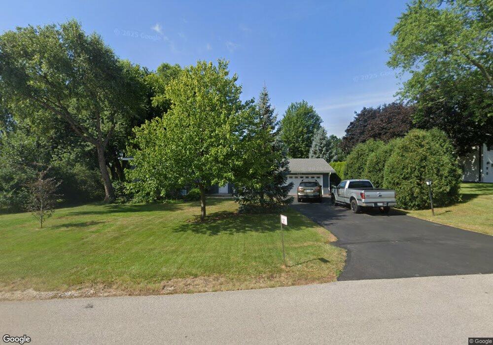
521 E Monterey Ave Schaumburg, IL 60193
South Schaumburg NeighborhoodEstimated Value: $419,000 - $464,000
3
Beds
2
Baths
1,147
Sq Ft
$387/Sq Ft
Est. Value
About This Home
This home is located at 521 E Monterey Ave, Schaumburg, IL 60193 and is currently estimated at $443,816, approximately $386 per square foot. 521 E Monterey Ave is a home located in Cook County with nearby schools including Frederick Nerge Elementary School, Margaret Mead Junior High School, and J B Conant High School.
Ownership History
Date
Name
Owned For
Owner Type
Purchase Details
Closed on
Apr 14, 2022
Sold by
Jezior Mark J and Jezior Y
Bought by
Jezior Mark J and Mark J Jezior Revocable Trust
Current Estimated Value
Purchase Details
Closed on
Mar 9, 2022
Sold by
Jezior Mark J and Jezior Y
Bought by
Mark J Jezior Revocable Trust and Mark J Jezior Revocable Trust
Purchase Details
Closed on
Aug 23, 2016
Sold by
Jezior Walter J
Bought by
Jezior Mark J
Purchase Details
Closed on
Mar 8, 2006
Sold by
Jezior Walter J and Jezior Mary Louise
Bought by
Jezior Walter J and Jezior Mary Louis
Create a Home Valuation Report for This Property
The Home Valuation Report is an in-depth analysis detailing your home's value as well as a comparison with similar homes in the area
Home Values in the Area
Average Home Value in this Area
Purchase History
| Date | Buyer | Sale Price | Title Company |
|---|---|---|---|
| Jezior Mark J | -- | -- | |
| Mark J Jezior Revocable Trust | -- | None Listed On Document | |
| Jezior Mark J | -- | None Available | |
| Jezior Walter J | -- | None Available |
Source: Public Records
Tax History Compared to Growth
Tax History
| Year | Tax Paid | Tax Assessment Tax Assessment Total Assessment is a certain percentage of the fair market value that is determined by local assessors to be the total taxable value of land and additions on the property. | Land | Improvement |
|---|---|---|---|---|
| 2024 | $8,671 | $34,000 | $10,246 | $23,754 |
| 2023 | $8,356 | $34,000 | $10,246 | $23,754 |
| 2022 | $8,356 | $34,000 | $10,246 | $23,754 |
| 2021 | $8,086 | $29,711 | $28,818 | $893 |
| 2020 | $8,006 | $29,711 | $28,818 | $893 |
| 2019 | $7,123 | $29,711 | $28,818 | $893 |
| 2018 | $8,317 | $27,734 | $24,335 | $3,399 |
| 2017 | $8,164 | $27,734 | $24,335 | $3,399 |
| 2016 | $5,653 | $27,734 | $24,335 | $3,399 |
| 2015 | $6,443 | $26,147 | $20,492 | $5,655 |
| 2014 | $6,223 | $26,147 | $20,492 | $5,655 |
| 2013 | $6,212 | $26,147 | $20,492 | $5,655 |
Source: Public Records
Map
Nearby Homes
- 620 S Point Dr
- 426 E Niagara Ave
- 421 E Wise Rd
- 1139 Rothbury Ct
- 1224 Knottingham Ct Unit 1A
- 1100 Boston Harbor Unit 7004
- 124 E Monterey Ave
- 205 Nantucket Harbor Unit 104
- 826 Thornton Ct Unit 2AL
- 833 Thornton Ct Unit 2B
- 1623 Indian Hill Dr
- 1810 Hawk Ln
- 966 Cumberland Ct Unit B2
- 730 Circle Dr
- 1845 Maryland Dr
- 1022 Tennessee Ln
- 916 Manchester Cir Unit 91A
- 126 Manchester Ct Unit 61B
- 1630 Myrtle Park St
- 1630 Myrtle Park St
- 1422 S Monterey Ave
- 515 E Monterey Ave
- 524 E Monterey Ave
- 1432 S Monterey Ave
- 533 Oneida Dr
- 1407 Sunset Dr
- 520 E Monterey Ave
- 1411 Sunset Dr
- 510 E Monterey Ave
- 1433 Blackhawk Dr
- 1421 S Monterey Ave
- 1438 S Monterey Ave
- 1439 Blackhawk Dr
- 534 Oneida Dr
- 1415 Sunset Dr
- 1333 Sunset Dr
- 601 Oneida Dr
- 1425 Blackhawk Dr
- 600 Oneida Dr
- 1504 S Monterey Ave