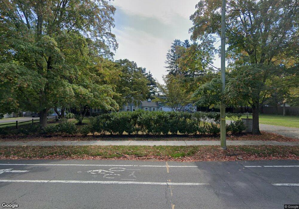
521 Harding Rd Fair Haven, NJ 07704
Estimated Value: $1,312,000 - $1,384,543
4
Beds
3
Baths
2,627
Sq Ft
$519/Sq Ft
Est. Value
About This Home
This home is located at 521 Harding Rd, Fair Haven, NJ 07704 and is currently estimated at $1,362,636, approximately $518 per square foot. 521 Harding Rd is a home located in Monmouth County with nearby schools including Point Road School, Markham Place School, and Red Bank Regional High School.
Ownership History
Date
Name
Owned For
Owner Type
Purchase Details
Closed on
Jun 5, 2009
Sold by
Lamb Gregg and Lamb Meredith
Bought by
Costic Jeffrey and Costic Valerie
Current Estimated Value
Home Financials for this Owner
Home Financials are based on the most recent Mortgage that was taken out on this home.
Original Mortgage
$46,450
Interest Rate
7.64%
Mortgage Type
Unknown
Purchase Details
Closed on
Jul 6, 1999
Sold by
Flinn Eugenia
Bought by
Lamb Gregg and Lamb Meredith
Home Financials for this Owner
Home Financials are based on the most recent Mortgage that was taken out on this home.
Original Mortgage
$280,000
Interest Rate
7.19%
Mortgage Type
Purchase Money Mortgage
Create a Home Valuation Report for This Property
The Home Valuation Report is an in-depth analysis detailing your home's value as well as a comparison with similar homes in the area
Home Values in the Area
Average Home Value in this Area
Purchase History
| Date | Buyer | Sale Price | Title Company |
|---|---|---|---|
| Costic Jeffrey | $465,000 | Stewart Title Guaranty Co | |
| Lamb Gregg | $350,000 | -- |
Source: Public Records
Mortgage History
| Date | Status | Borrower | Loan Amount |
|---|---|---|---|
| Closed | Costic Jeffrey | $46,450 | |
| Open | Costic Jeffrey | $372,000 | |
| Previous Owner | Lamb Gregg | $280,000 |
Source: Public Records
Tax History
| Year | Tax Paid | Tax Assessment Tax Assessment Total Assessment is a certain percentage of the fair market value that is determined by local assessors to be the total taxable value of land and additions on the property. | Land | Improvement |
|---|---|---|---|---|
| 2025 | $14,865 | $1,046,500 | $652,200 | $394,300 |
| 2024 | $14,078 | $880,600 | $515,700 | $364,900 |
Source: Public Records
Map
Nearby Homes
- 194 Heritage Ct
- 91 Forrest Ave
- 94 Park Ave
- 59 Windward Way
- 148 Ambassador Dr Unit 1054/J-2
- 281 Hance Rd
- 126 Tower Hill Dr Unit 205
- 22 Marion St
- 88 Tower Hill Dr
- 98 Manor Dr Unit 907
- 105 Manor Dr Unit 914
- 1 Clifford Graves Ct
- 301 Spring St Unit 19
- 39 Manor Dr Unit 39
- 492 Hance Rd
- 349 River Rd
- 87 Rumson Rd
- 23 Haddon Park
- 152 Manor Dr Unit 1408
- 278 Spring St
- 3 Harrison Ave
- 505 Harding Rd
- 260 Clearbrook Ct
- 527 Harding Rd
- 258 Clearbrook Ct Unit 258
- 518 Harding Rd
- 264 Clearbrook Ct
- 262 Clearbrook Ct
- 256 Clearbrook Ct
- 254 Clearbrook Ct
- 500 Harding Rd
- 252 Clearbrook Ct Unit 1
- 266 Clearbrook Ct Unit C
- 14 Charles Ct
- 268 Clearbrook Ct
- 491 Harding Rd
- 282 Clearbrook Ct
- 280 Clearbrook Ct
- 179 Harrison Ave
- 270 Clearbrook Ct
Your Personal Tour Guide
Ask me questions while you tour the home.