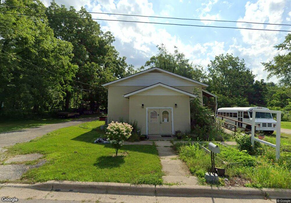
521 Haviland St La Porte, IN 46350
Estimated Value: $203,000 - $234,784
--
Bed
1
Bath
1,620
Sq Ft
$134/Sq Ft
Est. Value
About This Home
This home is located at 521 Haviland St, La Porte, IN 46350 and is currently estimated at $216,446, approximately $133 per square foot. 521 Haviland St is a home located in LaPorte County with nearby schools including Riley Elementary School, La Porte High School, and St. Joseph's School.
Ownership History
Date
Name
Owned For
Owner Type
Purchase Details
Closed on
Jul 18, 2017
Sold by
Faith Community Church
Bought by
Ford Easmon Jon
Current Estimated Value
Purchase Details
Closed on
Sep 23, 2008
Sold by
Christ Gospel Churches International Inc
Bought by
Faith Community Church
Home Financials for this Owner
Home Financials are based on the most recent Mortgage that was taken out on this home.
Original Mortgage
$63,765
Interest Rate
6.52%
Mortgage Type
Commercial
Create a Home Valuation Report for This Property
The Home Valuation Report is an in-depth analysis detailing your home's value as well as a comparison with similar homes in the area
Home Values in the Area
Average Home Value in this Area
Purchase History
| Date | Buyer | Sale Price | Title Company |
|---|---|---|---|
| Ford Easmon Jon | -- | None Available | |
| Faith Community Church | -- | Chicago Title Insurance Co |
Source: Public Records
Mortgage History
| Date | Status | Borrower | Loan Amount |
|---|---|---|---|
| Previous Owner | Faith Community Church | $63,765 |
Source: Public Records
Tax History Compared to Growth
Tax History
| Year | Tax Paid | Tax Assessment Tax Assessment Total Assessment is a certain percentage of the fair market value that is determined by local assessors to be the total taxable value of land and additions on the property. | Land | Improvement |
|---|---|---|---|---|
| 2024 | $1,459 | $154,800 | $43,300 | $111,500 |
| 2023 | $1,380 | $138,000 | $36,100 | $101,900 |
| 2022 | $588 | $63,100 | $18,200 | $44,900 |
| 2021 | $561 | $59,200 | $18,200 | $41,000 |
| 2020 | $412 | $59,200 | $18,200 | $41,000 |
| 2019 | $461 | $44,900 | $19,600 | $25,300 |
| 2018 | $762 | $38,100 | $15,200 | $22,900 |
| 2017 | $0 | $116,800 | $49,100 | $67,700 |
| 2016 | $0 | $119,400 | $49,100 | $70,300 |
| 2014 | -- | $138,200 | $65,500 | $72,700 |
Source: Public Records
Map
Nearby Homes
- 718 Lakeside St
- 0 W 450 St N Unit NRA827579
- 0 Pawnee Trail Unit NRA824498
- 0 N Fox Hollow Dr Unit NRA820085
- 0 N Fox Hollow Dr Unit NRA820084
- 6877 N Nature Ln
- 3847 S Arrowhead Ln
- 0 N Us Hwy 35 Unit NRA809471
- 0 W Lot 38 Malaga Dr Unit NRA809384
- 0 W Lot 81 Concord Dr Unit NRA809376
- 6850 N Nature Ln
- 842-Lot 59 W Broken Arrow Dr
- 3069 N Morning Glory Ave
- 3067 N Morning Glory Ave
- 0 N 400 W Unit NRA544762
- 245 Pine Lake Ave
- 169 W Mcclung Rd Unit 301
- 169 W Mcclung Rd Unit 204
- 169 W Mcclung Rd Unit 203
- 125 W Mcclung Rd
- 533 Haviland St
- 518 Home St
- 127 E Shore Pkwy Unit A
- 127 E Shore Pkwy Unit E
- 125 E Shore Pkwy Unit B
- 125 E Shore Pkwy Unit C
- 125 E Shore Pkwy Unit A
- 127 E Shore Pkwy
- 125 E Shore Pkwy
- 526 Haviland St
- 517 Haviland St
- 535 Haviland St
- 542 Home St
- 516 Home St
- 528 Haviland St
- 540 Home St
- 524 Haviland St
- 530 Haviland St Unit 532
- 512 Home St
- 515 Haviland St