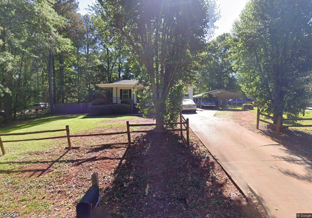
521 Mulberry St Thomaston, GA 30286
Estimated Value: $180,000 - $238,000
3
Beds
2
Baths
1,078
Sq Ft
$184/Sq Ft
Est. Value
About This Home
This home is located at 521 Mulberry St, Thomaston, GA 30286 and is currently estimated at $198,685, approximately $184 per square foot. 521 Mulberry St is a home located in Upson County with nearby schools including Upson-Lee South Elementary School, Upson-Lee North Elementary School, and Upson-Lee Middle School.
Ownership History
Date
Name
Owned For
Owner Type
Purchase Details
Closed on
Sep 24, 2008
Sold by
Not Provided
Bought by
Trammell Donald
Current Estimated Value
Home Financials for this Owner
Home Financials are based on the most recent Mortgage that was taken out on this home.
Original Mortgage
$84,099
Outstanding Balance
$55,736
Interest Rate
6.36%
Mortgage Type
FHA
Estimated Equity
$142,949
Create a Home Valuation Report for This Property
The Home Valuation Report is an in-depth analysis detailing your home's value as well as a comparison with similar homes in the area
Home Values in the Area
Average Home Value in this Area
Purchase History
| Date | Buyer | Sale Price | Title Company |
|---|---|---|---|
| Trammell Donald | $85,000 | -- |
Source: Public Records
Mortgage History
| Date | Status | Borrower | Loan Amount |
|---|---|---|---|
| Open | Trammell Donald | $84,099 |
Source: Public Records
Tax History Compared to Growth
Tax History
| Year | Tax Paid | Tax Assessment Tax Assessment Total Assessment is a certain percentage of the fair market value that is determined by local assessors to be the total taxable value of land and additions on the property. | Land | Improvement |
|---|---|---|---|---|
| 2024 | $1,410 | $58,868 | $8,000 | $50,868 |
| 2023 | $1,414 | $57,024 | $8,000 | $49,024 |
| 2022 | $1,221 | $46,022 | $8,000 | $38,022 |
| 2021 | $1,018 | $40,652 | $8,000 | $32,652 |
| 2020 | $950 | $35,674 | $6,400 | $29,274 |
| 2019 | $955 | $33,154 | $4,000 | $29,154 |
| 2018 | $955 | $33,154 | $4,000 | $29,154 |
| 2017 | $753 | $24,391 | $3,200 | $21,191 |
| 2016 | $742 | $23,695 | $3,200 | $20,495 |
| 2015 | $742 | $23,695 | $3,200 | $20,495 |
| 2014 | $743 | $23,695 | $3,200 | $20,495 |
Source: Public Records
Map
Nearby Homes
- 556 Sunnyland Dr
- 524 Sunnyland Dr
- 216 E Moores Crossing Rd
- 0 W Moores Crossing Rd Unit 10605207
- 2615 Barnesville Hwy
- 1205 Shady Ln
- 115 Hillside Dr
- 657 Tom McKinley Rd
- 2724 Barnesville St
- 201 Creekside Manor Dr
- 101 Pineview Dr
- LOT 193 Morningside Ct
- LOT 195 Morningside Ct
- LOT 194 Morningside Ct
- 508 Heath Dr
- 114 C St NE
- 106 C St NE
- 458 E St
- 3006 Barnesville Hwy
- 113 Park Ln
- 523 Mulberry St
- 530 Dogwood Dr
- 525 Mulberry St
- 534 Dogwood Dr
- 500 Fescue St
- 529 Dogwood Dr
- 564 Meadow Dr Unit 8
- 564 Meadow Dr
- 566 Meadow Dr
- 502 Fescue St
- 535 Dogwood Dr
- 538 Dogwood Dr
- 522 Dogwood Dr
- 501 Fescue St
- 563 Meadow Dr
- 519 Mulberry St
- 568 Meadow Dr
- 568 Meadow Dr Unit 10
- 0 Mulberry St Unit LOT 5 & 6 20019381
- 0 Mulberry St Unit 20174196