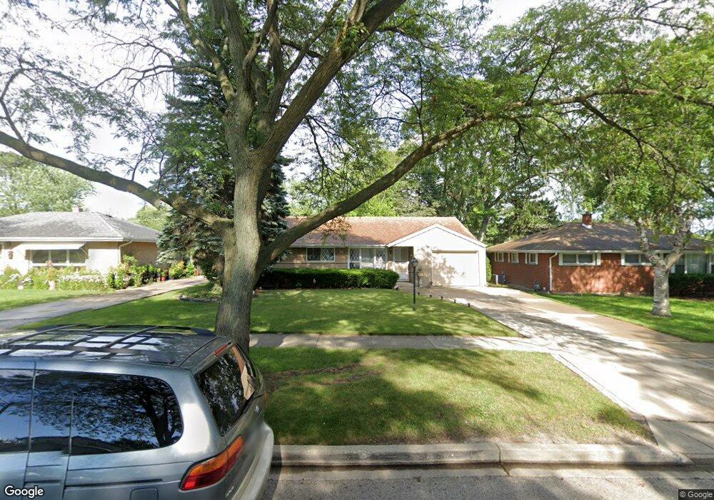
521 N Mcaree Rd Waukegan, IL 60085
West Waukegan NeighborhoodEstimated Value: $252,000 - $268,174
3
Beds
2
Baths
1,281
Sq Ft
$205/Sq Ft
Est. Value
About This Home
This home is located at 521 N Mcaree Rd, Waukegan, IL 60085 and is currently estimated at $262,294, approximately $204 per square foot. 521 N Mcaree Rd is a home located in Lake County with nearby schools including Whittier Elementary School, Robert E. Abbott Middle School, and Waukegan High School.
Ownership History
Date
Name
Owned For
Owner Type
Purchase Details
Closed on
Aug 30, 1996
Sold by
Lachica Charmie D and Lachica Rosana L
Bought by
Moreno Guadalupe and Moreno Florinda
Current Estimated Value
Home Financials for this Owner
Home Financials are based on the most recent Mortgage that was taken out on this home.
Original Mortgage
$92,000
Interest Rate
8.27%
Mortgage Type
Balloon
Create a Home Valuation Report for This Property
The Home Valuation Report is an in-depth analysis detailing your home's value as well as a comparison with similar homes in the area
Home Values in the Area
Average Home Value in this Area
Purchase History
| Date | Buyer | Sale Price | Title Company |
|---|---|---|---|
| Moreno Guadalupe | $115,000 | -- |
Source: Public Records
Mortgage History
| Date | Status | Borrower | Loan Amount |
|---|---|---|---|
| Closed | Moreno Guadalupe | $92,000 |
Source: Public Records
Tax History Compared to Growth
Tax History
| Year | Tax Paid | Tax Assessment Tax Assessment Total Assessment is a certain percentage of the fair market value that is determined by local assessors to be the total taxable value of land and additions on the property. | Land | Improvement |
|---|---|---|---|---|
| 2024 | $5,456 | $73,563 | $14,151 | $59,412 |
| 2023 | $5,259 | $65,861 | $12,669 | $53,192 |
| 2022 | $5,259 | $59,796 | $10,239 | $49,557 |
| 2021 | $5,113 | $55,044 | $9,473 | $45,571 |
| 2020 | $5,133 | $51,280 | $8,825 | $42,455 |
| 2019 | $5,113 | $46,990 | $8,087 | $38,903 |
| 2018 | $4,577 | $41,778 | $10,404 | $31,374 |
| 2017 | $4,404 | $36,962 | $9,205 | $27,757 |
| 2016 | $4,036 | $32,119 | $7,999 | $24,120 |
| 2015 | $3,505 | $28,747 | $7,159 | $21,588 |
| 2014 | $3,499 | $26,219 | $7,769 | $18,450 |
| 2012 | $4,556 | $28,406 | $8,417 | $19,989 |
Source: Public Records
Map
Nearby Homes
- 0 Brookside Ave
- 615 Tiffany Dr
- 2115 Lydia St
- 1213 Grand Ave
- 24 Washington Terrace
- 102 Baldwin Ave
- 621 N Austin Ave
- 1005 N Lewis Ave
- 34887 N Austin Ave
- 603 N Austin Ave
- 1023 N Elmwood Ave
- 132 Dorchester Ct
- 12698 W Grandview Ave
- 2813 Theresa Ave
- 12716 W Grandview Ave
- 3170 W Monroe St Unit 309
- 1038 Indiana Ave
- 968 Judge Ave
- 49 S Lewis Ave
- 824 N Butrick St
- 517 N Mcaree Rd
- 523 N Mcaree Rd
- 511 N Mcaree Rd
- 527 N Mcaree Rd
- 524 Flossmoor Ave
- 516 Flossmoor Ave
- 528 Flossmoor Ave
- 507 N Mcaree Rd
- 510 Flossmoor Ave
- 531 N Mcaree Rd
- 520 N Mcaree Rd
- 516 N Mcaree Rd
- 532 Flossmoor Ave
- 524 N Mcaree Rd
- 504 Flossmoor Ave
- 512 N Mcaree Rd
- 503 N Mcaree Rd
- 528 N Mcaree Rd
- 535 N Mcaree Rd
- 536 Flossmoor Ave