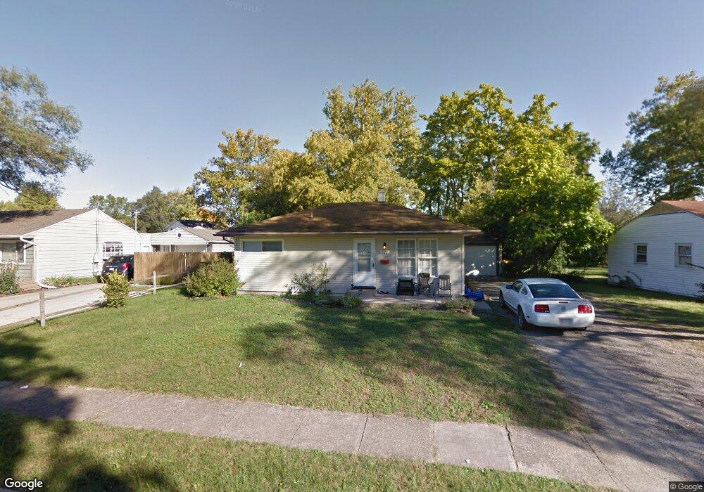
521 N Scott St New Carlisle, OH 45344
Estimated Value: $130,000 - $149,000
3
Beds
1
Bath
840
Sq Ft
$163/Sq Ft
Est. Value
About This Home
This home is located at 521 N Scott St, New Carlisle, OH 45344 and is currently estimated at $136,824, approximately $162 per square foot. 521 N Scott St is a home located in Clark County with nearby schools including New Carlisle Elementary School, Park Layne Elementary School, and Donnelsville Elementary School.
Ownership History
Date
Name
Owned For
Owner Type
Purchase Details
Closed on
Nov 16, 2007
Sold by
Hsbc Bank Usa
Bought by
Newman Scott C
Current Estimated Value
Home Financials for this Owner
Home Financials are based on the most recent Mortgage that was taken out on this home.
Original Mortgage
$45,965
Interest Rate
6.47%
Mortgage Type
Purchase Money Mortgage
Purchase Details
Closed on
Apr 27, 2007
Sold by
Coleman David and Coleman Rachel
Bought by
Hsbc Bank Usa
Purchase Details
Closed on
Feb 23, 2001
Sold by
Brown Melvin L and Brown Ruth E
Bought by
Coleman David and Coleman Rachel
Home Financials for this Owner
Home Financials are based on the most recent Mortgage that was taken out on this home.
Original Mortgage
$72,069
Interest Rate
7.06%
Mortgage Type
Purchase Money Mortgage
Purchase Details
Closed on
Oct 19, 1992
Create a Home Valuation Report for This Property
The Home Valuation Report is an in-depth analysis detailing your home's value as well as a comparison with similar homes in the area
Home Values in the Area
Average Home Value in this Area
Purchase History
| Date | Buyer | Sale Price | Title Company |
|---|---|---|---|
| Newman Scott C | $31,500 | Resource Title Of Cincinnati | |
| Hsbc Bank Usa | $61,115 | Areawide Title | |
| Coleman David | $70,000 | -- | |
| -- | $46,900 | -- |
Source: Public Records
Mortgage History
| Date | Status | Borrower | Loan Amount |
|---|---|---|---|
| Closed | Newman Scott C | $45,965 | |
| Previous Owner | Coleman David | $72,069 |
Source: Public Records
Tax History Compared to Growth
Tax History
| Year | Tax Paid | Tax Assessment Tax Assessment Total Assessment is a certain percentage of the fair market value that is determined by local assessors to be the total taxable value of land and additions on the property. | Land | Improvement |
|---|---|---|---|---|
| 2024 | $1,474 | $28,320 | $7,130 | $21,190 |
| 2023 | $1,474 | $28,320 | $7,130 | $21,190 |
| 2022 | $1,476 | $28,320 | $7,130 | $21,190 |
| 2021 | $1,403 | $23,800 | $5,480 | $18,320 |
| 2020 | $1,406 | $23,800 | $5,480 | $18,320 |
| 2019 | $1,429 | $23,800 | $5,480 | $18,320 |
| 2018 | $1,116 | $17,130 | $6,770 | $10,360 |
| 2017 | $1,042 | $20,083 | $6,769 | $13,314 |
| 2016 | $1,036 | $20,083 | $6,769 | $13,314 |
| 2015 | $1,153 | $19,275 | $7,126 | $12,149 |
| 2014 | $571 | $19,275 | $7,126 | $12,149 |
| 2013 | $1,144 | $19,275 | $7,126 | $12,149 |
Source: Public Records
Map
Nearby Homes
- 202 Fenwick Dr
- 906 N Scott St
- 315 N Main St
- 1204 N Scott St
- 211 N Clay St
- 315 Fenwick Dr
- 203 Monroe Way
- 201 Lightfoot Ct
- 419 Falcon Dr
- 519 Brubaker Dr
- 209 Lightfoot Ct
- 216 Lightfoot Ct
- 1212 N Scott St
- 1206 N Scott St
- 1205 N Scott St
- 1209 N Scott St
- 1210 N Scott St
- 213 Lightfoot Ct
- 805 Brookfield Dr
- 609 Brubaker Dr
- 523 N Scott St
- 519 N Scott St
- 517 Scott Cir
- 525 N Scott St
- 518 N Scott St
- 516 N Scott St
- 515 Scott Cir
- 520 N Scott St
- 527 N Scott St
- 522 N Scott St
- 514 N Scott St
- 212 Funston Ave
- 210 Funston Ave
- 208 Funston Ave
- 206 Funston Ave
- 507 N Scott St
- 524 N Scott St
- 204 Funston Ave
- 214 Funston Ave
- 513 Scott Cir