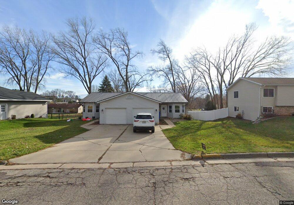
521 Naragansett Ave Baraboo, WI 53913
Estimated Value: $277,000 - $325,000
3
Beds
2
Baths
2,100
Sq Ft
$146/Sq Ft
Est. Value
About This Home
This home is located at 521 Naragansett Ave, Baraboo, WI 53913 and is currently estimated at $305,667, approximately $145 per square foot. 521 Naragansett Ave is a home located in Sauk County with nearby schools including Baraboo High School, St. Joseph Catholic School, and St. John's Lutheran School.
Ownership History
Date
Name
Owned For
Owner Type
Purchase Details
Closed on
Nov 14, 2005
Sold by
Padley Donald J
Bought by
Quandt Frederick C and Quandt Jill A
Current Estimated Value
Home Financials for this Owner
Home Financials are based on the most recent Mortgage that was taken out on this home.
Original Mortgage
$133,000
Outstanding Balance
$72,873
Interest Rate
6.04%
Mortgage Type
New Conventional
Estimated Equity
$232,794
Create a Home Valuation Report for This Property
The Home Valuation Report is an in-depth analysis detailing your home's value as well as a comparison with similar homes in the area
Home Values in the Area
Average Home Value in this Area
Purchase History
| Date | Buyer | Sale Price | Title Company |
|---|---|---|---|
| Quandt Frederick C | $140,000 | None Available |
Source: Public Records
Mortgage History
| Date | Status | Borrower | Loan Amount |
|---|---|---|---|
| Open | Quandt Frederick C | $133,000 |
Source: Public Records
Tax History Compared to Growth
Tax History
| Year | Tax Paid | Tax Assessment Tax Assessment Total Assessment is a certain percentage of the fair market value that is determined by local assessors to be the total taxable value of land and additions on the property. | Land | Improvement |
|---|---|---|---|---|
| 2024 | $1,892 | $161,700 | $25,400 | $136,300 |
| 2023 | $1,801 | $161,700 | $25,400 | $136,300 |
| 2022 | $3,627 | $161,700 | $25,400 | $136,300 |
| 2021 | $3,539 | $161,700 | $25,400 | $136,300 |
| 2020 | $3,474 | $133,800 | $12,400 | $121,400 |
| 2019 | $3,319 | $133,800 | $12,400 | $121,400 |
| 2018 | $3,267 | $133,800 | $12,400 | $121,400 |
| 2017 | $3,215 | $133,800 | $12,400 | $121,400 |
| 2016 | $3,057 | $133,800 | $12,400 | $121,400 |
| 2015 | $3,015 | $133,800 | $12,400 | $121,400 |
| 2014 | $3,029 | $133,800 | $12,400 | $121,400 |
Source: Public Records
Map
Nearby Homes
- 633 Naragansett Ave
- 887 Iroquois Cir
- L52 Draper St
- 604 9th Ave
- 1326 Ash St
- 625 9th Ave
- 116 9th Ave
- 327 8th Ave
- 326 7th Ave
- 420 14th St
- 421 Roblee Rd
- 59.04 County Rd W
- 315 10th St
- E11220 Birnam Woods Rd
- 242 Berkley Blvd
- 327 5th Ave
- 616 West St
- 80.68 Acres Fox Hill Rd
- 36.2A Fox Hill Rd
- 35.57 Fox Hill Rd
- 519/521 Naragansett Ave
- 519 Naragansett Ave
- 513 Naragansett Ave
- 525 Naragansett Ave
- 520 Madison Ave
- 512 Madison Ave
- 509 Naragansett Ave
- 533 Naragansett Ave
- 520 Naragansett Ave
- 528 Madison Ave
- 514 Naragansett Ave
- 526 Naragansett Ave
- 1921 Crawford St
- 508 Naragansett Ave
- 504 Madison Ave
- 534 Naragansett Ave
- 603 Naragansett Ave
- 606 Madison Ave
- 502 Naragansett Ave
- 602 Naragansett Ave