Estimated Value: $444,000 - $822,857
5
Beds
4
Baths
4,390
Sq Ft
$154/Sq Ft
Est. Value
About This Home
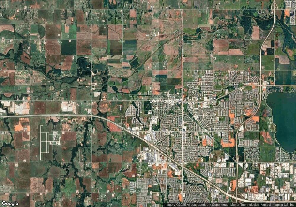
This home is located at 521 NW Lainey Ln, Yukon, OK 73099 and is currently estimated at $677,286, approximately $154 per square foot. 521 NW Lainey Ln is a home with nearby schools including Central Elementary School, Independence Elementary School, and Yukon Middle School.
Ownership History
Date
Name
Owned For
Owner Type
Purchase Details
Closed on
Aug 17, 2020
Sold by
Sharp Ronald Joe and Sharp Anna Louise
Bought by
Tate William Travis and Tate Samantha Paige
Current Estimated Value
Purchase Details
Closed on
Dec 12, 2018
Sold by
Brandt Mark J and Brandt Debbie K
Bought by
Sharp Ronald Joe and Sharp Anna Louise
Home Financials for this Owner
Home Financials are based on the most recent Mortgage that was taken out on this home.
Original Mortgage
$100,000
Interest Rate
4.9%
Mortgage Type
New Conventional
Purchase Details
Closed on
Dec 13, 2016
Sold by
Butte Land Investments Llc
Bought by
Brandt Mark J and Brandt Debbie K
Home Financials for this Owner
Home Financials are based on the most recent Mortgage that was taken out on this home.
Original Mortgage
$78,000
Interest Rate
3.54%
Mortgage Type
Commercial
Create a Home Valuation Report for This Property
The Home Valuation Report is an in-depth analysis detailing your home's value as well as a comparison with similar homes in the area
Home Values in the Area
Average Home Value in this Area
Purchase History
| Date | Buyer | Sale Price | Title Company |
|---|---|---|---|
| Tate William Travis | $128,500 | American Eagle Ttl Group Llc | |
| Sharp Ronald Joe | $125,000 | American Eagle Title Group | |
| Brandt Mark J | $97,500 | American Eagle Title Group |
Source: Public Records
Mortgage History
| Date | Status | Borrower | Loan Amount |
|---|---|---|---|
| Previous Owner | Sharp Ronald Joe | $100,000 | |
| Previous Owner | Brandt Mark J | $78,000 |
Source: Public Records
Tax History Compared to Growth
Tax History
| Year | Tax Paid | Tax Assessment Tax Assessment Total Assessment is a certain percentage of the fair market value that is determined by local assessors to be the total taxable value of land and additions on the property. | Land | Improvement |
|---|---|---|---|---|
| 2024 | $1,413 | $93,923 | $12,884 | $81,039 |
| 2023 | $1,413 | $11,723 | $11,723 | -- |
| 2022 | $1,420 | $11,723 | $11,723 | $0 |
| 2021 | $1,413 | $11,723 | $11,723 | $0 |
| 2020 | $1,401 | $11,723 | $11,723 | $0 |
| 2019 | $1,402 | $11,723 | $11,723 | $0 |
| 2018 | $1,403 | $11,723 | $11,723 | $0 |
| 2017 | $1,397 | $11,723 | $11,723 | $0 |
Source: Public Records
Map
Nearby Homes
- 300 S Richland Rd
- 0 SW 15th St Unit 1123910
- 000 SW 15th St
- 501 Bray Ln
- 308 Bray Ln
- 200 Braxton Way
- 405 Braxton Way
- 15821 SW 15th St
- 109 Tralee Ln
- 404 Braxton Way
- 108 Tralee Ln
- 13400 NW 3rd Terrace
- 804 Argos Rd
- 13321 SW 3rd St
- 13325 SW 8th St
- 725 Caladium Dr
- 729 Caladium Dr
- 801 Caladium Dr
- 13312 SW 4th Terrace
- 13317 SW 5th St
- 541 Lainey Ln
- 601 Lainey Ln
- 0 Lainey Ln Unit 921334
- 540 Lainey Ln
- 500 Lainey Ln
- 600 Lainey Ln
- 621 Lainey Ln
- 520 Lainey Ln
- 620 Lainey Ln
- 641 Lainey Ln
- 640 Lainey Ln
- 301 S Richland Rd
- 14900 W Reno Ave
- 600 Linda Ln
- 0 N Richland Rd
- 14501 W Reno Ave
- 0 NW Richland Rd & Reno Ave Unit 921148
- 14401 W Reno Ave
- 14308 W Reno Ave
- 12 N Richland Rd
