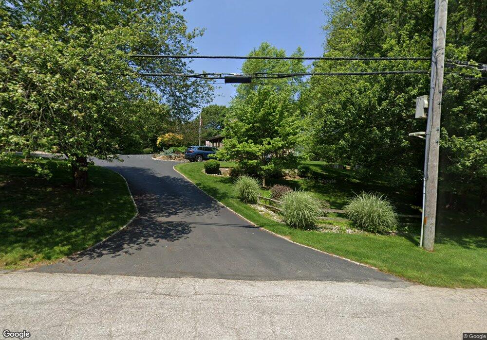
521 Post Rd Wakefield, RI 02879
Estimated Value: $767,000 - $973,000
3
Beds
3
Baths
1,854
Sq Ft
$486/Sq Ft
Est. Value
About This Home
This home is located at 521 Post Rd, Wakefield, RI 02879 and is currently estimated at $900,844, approximately $485 per square foot. 521 Post Rd is a home located in Washington County with nearby schools including South Kingstown High School, Monsignor Matthew Clarke Catholic Regional School, and South Shore School.
Ownership History
Date
Name
Owned For
Owner Type
Purchase Details
Closed on
Oct 24, 2003
Sold by
Doolittle-Rosch Harriet S
Bought by
Templeton Richard K and Templeton Jennifer L
Current Estimated Value
Home Financials for this Owner
Home Financials are based on the most recent Mortgage that was taken out on this home.
Original Mortgage
$302,000
Interest Rate
6.15%
Create a Home Valuation Report for This Property
The Home Valuation Report is an in-depth analysis detailing your home's value as well as a comparison with similar homes in the area
Home Values in the Area
Average Home Value in this Area
Purchase History
| Date | Buyer | Sale Price | Title Company |
|---|---|---|---|
| Templeton Richard K | $377,500 | -- |
Source: Public Records
Mortgage History
| Date | Status | Borrower | Loan Amount |
|---|---|---|---|
| Open | Templeton Richard K | $249,000 | |
| Closed | Templeton Richard K | $302,000 | |
| Previous Owner | Templeton Richard K | $151,200 | |
| Previous Owner | Templeton Richard K | $151,700 |
Source: Public Records
Tax History Compared to Growth
Tax History
| Year | Tax Paid | Tax Assessment Tax Assessment Total Assessment is a certain percentage of the fair market value that is determined by local assessors to be the total taxable value of land and additions on the property. | Land | Improvement |
|---|---|---|---|---|
| 2025 | $7,080 | $791,900 | $338,000 | $453,900 |
| 2024 | $7,501 | $678,800 | $302,500 | $376,300 |
| 2023 | $7,501 | $678,800 | $302,500 | $376,300 |
| 2022 | $7,433 | $678,800 | $302,500 | $376,300 |
| 2021 | $6,807 | $471,100 | $190,200 | $280,900 |
| 2020 | $6,796 | $470,300 | $190,200 | $280,100 |
| 2019 | $6,796 | $470,300 | $190,200 | $280,100 |
| 2018 | $6,819 | $434,900 | $183,200 | $251,700 |
| 2017 | $6,658 | $434,900 | $183,200 | $251,700 |
| 2016 | $6,563 | $434,900 | $183,200 | $251,700 |
| 2015 | $6,031 | $388,600 | $166,600 | $222,000 |
| 2014 | $5,302 | $342,500 | $166,600 | $175,900 |
Source: Public Records
Map
Nearby Homes
- 47 Tuckertown Rd
- 35 Whittier Dr
- 37 Whittier Dr
- 380 Camp Fuller Rd
- 333 South Rd
- 23 Rockland Dr
- 5 Secluded Dr
- 31 Winter St
- 103 Cedar Island Rd
- 98 Meadow Ave
- 2139 Commodore Oliver Hazard Perry Hwy
- 82 Foster Sheldon Rd
- 860 Curtis Corner Rd
- 00 South Rd
- 37 Columbia St
- 10 Hendricks St
- 128 Rodman St
- 40 Wild Rose Ct
- 39 Hazard Ave
- 16 High Tides Ln
- 501 Post Rd
- 509 Post Rd
- 547 Post Rd
- 532 Post Rd
- 481 Post Rd
- 468 Post Rd
- 534 Post Rd
- 591 Post Rd
- 60 Congdon Dr
- 90 Congdon Dr
- 441 Post Rd
- 446 Post Rd
- 111 Congdon Dr
- 0 Congdon Dr
- 0 Calypso Dr W Unit 1206881
- 0 Calypso Dr W Unit 1220865
- 28 Michaela Ct
- 0 Calypso Dr W Unit 1226821
- 562 Post Rd
- 120 Congdon Dr