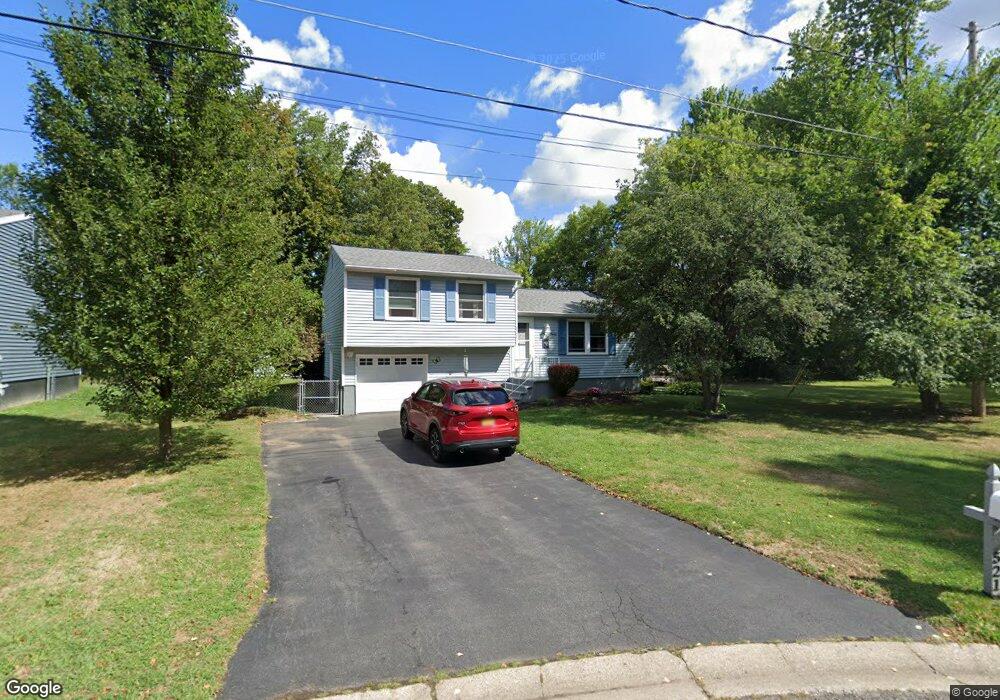
521 Rita Dr Syracuse, NY 13212
Estimated Value: $232,000 - $267,000
3
Beds
1
Bath
1,256
Sq Ft
$194/Sq Ft
Est. Value
About This Home
This home is located at 521 Rita Dr, Syracuse, NY 13212 and is currently estimated at $243,904, approximately $194 per square foot. 521 Rita Dr is a home located in Onondaga County with nearby schools including North Syracuse Junior High School, Cicero-North Syracuse High School, and Little Lamb Christian School.
Ownership History
Date
Name
Owned For
Owner Type
Purchase Details
Closed on
Oct 30, 2009
Sold by
Tulowiecki Andrew
Bought by
Ninno Paul
Current Estimated Value
Purchase Details
Closed on
Jan 17, 2006
Sold by
Diserio Leonard R
Bought by
Tulowiecki Andrew
Purchase Details
Closed on
Aug 22, 2001
Sold by
Gallipeau Maria
Bought by
Diserio Leonard R and Diserio Kay M
Purchase Details
Closed on
Jun 22, 2001
Sold by
Carioti Concetta
Bought by
Guhin Gina M
Purchase Details
Closed on
Jun 21, 2001
Sold by
Carioti James
Bought by
Guhin Gina M
Create a Home Valuation Report for This Property
The Home Valuation Report is an in-depth analysis detailing your home's value as well as a comparison with similar homes in the area
Home Values in the Area
Average Home Value in this Area
Purchase History
| Date | Buyer | Sale Price | Title Company |
|---|---|---|---|
| Ninno Paul | $124,500 | -- | |
| Tulowiecki Andrew | $122,500 | Steven Snyder | |
| Diserio Leonard R | $84,250 | Hardy | |
| Guhin Gina M | -- | -- | |
| Guhin Gina M | -- | -- |
Source: Public Records
Tax History
| Year | Tax Paid | Tax Assessment Tax Assessment Total Assessment is a certain percentage of the fair market value that is determined by local assessors to be the total taxable value of land and additions on the property. | Land | Improvement |
|---|---|---|---|---|
| 2024 | $4,926 | $4,600 | $1,000 | $3,600 |
| 2023 | $4,748 | $4,600 | $1,000 | $3,600 |
| 2022 | $4,842 | $4,600 | $1,000 | $3,600 |
| 2021 | $4,790 | $4,600 | $1,000 | $3,600 |
| 2020 | $3,877 | $4,600 | $1,000 | $3,600 |
| 2019 | $1,812 | $4,600 | $1,000 | $3,600 |
| 2018 | $3,694 | $4,600 | $1,000 | $3,600 |
| 2017 | $1,750 | $4,600 | $1,000 | $3,600 |
| 2016 | $3,553 | $4,600 | $1,000 | $3,600 |
| 2015 | -- | $4,600 | $1,000 | $3,600 |
| 2014 | -- | $4,600 | $1,000 | $3,600 |
Source: Public Records
Map
Nearby Homes
- 7348 Farmstead Rd
- 0 Buckley Rd
- 7369 Cedar Post Rd
- 4986 Surrey Ln
- 4999 Windgate Rd
- 51 Homeland Rd
- 4973 Astilbe Path
- 504 Chestnut St
- 7218 Willow Rd
- 106 Victoria Park Dr
- 131 Hazelhurst Ave
- 305 Hyland Dr
- 4959 Wintersweet Dr
- 4964 Blacksmith Path
- 314 Belmore Dr
- 303 Victoria Park Dr
- 304 Colony Park Dr
- 233 Belmore Dr
- 7641 Windsor Dr N
- 203 Crestwood Dr
Your Personal Tour Guide
Ask me questions while you tour the home.