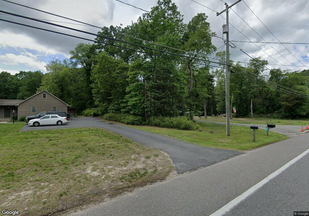
521 Route 539 Cream Ridge, NJ 08514
Estimated Value: $537,000 - $576,359
3
Beds
2
Baths
3,472
Sq Ft
$160/Sq Ft
Est. Value
About This Home
This home is located at 521 Route 539, Cream Ridge, NJ 08514 and is currently estimated at $554,340, approximately $159 per square foot. 521 Route 539 is a home located in Ocean County with nearby schools including Dr. Gerald H. Woehr Elementary School, New Egypt Middle School, and New Egypt High School.
Ownership History
Date
Name
Owned For
Owner Type
Purchase Details
Closed on
Sep 27, 2021
Sold by
Bowen Joseph and Bowen Brittany
Bought by
Petrillo Thomas and Petrillo Rebecca
Current Estimated Value
Home Financials for this Owner
Home Financials are based on the most recent Mortgage that was taken out on this home.
Original Mortgage
$290,000
Outstanding Balance
$264,453
Interest Rate
2.8%
Mortgage Type
New Conventional
Estimated Equity
$289,887
Purchase Details
Closed on
Jul 29, 2019
Sold by
Palumbo Maria
Bought by
Bowen Joseph and Bowen Brittany
Home Financials for this Owner
Home Financials are based on the most recent Mortgage that was taken out on this home.
Original Mortgage
$363,500
Interest Rate
3.82%
Mortgage Type
VA
Purchase Details
Closed on
Oct 15, 2002
Create a Home Valuation Report for This Property
The Home Valuation Report is an in-depth analysis detailing your home's value as well as a comparison with similar homes in the area
Home Values in the Area
Average Home Value in this Area
Purchase History
| Date | Buyer | Sale Price | Title Company |
|---|---|---|---|
| Petrillo Thomas | $430,000 | Foundation Title Llc | |
| Petrillo Thomas | $430,000 | Foundation Title | |
| Bowen Joseph | $363,500 | None Available | |
| -- | $200,000 | -- |
Source: Public Records
Mortgage History
| Date | Status | Borrower | Loan Amount |
|---|---|---|---|
| Open | Petrillo Thomas | $290,000 | |
| Closed | Petrillo Thomas | $290,000 | |
| Previous Owner | Bowen Joseph | $363,500 |
Source: Public Records
Tax History Compared to Growth
Tax History
| Year | Tax Paid | Tax Assessment Tax Assessment Total Assessment is a certain percentage of the fair market value that is determined by local assessors to be the total taxable value of land and additions on the property. | Land | Improvement |
|---|---|---|---|---|
| 2025 | $7,743 | $248,900 | $128,500 | $120,400 |
| 2024 | $7,226 | $248,900 | $128,500 | $120,400 |
| 2023 | $6,895 | $248,900 | $128,500 | $120,400 |
| 2022 | $6,895 | $248,900 | $128,500 | $120,400 |
| 2021 | $6,364 | $248,900 | $128,500 | $120,400 |
| 2020 | $6,364 | $248,900 | $128,500 | $120,400 |
| 2019 | $6,364 | $248,900 | $128,500 | $120,400 |
| 2018 | $6,476 | $248,900 | $128,500 | $120,400 |
| 2017 | $6,364 | $248,900 | $128,500 | $120,400 |
| 2016 | $6,272 | $248,900 | $128,500 | $120,400 |
| 2015 | $6,096 | $248,900 | $128,500 | $120,400 |
| 2014 | $5,954 | $248,900 | $128,500 | $120,400 |
Source: Public Records
Map
Nearby Homes
- 510 Pinehurst Rd
- 3 E Caines Dr
- 541 Pinehurst Rd
- 26 N Success Rd
- 254 Lakewood Rd
- 5 Sameera Ct
- 138 Hemlock Dr
- 14 Tanglewood Dr
- 12 Oak Leaf Dr
- 3 Copperfield Dr
- 12 Copperfield Dr
- 9 Copperfield Dr
- 393 E Millstream Rd
- 791 Monmouth Rd
- 9 Main St
- 4 Cranberry Ct
- 10 Postal Rd
- 848 Monmouth Rd
- 113 Highbridge Rd
- 2 Sefel Ave