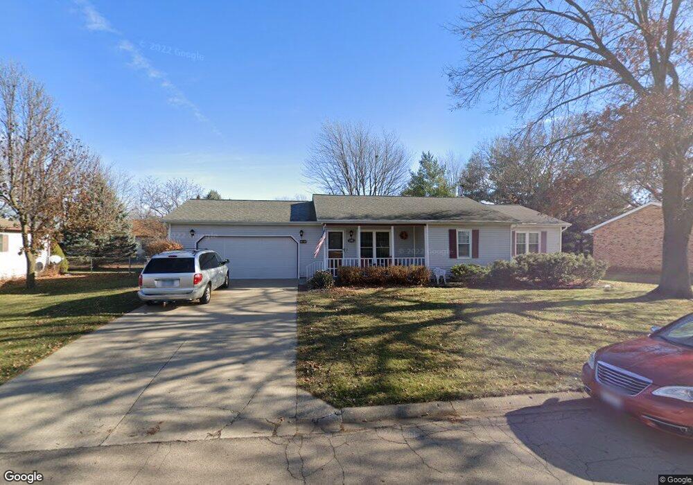
521 S 9th St Princeton, IL 61356
Estimated Value: $175,000 - $225,000
2
Beds
2
Baths
1,400
Sq Ft
$144/Sq Ft
Est. Value
About This Home
This home is located at 521 S 9th St, Princeton, IL 61356 and is currently estimated at $201,469, approximately $143 per square foot. 521 S 9th St is a home located in Bureau County with nearby schools including Lincoln Elementary School, Jefferson Elementary School, and Logan Junior High School.
Ownership History
Date
Name
Owned For
Owner Type
Purchase Details
Closed on
Jul 15, 2010
Sold by
Brock-Jones Richard B and Brock-Jones Elizabeth A
Bought by
Hale Richard and Hale Inez
Current Estimated Value
Purchase Details
Closed on
Apr 5, 2006
Sold by
Anderson Richard D and Anderson Norman N
Bought by
Brock Jones Richard B and Brock Jones Elizabeth A
Home Financials for this Owner
Home Financials are based on the most recent Mortgage that was taken out on this home.
Original Mortgage
$100,000
Interest Rate
6.48%
Mortgage Type
New Conventional
Create a Home Valuation Report for This Property
The Home Valuation Report is an in-depth analysis detailing your home's value as well as a comparison with similar homes in the area
Home Values in the Area
Average Home Value in this Area
Purchase History
| Date | Buyer | Sale Price | Title Company |
|---|---|---|---|
| Hale Richard | $130,000 | None Available | |
| Brock Jones Richard B | $130,000 | None Available |
Source: Public Records
Mortgage History
| Date | Status | Borrower | Loan Amount |
|---|---|---|---|
| Previous Owner | Brock Jones Richard B | $100,000 |
Source: Public Records
Tax History Compared to Growth
Tax History
| Year | Tax Paid | Tax Assessment Tax Assessment Total Assessment is a certain percentage of the fair market value that is determined by local assessors to be the total taxable value of land and additions on the property. | Land | Improvement |
|---|---|---|---|---|
| 2024 | $2,590 | $54,008 | $9,033 | $44,975 |
| 2023 | $2,590 | $49,740 | $8,319 | $41,421 |
| 2022 | $2,611 | $46,635 | $7,800 | $38,835 |
| 2021 | $2,697 | $44,146 | $7,384 | $36,762 |
| 2020 | $2,713 | $42,530 | $7,114 | $35,416 |
| 2019 | $2,756 | $42,022 | $7,029 | $34,993 |
| 2018 | $2,752 | $41,304 | $6,909 | $34,395 |
| 2017 | $2,803 | $41,453 | $6,934 | $34,519 |
| 2016 | $2,708 | $40,371 | $6,753 | $33,618 |
| 2015 | -- | $33,030 | $0 | $33,030 |
| 2014 | -- | $39,665 | $6,635 | $33,030 |
| 2013 | -- | $39,880 | $6,671 | $33,209 |
Source: Public Records
Map
Nearby Homes
- 625 S 5th Avenue Dr
- 32 S Dallas St
- 525 E Marion St
- 465 Prouty Dr
- 443 E Peru St
- 725 Independence Dr
- 305 S Chestnut St
- 1307 S Euclid Ave
- 20 S Church St
- 319 N Chestnut St
- 210 N Church St
- 405 N Church St
- 310 S Pleasant St
- 1428 S Church St
- 221 W Peru St
- 919 N Euclid Ave
- 9 S Randolph St
- 702 N Vernon St
- 215 N Randolph St
- 311 W Franklin St