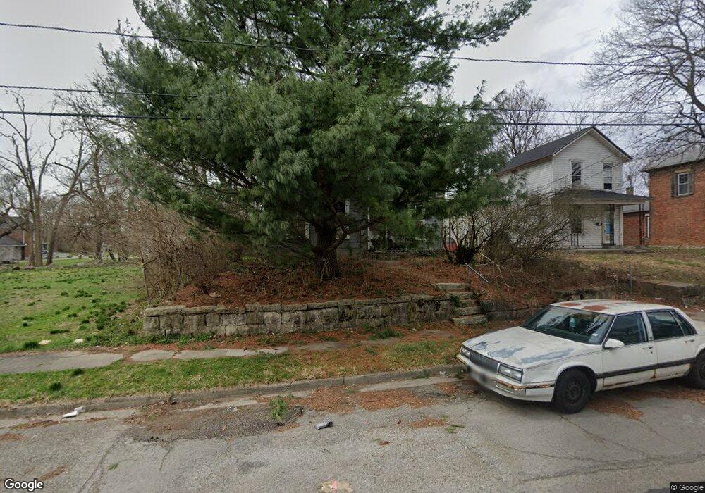
521 Scott St Springfield, OH 45505
Estimated Value: $54,000 - $133,000
3
Beds
1
Bath
1,618
Sq Ft
$53/Sq Ft
Est. Value
About This Home
This home is located at 521 Scott St, Springfield, OH 45505 and is currently estimated at $86,317, approximately $53 per square foot. 521 Scott St is a home located in Clark County with nearby schools including Lincoln Elementary School, Hayward Middle School, and Springfield High School.
Ownership History
Date
Name
Owned For
Owner Type
Purchase Details
Closed on
Jan 18, 2001
Sold by
Martindale Jeffery A
Bought by
Tackett James and Tackett Jeanne E
Current Estimated Value
Home Financials for this Owner
Home Financials are based on the most recent Mortgage that was taken out on this home.
Original Mortgage
$30,000
Outstanding Balance
$10,557
Interest Rate
7.43%
Mortgage Type
Purchase Money Mortgage
Estimated Equity
$75,760
Create a Home Valuation Report for This Property
The Home Valuation Report is an in-depth analysis detailing your home's value as well as a comparison with similar homes in the area
Home Values in the Area
Average Home Value in this Area
Purchase History
| Date | Buyer | Sale Price | Title Company |
|---|---|---|---|
| Tackett James | $27,000 | -- |
Source: Public Records
Mortgage History
| Date | Status | Borrower | Loan Amount |
|---|---|---|---|
| Open | Tackett James | $30,000 |
Source: Public Records
Tax History
| Year | Tax Paid | Tax Assessment Tax Assessment Total Assessment is a certain percentage of the fair market value that is determined by local assessors to be the total taxable value of land and additions on the property. | Land | Improvement |
|---|---|---|---|---|
| 2025 | $118 | $17,060 | $2,000 | $15,060 |
| 2024 | $145 | $12,180 | $1,690 | $10,490 |
| 2023 | $145 | $12,180 | $1,690 | $10,490 |
| 2022 | $169 | $12,180 | $1,690 | $10,490 |
| 2021 | $84 | $10,320 | $1,430 | $8,890 |
| 2020 | $84 | $10,320 | $1,430 | $8,890 |
| 2019 | $84 | $10,320 | $1,430 | $8,890 |
| 2018 | $64 | $9,890 | $1,430 | $8,460 |
| 2017 | $64 | $9,895 | $1,432 | $8,463 |
| 2016 | $64 | $9,895 | $1,432 | $8,463 |
| 2015 | $145 | $11,295 | $1,432 | $9,863 |
| 2014 | $144 | $11,295 | $1,432 | $9,863 |
| 2013 | $143 | $11,295 | $1,432 | $9,863 |
Source: Public Records
Map
Nearby Homes
- 418 Linden Ave
- 625 Tibbetts Ave
- 638 Clifton Ave
- 705 York St
- 411 S Limestone St
- 441 E Euclid Ave
- 1008 Tibbetts Ave
- 907-913 S Limestone St
- 205 E Grand Ave
- 453 E Pleasant St
- 652 E Southern Ave
- 920 Elder St
- 1301-1303 Clifton Ave
- 702 S Wittenberg Ave
- 38 W High St Unit 3B
- 550 E Rose St
- 920 Oak St
- 209 W Liberty St
- 1417 Clifton Ave Unit 1419
- 0 W Perrin Ave Unit 1043508
- 517 Scott St
- 527 Scott St
- 531 Scott St
- 511 Scott St
- 533 Scott St
- 522 Linden Ave Unit 524
- 603 Scott St Unit 605
- 509 Scott St
- 528 Linden Ave Unit 530
- 518 Linden Ave Unit 520
- 516 Linden Ave
- 505 Scott St
- 607 Scott St
- 520 Scott St
- 526 Scott St
- 516 Scott St Unit 518
- 501 Scott St
- 506 Scott St Unit 508
- 514 Scott St
- 611 Scott St
Your Personal Tour Guide
Ask me questions while you tour the home.