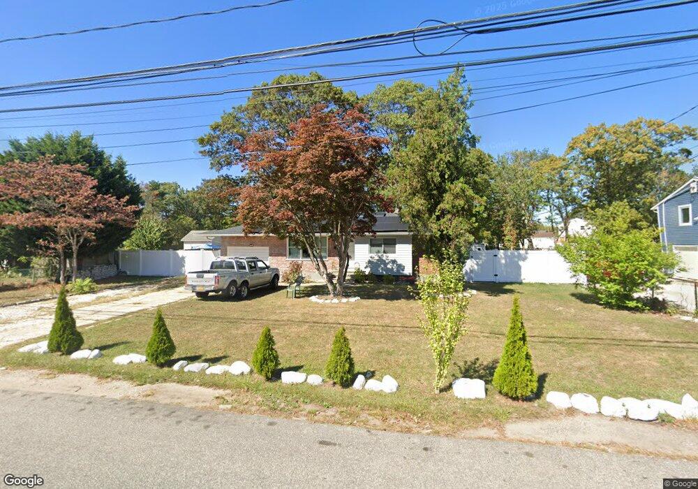
521 Spur Dr N Bay Shore, NY 11706
Estimated Value: $553,000 - $591,000
3
Beds
1
Bath
969
Sq Ft
$591/Sq Ft
Est. Value
About This Home
This home is located at 521 Spur Dr N, Bay Shore, NY 11706 and is currently estimated at $573,124, approximately $591 per square foot. 521 Spur Dr N is a home located in Suffolk County with nearby schools including Mary G Clarkson School, South Country Elementary School, and Bay Shore Middle School.
Ownership History
Date
Name
Owned For
Owner Type
Purchase Details
Closed on
Aug 23, 2017
Sold by
Townsend Regina
Bought by
Benavides Evenor Melgar and Melgar Ruth Markay Galan
Current Estimated Value
Purchase Details
Closed on
Feb 2, 2000
Sold by
Thurman Barbara
Bought by
Townsend Regina
Home Financials for this Owner
Home Financials are based on the most recent Mortgage that was taken out on this home.
Original Mortgage
$121,600
Interest Rate
7.37%
Purchase Details
Closed on
Mar 6, 1997
Sold by
Thurman Barbara
Bought by
Thurman Barbara
Create a Home Valuation Report for This Property
The Home Valuation Report is an in-depth analysis detailing your home's value as well as a comparison with similar homes in the area
Home Values in the Area
Average Home Value in this Area
Purchase History
| Date | Buyer | Sale Price | Title Company |
|---|---|---|---|
| Benavides Evenor Melgar | $280,000 | None Available | |
| Townsend Regina | $128,000 | Fidelity National Title Ins | |
| Thurman Barbara | -- | Fidelity National Title Ins |
Source: Public Records
Mortgage History
| Date | Status | Borrower | Loan Amount |
|---|---|---|---|
| Previous Owner | Townsend Regina | $121,600 |
Source: Public Records
Tax History Compared to Growth
Tax History
| Year | Tax Paid | Tax Assessment Tax Assessment Total Assessment is a certain percentage of the fair market value that is determined by local assessors to be the total taxable value of land and additions on the property. | Land | Improvement |
|---|---|---|---|---|
| 2024 | $8,992 | $35,900 | $10,900 | $25,000 |
| 2023 | $8,992 | $35,900 | $10,900 | $25,000 |
| 2022 | $7,025 | $35,900 | $10,900 | $25,000 |
| 2021 | $7,025 | $35,900 | $10,900 | $25,000 |
| 2020 | $8,382 | $35,900 | $10,900 | $25,000 |
| 2019 | $8,382 | $0 | $0 | $0 |
| 2018 | -- | $35,900 | $10,900 | $25,000 |
| 2017 | $7,118 | $35,900 | $10,900 | $25,000 |
| 2016 | $7,040 | $35,900 | $10,900 | $25,000 |
| 2015 | -- | $35,900 | $10,900 | $25,000 |
| 2014 | -- | $35,900 | $10,900 | $25,000 |
Source: Public Records
Map
Nearby Homes
- 37 Bailey Ave
- 36 Farrington Ave
- 15 Abbey Ln
- 14 Dartmouth Dr
- 1454 E Forks Rd
- 33 Princeton St
- 6 Pinebrook Place Unit 6
- 14 21st Ave
- 18 21st Ave
- 730 Spur Dr N
- 33 Newbrook Ln Unit 33
- 1394 E 3rd Ave
- 35 Newbrook Ln Unit 35
- 120 Cedar Dr
- 15 New York Ave
- 760 Spur Dr N
- 6 William St
- 185 Newbrook Ln Unit 185
- 0 Manatuck Blvd Unit KEY913812
- 1655 Stein Dr