521 Stark Rd Jackson, GA 30233
Estimated Value: $433,298 - $561,000
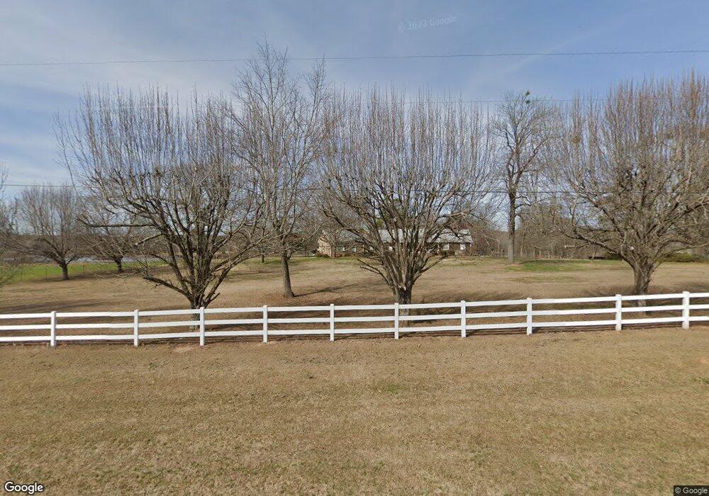
About This Home
This home is located at 521 Stark Rd, Jackson, GA 30233 and is currently estimated at $499,825, approximately $204 per square foot. 521 Stark Rd is a home located in Butts County with nearby schools including Jackson High School.
Ownership History
We collect this data history from publicly available records. To have your information removed, we recommend requesting removal directly through your county’s website.
Purchase Details
Home Financials for this Owner
Home Financials are based on the most recent Mortgage that was taken out on this home.Home Values in the Area
Average Home Value in this Area
Purchase History
We collect this data history from publicly available records. To have your information removed, we recommend requesting removal directly through your county’s website.
| Date | Buyer | Sale Price | Title Company |
|---|---|---|---|
| $260,000 | -- |
Mortgage History
We collect this data history from publicly available records. To have your information removed, we recommend requesting removal directly through your county’s website.
| Date | Status | Borrower | Loan Amount |
|---|---|---|---|
| Open | $208,000 |
Tax History
We collect this data history from publicly available records. To have your information removed, we recommend requesting removal directly through your county’s website.
| Year | Tax Paid | Tax Assessment Tax Assessment Total Assessment is a certain percentage of the fair market value that is determined by local assessors to be the total taxable value of land and additions on the property. | Land | Improvement |
|---|---|---|---|---|
| 2025 | $3,582 | $189,941 | $32,800 | $157,141 |
| 2024 | $3,582 | $189,941 | $32,800 | $157,141 |
| 2023 | $3,760 | $161,342 | $24,000 | $137,342 |
| 2022 | $2,027 | $101,875 | $24,000 | $77,875 |
| 2021 | $2,169 | $101,875 | $24,000 | $77,875 |
| 2020 | $2,249 | $101,875 | $24,000 | $77,875 |
| 2019 | $2,305 | $93,951 | $24,000 | $69,951 |
| 2018 | $1,866 | $89,151 | $24,000 | $65,151 |
| 2017 | $1,779 | $85,422 | $24,000 | $61,422 |
| 2016 | $2,388 | $85,422 | $24,000 | $61,422 |
| 2015 | $1,476 | $85,422 | $24,000 | $61,422 |
| 2014 | $1,479 | $76,933 | $24,000 | $52,933 |
Map
- 149 Woody Rd
- 388 Royal Ct
- 771 Regal Rd
- 241 Four Points Rd
- 0 Bakers Cir Hall Bridge Rd Unit 10699133
- 137 Taylor Rd
- 526 Cotton Dr
- 590 Cotton Dr
- 1262 E Highway 16
- 1603 Highway 16 E
- 457 Stane Brook Ct
- 123 School St
- 263 Stane Brook Ct
- 347 Ww Carr Ave
- 271 Stane Brook Ct
- 243 Glenn St
- 14 Weaver St
- 102 Clarks Ct
- 102 Clarks Ct Unit 96
- 1635 Highway 36 E
- 527 Stark Rd
- 491 Stark Rd
- 581 Stark Rd
- 134 Howard Perdue Rd
- 530 Stark Rd
- 0 Howard Perdue Rd Unit 8799647
- 432 Stark Rd
- 154 Howard Perdue Rd
- 615 Stark Rd
- 152 Howard Perdue Rd
- 278 Biles Rd
- 137 Howard Perdue Rd
- 401 Stark Rd
- 127 Howard Perdue Rd
- 642 Stark Rd
- 281 Moore Rd
- 240B Biles Rd
- 240 Biles Rd
- 240 Biles Rd
- 240 Biles Rd
Ask me questions while you tour the home.