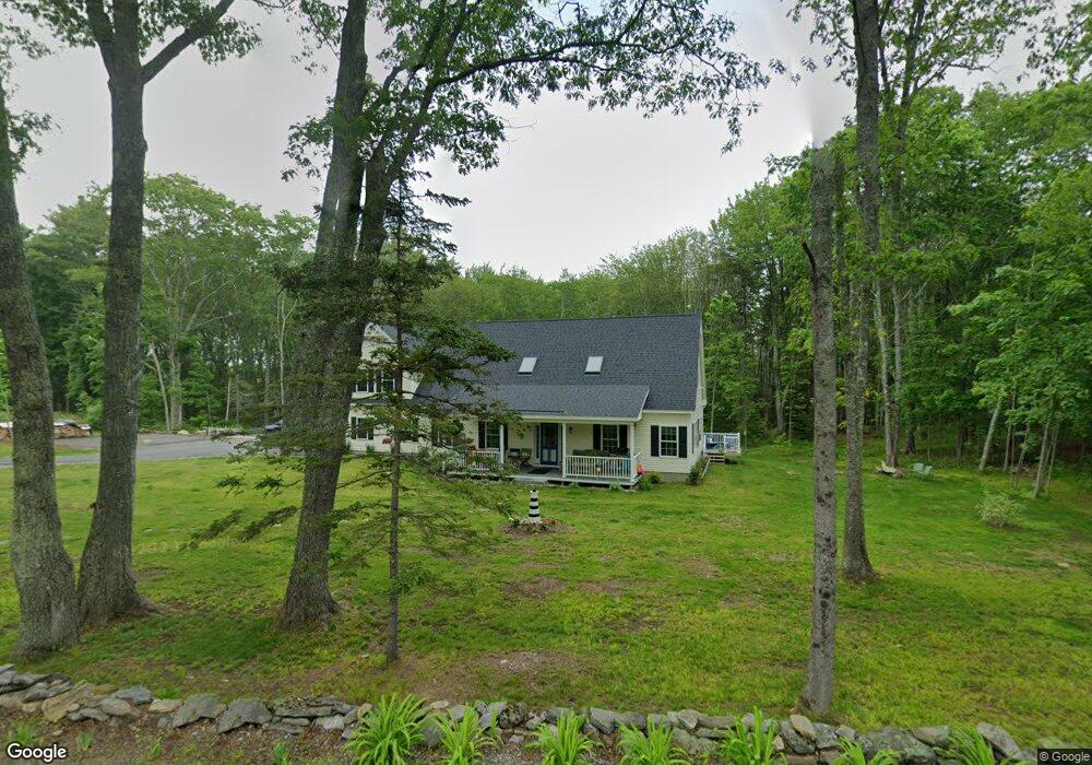
521 State Route 32 Round Pond, ME 04564
Estimated Value: $528,000 - $1,176,000
--
Bed
--
Bath
--
Sq Ft
1.3
Acres
About This Home
This home is located at 521 State Route 32, Round Pond, ME 04564 and is currently estimated at $774,584. 521 State Route 32 is a home with nearby schools including Bristol Consolidated School.
Ownership History
Date
Name
Owned For
Owner Type
Purchase Details
Closed on
Mar 30, 2019
Sold by
Sproul Carlene R
Bought by
Lemieux Daniel N and Lemieux Laurie A
Current Estimated Value
Home Financials for this Owner
Home Financials are based on the most recent Mortgage that was taken out on this home.
Original Mortgage
$20,000
Outstanding Balance
$17,511
Interest Rate
4.3%
Mortgage Type
New Conventional
Estimated Equity
$757,073
Create a Home Valuation Report for This Property
The Home Valuation Report is an in-depth analysis detailing your home's value as well as a comparison with similar homes in the area
Home Values in the Area
Average Home Value in this Area
Purchase History
| Date | Buyer | Sale Price | Title Company |
|---|---|---|---|
| Lemieux Daniel N | -- | -- | |
| Lemieux Daniel N | -- | -- |
Source: Public Records
Mortgage History
| Date | Status | Borrower | Loan Amount |
|---|---|---|---|
| Open | Lemieux Daniel N | $20,000 | |
| Closed | Lemieux Daniel N | $20,000 |
Source: Public Records
Tax History Compared to Growth
Tax History
| Year | Tax Paid | Tax Assessment Tax Assessment Total Assessment is a certain percentage of the fair market value that is determined by local assessors to be the total taxable value of land and additions on the property. | Land | Improvement |
|---|---|---|---|---|
| 2024 | $4,496 | $505,200 | $43,000 | $462,200 |
| 2023 | $3,841 | $483,200 | $43,000 | $440,200 |
| 2022 | $3,479 | $483,200 | $43,000 | $440,200 |
| 2021 | $3,479 | $483,200 | $43,000 | $440,200 |
| 2020 | $418 | $57,700 | $43,000 | $14,700 |
| 2019 | $209 | $31,000 | $31,000 | $0 |
| 2018 | $194 | $31,000 | $31,000 | $0 |
| 2017 | $194 | $31,000 | $31,000 | $0 |
| 2016 | $202 | $25,600 | $25,600 | $0 |
| 2015 | $216 | $25,600 | $25,600 | $0 |
| 2014 | $202 | $25,600 | $25,600 | $0 |
| 2013 | $197 | $25,600 | $25,600 | $0 |
Source: Public Records
Map
Nearby Homes
- 36 Eastwood Ct
- 25 & 26 Maine 32
- 40 Eastwood Ct
- M6l54
- 146 State Route 32
- 147 Maine 32
- 00 Fir Hollow Rd
- 67 Huddle Rd
- 82 Southside Rd
- 0 Lockhart Cove Rd
- 5 Penniman Rd
- M2A-L45B3 Huddle Rd
- 12 Nonesuch Ln
- 2593 Bristol Rd
- Lot 009 Reny Rd
- 145 Huddle Rd
- 69 McFarland Shore Rd
- 31 Viking Way
- 1276 State Route 32
- 359 Lower Round Pond Rd
- 527 State Route 32
- 504 State Route 32
- 544 State Route 32
- 567 State Route 32
- 577 State Route 32
- 578 State Route 32
- 590 State Route 32
- 32 Tibbetts Rd
- 27 Boyntons Rd
- 41 Boynton Rd
- 595 State Route 32
- 469 State Route 32
- 0 Royal Farm Rd Unit 737324
- 0 Royal Farm Rd Unit 1313008
- 0 Royal Farm Rd Unit 1359454
- 0 Royal Farm Rd Unit 1434495
- 6 Kristenbreigh Ln
- 252 Maine 32
- 665 State Route 32
- 259 Foster Rd