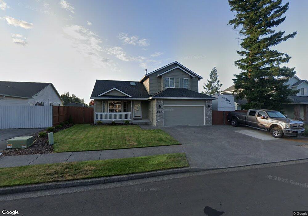
521 SW 25th Cir Troutdale, OR 97060
Sunrise NeighborhoodEstimated Value: $464,000 - $525,000
3
Beds
3
Baths
1,699
Sq Ft
$296/Sq Ft
Est. Value
About This Home
This home is located at 521 SW 25th Cir, Troutdale, OR 97060 and is currently estimated at $502,131, approximately $295 per square foot. 521 SW 25th Cir is a home located in Multnomah County with nearby schools including Sweetbriar Elementary School, Walt Morey Middle School, and Reynolds High School.
Ownership History
Date
Name
Owned For
Owner Type
Purchase Details
Closed on
Apr 28, 2004
Sold by
Williams David W
Bought by
Camp Arthur A and Camp Sonia M
Current Estimated Value
Home Financials for this Owner
Home Financials are based on the most recent Mortgage that was taken out on this home.
Original Mortgage
$167,900
Outstanding Balance
$73,243
Interest Rate
4.62%
Mortgage Type
Purchase Money Mortgage
Estimated Equity
$428,888
Purchase Details
Closed on
Jul 2, 1997
Sold by
Lone Oak Construction Inc
Bought by
Williams David W and Williams Dianna L
Home Financials for this Owner
Home Financials are based on the most recent Mortgage that was taken out on this home.
Original Mortgage
$145,000
Interest Rate
7.92%
Mortgage Type
Purchase Money Mortgage
Purchase Details
Closed on
May 29, 1996
Sold by
Cascade Communities Inc
Bought by
Lone Oak Construction Inc
Create a Home Valuation Report for This Property
The Home Valuation Report is an in-depth analysis detailing your home's value as well as a comparison with similar homes in the area
Home Values in the Area
Average Home Value in this Area
Purchase History
| Date | Buyer | Sale Price | Title Company |
|---|---|---|---|
| Camp Arthur A | $209,900 | Chicago Title Insurance Co | |
| Williams David W | $185,000 | Ticor Title Insurance | |
| Lone Oak Construction Inc | $48,000 | Chicago Title |
Source: Public Records
Mortgage History
| Date | Status | Borrower | Loan Amount |
|---|---|---|---|
| Open | Camp Arthur A | $167,900 | |
| Previous Owner | Williams David W | $145,000 | |
| Closed | Camp Arthur A | $31,500 |
Source: Public Records
Tax History Compared to Growth
Tax History
| Year | Tax Paid | Tax Assessment Tax Assessment Total Assessment is a certain percentage of the fair market value that is determined by local assessors to be the total taxable value of land and additions on the property. | Land | Improvement |
|---|---|---|---|---|
| 2025 | $5,452 | $295,790 | -- | -- |
| 2024 | $5,152 | $287,180 | -- | -- |
| 2023 | $5,016 | $278,820 | $0 | $0 |
| 2022 | $4,896 | $270,700 | $0 | $0 |
| 2021 | $4,782 | $262,820 | $0 | $0 |
| 2020 | $4,473 | $255,170 | $0 | $0 |
| 2019 | $4,293 | $247,740 | $0 | $0 |
| 2018 | $4,264 | $240,530 | $0 | $0 |
| 2017 | $4,255 | $233,530 | $0 | $0 |
| 2016 | $4,113 | $226,730 | $0 | $0 |
| 2015 | $4,010 | $220,130 | $0 | $0 |
| 2014 | $3,880 | $213,720 | $0 | $0 |
Source: Public Records
Map
Nearby Homes
- 665 SW 24th St
- 2511 S Troutdale Rd
- 2020 SW Laura Ct
- 1021 SW 24th St
- 724 SW 28th St
- 2846 SW Faith Ct
- 2154 SE Sandy Ct
- 1427 SW 24th St
- 1330 SW 28th St Unit 1332
- 839 SW Grant Way
- 2326 SW Mcginnis Ave
- 216 SE 34th Cir
- 821 SW 14th St
- 3300 NE 29th St Unit 28
- 3248 NE 29th St Unit 31
- 1226 SW Hensley Rd
- 1019 SE 27th St
- 3240 NE 29th St
- 2521 SE Clark Ct
- 2505 SE Clark Ct
- 499 SW 25th Cir
- 543 SW 25th Cir
- 559 SW 25th Cir
- 457 SW 25th Cir
- 536 SW 25th Cir
- 587 SW 25th Cir
- 460 SW 25th Cir
- 492 SW 25th Cir
- 518 SW 25th Cir
- 558 SW 25th Cir
- 433 SW 25th Cir Unit CR
- 433 SW 25th Cir
- 400 SW 25th Cir
- 564 SW 26th St
- 603 SW 25th Cir
- 444 SW 25th Cir
- 590 SW 25th Cir
- 2438 SW Fox Ln
- 570 SW 26th St