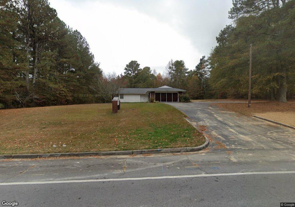
521 Swanson Dr Lawrenceville, GA 30043
Estimated Value: $366,000 - $806,873
--
Bed
--
Bath
2,299
Sq Ft
$255/Sq Ft
Est. Value
About This Home
This home is located at 521 Swanson Dr, Lawrenceville, GA 30043 and is currently estimated at $586,437, approximately $255 per square foot. 521 Swanson Dr is a home located in Gwinnett County with nearby schools including Dyer Elementary School, Twin Rivers Middle School, and Mountain View High School.
Ownership History
Date
Name
Owned For
Owner Type
Purchase Details
Closed on
Sep 28, 2005
Sold by
Robinett Robert A
Bought by
Ajayi Julius O and Ajayi Seyi O
Current Estimated Value
Home Financials for this Owner
Home Financials are based on the most recent Mortgage that was taken out on this home.
Original Mortgage
$306,000
Interest Rate
5.77%
Mortgage Type
Commercial
Purchase Details
Closed on
Nov 4, 2002
Sold by
Fletcher Joel F
Bought by
Robinett Robert A
Home Financials for this Owner
Home Financials are based on the most recent Mortgage that was taken out on this home.
Original Mortgage
$127,500
Interest Rate
6.01%
Mortgage Type
Commercial
Create a Home Valuation Report for This Property
The Home Valuation Report is an in-depth analysis detailing your home's value as well as a comparison with similar homes in the area
Home Values in the Area
Average Home Value in this Area
Purchase History
| Date | Buyer | Sale Price | Title Company |
|---|---|---|---|
| Ajayi Julius O | $360,100 | -- | |
| Robinett Robert A | $125,000 | -- |
Source: Public Records
Mortgage History
| Date | Status | Borrower | Loan Amount |
|---|---|---|---|
| Closed | Ajayi Julius O | $306,000 | |
| Previous Owner | Robinett Robert A | $127,500 |
Source: Public Records
Tax History Compared to Growth
Tax History
| Year | Tax Paid | Tax Assessment Tax Assessment Total Assessment is a certain percentage of the fair market value that is determined by local assessors to be the total taxable value of land and additions on the property. | Land | Improvement |
|---|---|---|---|---|
| 2024 | $5,084 | $130,880 | $98,560 | $32,320 |
| 2023 | $5,084 | $157,600 | $80,800 | $76,800 |
| 2022 | $4,946 | $128,000 | $73,600 | $54,400 |
| 2021 | $5,998 | $155,160 | $128,000 | $27,160 |
| 2020 | $6,034 | $155,160 | $128,000 | $27,160 |
| 2019 | $5,816 | $155,160 | $128,000 | $27,160 |
| 2018 | $3,193 | $80,000 | $64,120 | $15,880 |
| 2016 | $3,210 | $80,000 | $64,120 | $15,880 |
| 2015 | $3,247 | $80,000 | $64,120 | $15,880 |
| 2014 | -- | $80,000 | $64,120 | $15,880 |
Source: Public Records
Map
Nearby Homes
- 1825 Villageside Ct
- 951 Northside Dr
- Bryson Plan at River Walk Place
- Brooks Plan at River Walk Place
- 687 Sunstone Ln
- 693 Sunstone Ln
- 689 Sunstone Ln
- 695 Sunstone Ln
- 662 Sunstone Ln
- 660 Sunstone Ln
- 664 Sunstone Ln
- 658 Sunstone Ln
- 699 Sunstone Ln
- 509 Woodland Ln
- 1148 Woodland Cir
- 531 Shyrewood Dr
- 1230 Rivershyre Pkwy
- 1244 Riverloch Way
- 1054 Sunny Field Ln
- Lot 16 Coronada Dr
- 501 Swanson Dr
- 529 Swanson Dr
- 528 Swanson Dr
- 537 Swanson Dr
- 504 Swanson Dr
- 494 Swanson Dr
- 538 Swanson Dr
- 4840 Swanson Dr
- 834 E Morningside Dr Unit 8
- 834 E Morningside Dr
- 824 E Morningside Dr
- 560 Swanson Dr
- 474 Swanson Dr
- 852 E Morningside Dr
- 464 Swanson Dr
- 0 Swanson Dr Unit 7580380
- 0 Swanson Dr Unit 7602969
- 0 Swanson Dr Unit 8439235
- 0 Swanson Dr Unit 8047588
- 0 Swanson Dr Unit 8845088