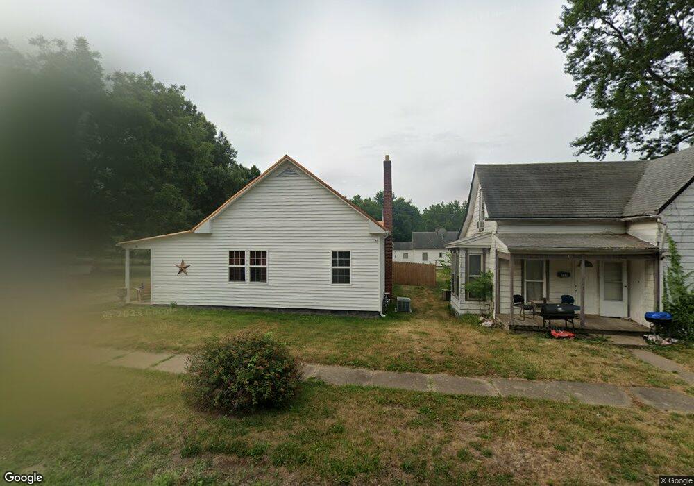
521 W Dake St Brookfield, MO 64628
Estimated Value: $78,500 - $125,000
3
Beds
1
Bath
1,030
Sq Ft
$98/Sq Ft
Est. Value
About This Home
This home is located at 521 W Dake St, Brookfield, MO 64628 and is currently estimated at $101,125, approximately $98 per square foot. 521 W Dake St is a home with nearby schools including Brookfield Elementary School, Brookfield Middle School, and Brookfield High School.
Ownership History
Date
Name
Owned For
Owner Type
Purchase Details
Closed on
Jan 18, 2022
Sold by
Prewitt Jennifer
Bought by
Gaunt Daniel
Current Estimated Value
Purchase Details
Closed on
Sep 16, 2021
Sold by
Carter and Letitia
Bought by
Gaunt Daniel and Prewitt Jennifer
Home Financials for this Owner
Home Financials are based on the most recent Mortgage that was taken out on this home.
Original Mortgage
$27,000
Interest Rate
2.7%
Mortgage Type
Construction
Purchase Details
Closed on
Mar 25, 2005
Bought by
Carter Guy Lane and Carter Bonnie
Create a Home Valuation Report for This Property
The Home Valuation Report is an in-depth analysis detailing your home's value as well as a comparison with similar homes in the area
Home Values in the Area
Average Home Value in this Area
Purchase History
| Date | Buyer | Sale Price | Title Company |
|---|---|---|---|
| Gaunt Daniel | -- | Professional Land Title Co | |
| Gaunt Daniel | $33,750 | -- | |
| Carter Guy Lane | -- | -- |
Source: Public Records
Mortgage History
| Date | Status | Borrower | Loan Amount |
|---|---|---|---|
| Previous Owner | Gaunt Daniel | $27,000 |
Source: Public Records
Tax History
| Year | Tax Paid | Tax Assessment Tax Assessment Total Assessment is a certain percentage of the fair market value that is determined by local assessors to be the total taxable value of land and additions on the property. | Land | Improvement |
|---|---|---|---|---|
| 2025 | $259 | $4,279 | $1,406 | $2,873 |
| 2024 | $3 | $4,142 | $1,406 | $2,736 |
| 2023 | $258 | $4,142 | $1,406 | $2,736 |
| 2022 | $244 | $3,895 | $1,406 | $2,489 |
| 2021 | $235 | $3,895 | $1,406 | $2,489 |
| 2020 | $244 | $3,895 | $1,406 | $2,489 |
| 2019 | $244 | $3,895 | $1,406 | $2,489 |
| 2018 | $247 | $3,952 | $1,406 | $2,546 |
| 2015 | -- | $3,325 | $836 | $2,489 |
| 2011 | -- | $10,500 | $4,400 | $6,100 |
Source: Public Records
Map
Nearby Homes
- 420 Mcgowan St
- 627 Mcgowan St
- 420 Smith St
- 1002 N State St
- 713 Brookfield Ave
- 119 W Dake St
- 1118 Courtland St
- 721 Lincoln St
- 417 Laclede Ave
- 1007 Country Side Dr
- 317 Macon St
- 303 Shelby St
- 117 N Main St
- 419 Nichols St
- 0 S State St
- 304 E Canal St
- 547 Harrison St
- 201 Percy Ln
- 131 Silver Ln
- 21145 Highway 5
- 523 W Dake St
- 515 W Dake St
- 520 W Dake St
- 832 Pettijohn St
- 516 W Dake St
- 845 Strawbridge St
- 837 Strawbridge St
- 831 Strawbridge St
- 502 W Dake St
- 829 Strawbridge St
- 608 W Dake St
- 825 Pettijohn St
- 825 Strawbridge St
- 820 Pettijohn St
- 421 W Dake St
- 823 Strawbridge St
- 523 Mcgowan St
- 921 Strawbridge St
- 838 Strawbridge St
- 420 W Dake St
Your Personal Tour Guide
Ask me questions while you tour the home.