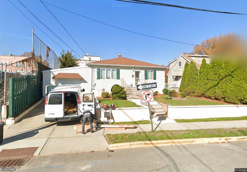
521 Weart Ave Lyndhurst, NJ 07071
Estimated Value: $625,073 - $712,000
--
Bed
--
Bath
1,302
Sq Ft
$512/Sq Ft
Est. Value
About This Home
This home is located at 521 Weart Ave, Lyndhurst, NJ 07071 and is currently estimated at $666,518, approximately $511 per square foot. 521 Weart Ave is a home located in Bergen County with nearby schools including Lyndhurst High School and Sacred Heart School.
Ownership History
Date
Name
Owned For
Owner Type
Purchase Details
Closed on
Oct 30, 2009
Sold by
Pecoraro Paul C and Pecoraro Barbara A
Bought by
Buffa Salvatore and Buffa Vita
Current Estimated Value
Home Financials for this Owner
Home Financials are based on the most recent Mortgage that was taken out on this home.
Original Mortgage
$240,000
Outstanding Balance
$155,585
Interest Rate
4.86%
Mortgage Type
Purchase Money Mortgage
Estimated Equity
$510,933
Purchase Details
Closed on
Nov 11, 1998
Sold by
Longobardo Salvatore and Longobardo Romilda
Bought by
Pecoraro Paul C and Pecoraro Barbara A
Create a Home Valuation Report for This Property
The Home Valuation Report is an in-depth analysis detailing your home's value as well as a comparison with similar homes in the area
Home Values in the Area
Average Home Value in this Area
Purchase History
| Date | Buyer | Sale Price | Title Company |
|---|---|---|---|
| Buffa Salvatore | $410,000 | -- | |
| Pecoraro Paul C | $225,000 | -- |
Source: Public Records
Mortgage History
| Date | Status | Borrower | Loan Amount |
|---|---|---|---|
| Open | Buffa Salvatore | $240,000 |
Source: Public Records
Tax History Compared to Growth
Tax History
| Year | Tax Paid | Tax Assessment Tax Assessment Total Assessment is a certain percentage of the fair market value that is determined by local assessors to be the total taxable value of land and additions on the property. | Land | Improvement |
|---|---|---|---|---|
| 2025 | $10,115 | $490,500 | $326,500 | $164,000 |
| 2024 | $9,758 | $484,900 | $322,700 | $162,200 |
| 2023 | $9,275 | $480,200 | $319,800 | $160,400 |
| 2022 | $9,275 | $292,400 | $188,300 | $104,100 |
| 2021 | $8,272 | $292,400 | $188,300 | $104,100 |
| 2020 | $8,696 | $292,400 | $188,300 | $104,100 |
| 2019 | $8,632 | $292,400 | $188,300 | $104,100 |
| 2018 | $8,702 | $292,400 | $188,300 | $104,100 |
| 2017 | $8,483 | $292,400 | $188,300 | $104,100 |
| 2016 | $8,292 | $292,400 | $188,300 | $104,100 |
| 2015 | $8,032 | $292,400 | $188,300 | $104,100 |
| 2014 | $7,927 | $292,400 | $188,300 | $104,100 |
Source: Public Records
Map
Nearby Homes
- 258 Kingsland Ave
- 614 10th St
- 416 Kingsland Ave
- 609 Chase Ave
- 518 8th St
- 474 Willow Ave
- 175 Page Ave
- 524 Octavia Place
- 168 Forest Ave
- 448 Fern Ave
- 510 Anthony Ct
- 506 Park Place
- 446 Alder St
- 325 Valley Brook Ave
- 307 Jauncey Ave
- 471 Harding Ave
- 138 Fern Ave
- 459 Riverside Ave
- 549-1-551 Laurel Ave
- 748 6th St