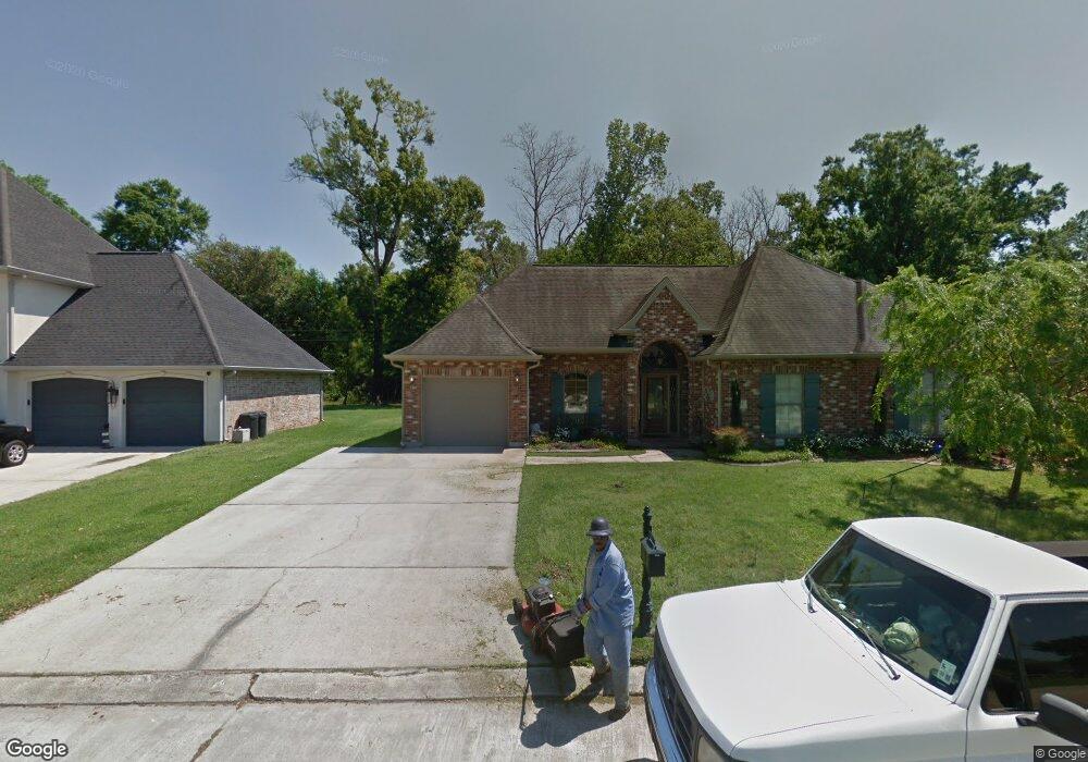
521 Wiegand Dr Westwego, LA 70094
Estimated Value: $245,000 - $328,000
3
Beds
2
Baths
2,052
Sq Ft
$147/Sq Ft
Est. Value
About This Home
This home is located at 521 Wiegand Dr, Westwego, LA 70094 and is currently estimated at $301,048, approximately $146 per square foot. 521 Wiegand Dr is a home located in Jefferson Parish with nearby schools including Mildred S. Harris Elementary School, Ray St. Pierre Academy for Advanced Studies, and L.W. Higgins High School.
Ownership History
Date
Name
Owned For
Owner Type
Purchase Details
Closed on
Jul 23, 2010
Sold by
Persohn William T
Bought by
Massetti Scott G
Current Estimated Value
Home Financials for this Owner
Home Financials are based on the most recent Mortgage that was taken out on this home.
Original Mortgage
$79,000
Outstanding Balance
$52,523
Interest Rate
4.73%
Mortgage Type
New Conventional
Estimated Equity
$248,525
Create a Home Valuation Report for This Property
The Home Valuation Report is an in-depth analysis detailing your home's value as well as a comparison with similar homes in the area
Home Values in the Area
Average Home Value in this Area
Purchase History
| Date | Buyer | Sale Price | Title Company |
|---|---|---|---|
| Massetti Scott G | $254,000 | -- |
Source: Public Records
Mortgage History
| Date | Status | Borrower | Loan Amount |
|---|---|---|---|
| Open | Massetti Scott G | $79,000 |
Source: Public Records
Tax History Compared to Growth
Tax History
| Year | Tax Paid | Tax Assessment Tax Assessment Total Assessment is a certain percentage of the fair market value that is determined by local assessors to be the total taxable value of land and additions on the property. | Land | Improvement |
|---|---|---|---|---|
| 2024 | $5,041 | $26,160 | $4,530 | $21,630 |
| 2023 | $2,559 | $26,160 | $4,530 | $21,630 |
| 2022 | $3,501 | $26,160 | $4,530 | $21,630 |
| 2021 | $3,309 | $26,160 | $4,530 | $21,630 |
| 2020 | $3,287 | $26,160 | $4,530 | $21,630 |
| 2019 | $3,395 | $26,160 | $4,530 | $21,630 |
| 2018 | $2,266 | $26,160 | $4,530 | $21,630 |
| 2017 | $3,063 | $26,160 | $4,530 | $21,630 |
| 2016 | $3,012 | $26,160 | $4,530 | $21,630 |
| 2015 | $2,043 | $25,400 | $3,780 | $21,620 |
| 2014 | $2,043 | $25,400 | $3,780 | $21,620 |
Source: Public Records
Map
Nearby Homes
- 632 Wiegand Dr
- 941 Oak Ave
- 210 Lafitte St
- 1120 Barnes St
- 1037 Hooter Rd
- 4529 River Rd
- 4213 River Rd
- 4533 River Rd
- 107 Jefferson Heights Ave
- 104 Jefferson Heights Ave
- 112 Jefferson Heights Ave
- 204 Dodge Ave
- 171 11th St
- 237 Vinet Ave
- 3422 Daquin St
- 307 Shrewsbury Rd
- 3000 Arlington St
- 315 Shrewsbury Ct
- 1403 Audubon Trace
- 517 Wiegand Dr
- 617 Normandy St
- 700 Normandy St
- LOT 4 Normandy Dr
- LOT 3 Normandy Dr
- 513 Wiegand Dr
- 704 Normandy St
- 520 Wiegand Dr
- 708 Normandy St
- 509 Wiegand Dr
- 684 Normandy St
- 705 Lander St
- 516 Wiegand Dr
- 709 Lander St
- 701 Lander St
- 505 Wiegand Dr
- 713 Lander St
- 712 Normandy St
- 685 Lander St
- 681 Lander St