521 Woodside Ln Branchburg, NJ 08876
Branchburg Township NeighborhoodEstimated Value: $742,500 - $815,000
--
Bed
--
Bath
2,118
Sq Ft
$374/Sq Ft
Est. Value
About This Home
This home is located at 521 Woodside Ln, Branchburg, NJ 08876 and is currently estimated at $792,875, approximately $374 per square foot. 521 Woodside Ln is a home located in Somerset County with nearby schools including Whiton Elementary School, Stony Brook School, and Branchburg Central Middle School.
Ownership History
Date
Name
Owned For
Owner Type
Purchase Details
Closed on
Jun 16, 2014
Sold by
Langbein Thomas A and Langbein Pamela D
Bought by
Langbein Living Trust and Langbein Pamela D
Current Estimated Value
Purchase Details
Closed on
Dec 5, 2009
Sold by
Langbein Thomas and Occhipinti Pamela
Bought by
Langbein Thomas and Langbein Pamela
Create a Home Valuation Report for This Property
The Home Valuation Report is an in-depth analysis detailing your home's value as well as a comparison with similar homes in the area
Home Values in the Area
Average Home Value in this Area
Purchase History
| Date | Buyer | Sale Price | Title Company |
|---|---|---|---|
| Langbein Living Trust | -- | None Available | |
| Langbein Thomas | -- | None Available |
Source: Public Records
Tax History Compared to Growth
Tax History
| Year | Tax Paid | Tax Assessment Tax Assessment Total Assessment is a certain percentage of the fair market value that is determined by local assessors to be the total taxable value of land and additions on the property. | Land | Improvement |
|---|---|---|---|---|
| 2025 | $10,541 | $652,800 | $151,200 | $501,600 |
| 2024 | $10,541 | $584,300 | $151,200 | $433,100 |
| 2023 | $10,083 | $538,900 | $151,200 | $387,700 |
| 2022 | $10,006 | $508,200 | $148,200 | $360,000 |
| 2021 | $10,044 | $475,100 | $148,200 | $326,900 |
| 2020 | $10,012 | $467,200 | $148,200 | $319,000 |
| 2019 | $10,023 | $465,100 | $148,200 | $316,900 |
| 2018 | $9,895 | $457,900 | $142,200 | $315,700 |
| 2017 | $9,812 | $450,900 | $142,200 | $308,700 |
| 2016 | $9,546 | $435,900 | $132,200 | $303,700 |
| 2015 | $9,350 | $427,700 | $120,200 | $307,500 |
| 2014 | $9,215 | $426,600 | $115,200 | $311,400 |
Source: Public Records
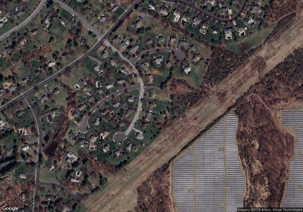
Map
Nearby Homes
- 720 Colonial Ct
- 713 Colonial Ct
- 93 Windy Willow Way
- 31 S Davenport St
- 46 Strawberry Hill Rd
- 9 Weavers Ln
- 203 Red Crest Ln
- 511 Red Crest Ln
- 2 Carlisle Rd
- 1601 Breckenridge Dr
- 27 Fremont St
- 107 Readington Rd
- 1053 Hillcrest Dr
- 126 Carriage Hill Way
- 23 Buffalo Hollow Rd
- 15 Campbell Ct
- 6 Heritage Ct
- 5 Walnut Dr
- 317 Old York Rd
- 21 Cheyenne Trail
- 525 Woodside Ln
- 517 Woodside Ln
- 529 Woodside Ln
- 601 Christian Ln
- 513 Woodside Ln
- 528 Woodside Ln
- 533 Woodside Ln
- 605 Christian Ln
- 600 Christian Ln
- 509 Woodside Ln
- 510 Woodside Ln
- 708 Colonial Ct
- 712 Colonial Ct
- 537 Woodside Ln
- 609 Christian Ln
- 604 Christian Ln
- 716 Colonial Ct
- 536 Woodside Ln
- 608 Christian Ln
- 506 Woodside Ln