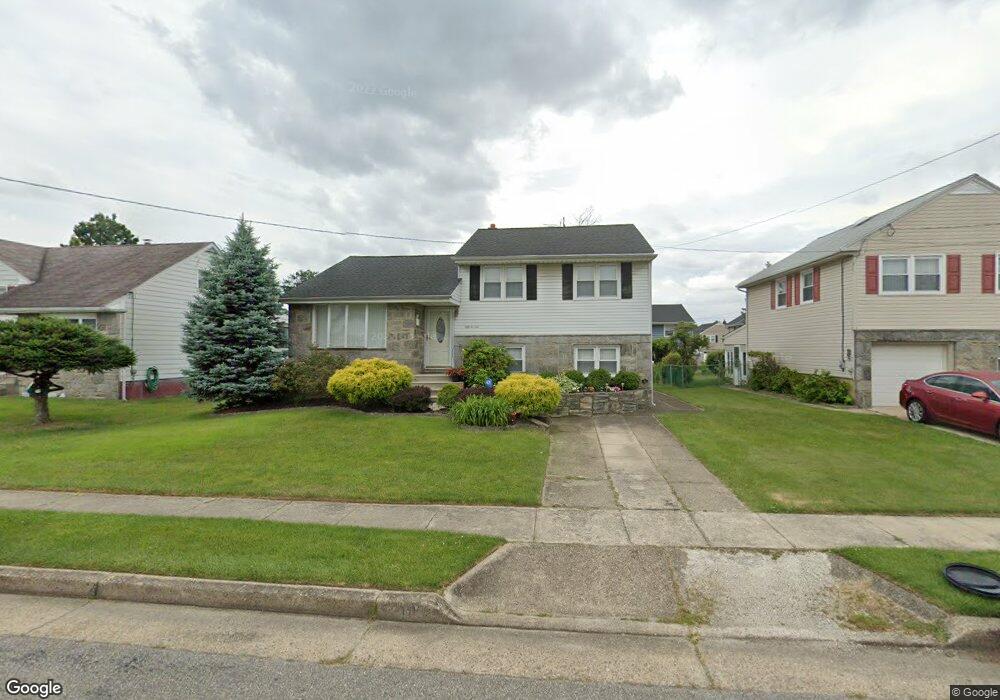
5210 Baker Ave Pennsauken, NJ 08109
Estimated Value: $289,395 - $355,000
--
Bed
--
Bath
1,736
Sq Ft
$190/Sq Ft
Est. Value
About This Home
This home is located at 5210 Baker Ave, Pennsauken, NJ 08109 and is currently estimated at $329,349, approximately $189 per square foot. 5210 Baker Ave is a home located in Camden County with nearby schools including Pennsauken High School, St. Peter Elementary School, and Camden Forward School.
Ownership History
Date
Name
Owned For
Owner Type
Purchase Details
Closed on
Apr 20, 2010
Sold by
Fuller James E and Fuller Mae D
Bought by
Fuller Mae D
Current Estimated Value
Home Financials for this Owner
Home Financials are based on the most recent Mortgage that was taken out on this home.
Original Mortgage
$285,000
Outstanding Balance
$190,102
Interest Rate
5.03%
Mortgage Type
Reverse Mortgage Home Equity Conversion Mortgage
Estimated Equity
$139,247
Create a Home Valuation Report for This Property
The Home Valuation Report is an in-depth analysis detailing your home's value as well as a comparison with similar homes in the area
Home Values in the Area
Average Home Value in this Area
Purchase History
| Date | Buyer | Sale Price | Title Company |
|---|---|---|---|
| Fuller Mae D | -- | -- |
Source: Public Records
Mortgage History
| Date | Status | Borrower | Loan Amount |
|---|---|---|---|
| Open | Fuller Mae D | $285,000 |
Source: Public Records
Tax History Compared to Growth
Tax History
| Year | Tax Paid | Tax Assessment Tax Assessment Total Assessment is a certain percentage of the fair market value that is determined by local assessors to be the total taxable value of land and additions on the property. | Land | Improvement |
|---|---|---|---|---|
| 2025 | $6,632 | $289,600 | $61,800 | $227,800 |
| 2024 | $6,504 | $152,400 | $43,700 | $108,700 |
| 2023 | $6,504 | $152,400 | $43,700 | $108,700 |
| 2022 | $5,881 | $152,400 | $43,700 | $108,700 |
| 2021 | $5,570 | $152,400 | $43,700 | $108,700 |
| 2020 | $5,410 | $152,400 | $43,700 | $108,700 |
| 2019 | $5,473 | $152,400 | $43,700 | $108,700 |
| 2018 | $5,502 | $152,400 | $43,700 | $108,700 |
| 2017 | $5,512 | $152,400 | $43,700 | $108,700 |
| 2016 | $5,413 | $152,400 | $43,700 | $108,700 |
| 2015 | $5,575 | $152,400 | $43,700 | $108,700 |
| 2014 | $5,484 | $98,600 | $22,800 | $75,800 |
Source: Public Records
Map
Nearby Homes
- 5131 Garfield Ave
- 5445 Homestead Ave
- 5506 Wisteria Ave
- 5915 Lexington Ave
- 4908 Laurel Ave
- 5468 Drexel Ave
- 6126 Lexington Ave
- 4817 Caroline Ave
- 4782 Lafayette Ave
- 4817 Browning Rd
- 5313 Royal Ave
- 4749 Poplar Ave
- 5236 Royal Ave
- 6402 Browning Rd
- 209 W End Ave
- 220 Volans St
- 623 Merchant St
- 4116 Burwood Ave
- 5224 Marlton Pike Unit 68
- 5224 Marlton Pike Unit 33
- 5202 Baker Ave
- 5218 Baker Ave
- 5225 Halpin Ave
- 5217 Halpin Ave
- 5226 Baker Ave
- 5233 Halpin Ave
- 5209 Halpin Ave
- 5608 Plymouth Ave
- 5217 Baker Ave
- 5225 Baker Ave
- 5234 Baker Ave
- 5241 Halpin Ave
- 5518 Plymouth Ave
- 5614 Plymouth Ave
- 5233 Baker Ave
- 5308 Baker Ave
- 5307 Halpin Ave
- 5241 Baker Ave
- 5210 Terrace Ave
- 5218 Halpin Ave